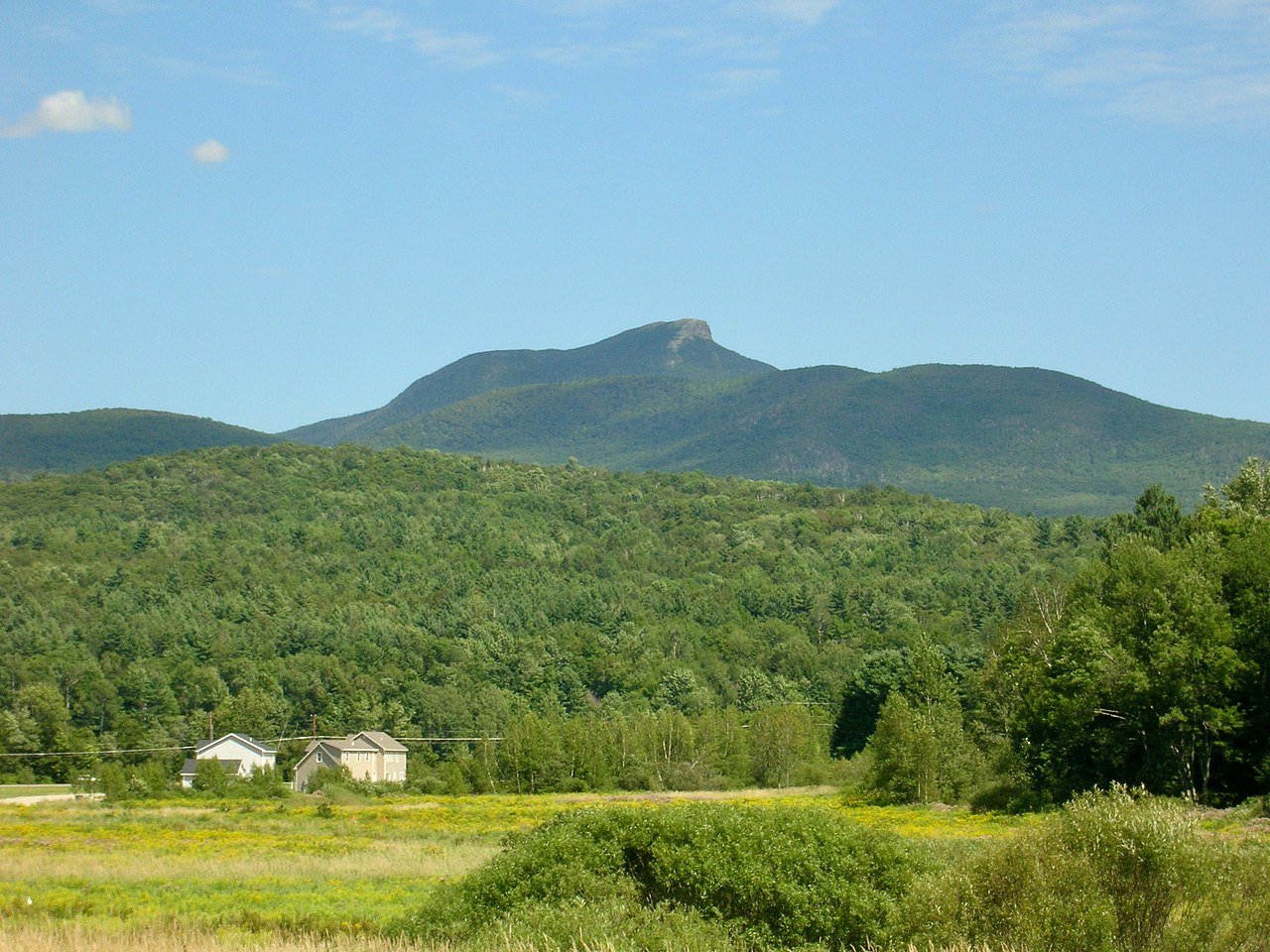
Hump Brook Campsite
Campground
Campground · 6.8 mi from the trail
Hires Trail is a short, easy loop hike in Vermont, about 1.6 miles from the town of Huntington. The trail is 0.55 miles long, with a one-way climb of 279 feet from a low point of 729 feet to a high of 907 feet. The route is rolling, and the steepest stretch comes at about 0.22 miles in, with a 12% grade. Summer and early fall are the most comfortable times to go. Typical averages from a nearby weather station in Burlington show July highs around 82°F and September highs near 73°F, with snow days common from December through March. Several other trails sit close by. Spear Trail is about 0.1 mile away, and Warbler Trail and Bailey Trail are each about 0.2 mile off. For climbing, Upstream Boulder is roughly 4.4 miles away.
Hump Brook Campsite
Campground
 If it rainsVermontMaple, Public domain · Wikimedia Commons
Places © OpenStreetMap contributors · Photos: VermontMaple, Public domain (commons)
More in South BurlingtonSource: Roamze catalog (indexable pages within 10 miles, PostGIS distance)
 Texas Hill TrailHiking · ~3 min drivePhoto: Magicpiano, CC BY-SA 4.0 (via Wikimedia Commons)
 Honey Hollow TrailHiking · ~7 min drivePhoto: Magicpiano, CC BY-SA 4.0 (via Wikimedia Commons)
 Alpine TrailHiking · ~10 min drivePhoto: matt.a, CC BY 3.0 (via Wikimedia Commons)
 Dean TrailHiking · ~12 min drivePhoto: matt.a, CC BY 3.0 (via Wikimedia Commons)
 SkywalkerHiking · ~3 min drivePhoto: Magicpiano, CC BY-SA 4.0 (via Wikimedia Commons)Forest City TrailHiking · ~11 min drivePhoto: matt.a, CC BY 3.0 (via Wikimedia Commons)Upper Saddle TrailHiking · ~3 min drivePhoto: Magicpiano, CC BY-SA 4.0 (via Wikimedia Commons)
Best months: August–September. Best months have typical highs of 55–85 °F, lows of 30 °F or warmer (32 °F where the station doesn't record snow), at most one snowy day and no more than 12 wet days.
Jan
29° / 13°
15 wet · 14 snow
Feb
32° / 14°
12 wet · 12 snow
Mar
41° / 24°
13 wet · 9 snow
Apr
55° / 36°
13 wet · 3 snow
May
69° / 48°
13 wet
Jun
78° / 57°
13 wet
Jul
82° / 62°
13 wet
Aug
81° / 61°
12 wet
Sep
73° / 53°
11 wet
Oct
59° / 42°
13 wet · 1 snow
Nov
46° / 32°
14 wet · 5 snow
Dec
35° / 21°
15 wet · 11 snow
Typical high / low (°F) and days with rain or snow, 1991–2020. Measured at Burlington Intl Ap, VT, 11.2 mi away at 330 ft. The station sits about 600 ft lower than this place, so expect it a little cooler here. Source: NOAA NCEI U.S. Climate Normals 1991–2020.
Map and trail data © OpenStreetMap contributors