Dine Trail
- 0.6 mi
- round trip
- 145 ft
- climb
- 1,598 ft
- high point
- Out and back
- route
- Apr–Oct
- best months
Dine Trail is a short, easy hike on the Silvio O. Conte National Fish and Wildlife Refuge in Vermont, managed by the U.S. Fish and Wildlife Service. The route is about 1.2 miles long and shaped as an out-and-back, with the high point at 1,598 feet and the low point at 1,487 feet. The climb is front-loaded, with the steepest stretch at about 0.34 miles in, and the total one-way gain is 101 feet. Late spring through early fall is the most comfortable time to go. Typical averages from a nearby weather station show July highs around 81°F and September highs near 72°F, though that station sits about 1,000 feet below the trail, so temperatures on the refuge run cooler. Beaver Pond Loop Trail is 0.4 miles away, and Bennett Road Trail and Ridgeline Trail are within a mile. For climbing, Jamaica Boulders lies about 9.5 miles off.
- Beaver Pond Loop TrailHiking0.4 mi
- Bennett Road TrailHiking0.5 mi
- Ridgeline TrailHiking0.7 mi
- Hannum TrailHiking1 mi
 Shoulder TrailHikingPhoto: Magicpiano, CC BY-SA 3.0 (via Wikimedia Commons)2 mi
- Second WallRock climbing9.2 mi
- Jamaica BouldersRock climbing9.5 mi
- Entry BoulderRock climbing9.7 mi
Source: Roamze catalog (indexable pages within 10 miles, PostGIS distance)
- Shoulder TrailHiking · ~3 min drivePhoto: Magicpiano, CC BY-SA 3.0 (via Wikimedia Commons)
- North TrailHiking · ~4 min drivePhoto: Magicpiano, CC BY-SA 3.0 (via Wikimedia Commons)
- Cheshire Rail TrailHiking · ~16 min drive
 Windmill Hill TrailHiking · ~5 min drivePhoto: daxtell, CC BY-SA 3.0 (via Wikimedia Commons)
- West Cliff TrailHiking · ~5 min drivePhoto: daxtell, CC BY-SA 3.0 (via Wikimedia Commons)
 Ed Dodd TrailHiking · ~5 min drivePhoto: daxtell, CC BY-SA 3.0 (via Wikimedia Commons)
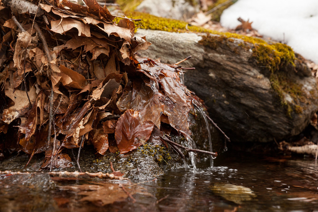 Mine Ledge TrailHiking · ~16 min drivePhoto: aerugino, CC BY 2.0 (via Flickr)
- Holden TrailHiking · ~8 min drivePhoto: daxtell, CC BY-SA 3.0 (via Wikimedia Commons)
- Anne Stokes Loop TrailHiking · ~17 min drivePhoto: aerugino, CC BY 2.0 (via Flickr)
- Jamie Latham TrailHiking · ~9 min drivePhoto: daxtell, CC BY-SA 3.0 (via Wikimedia Commons)
Best time to visit Dine Trail
Best months: April–October. Best months have typical highs of 55–85 °F, lows of 30 °F or warmer (32 °F where the station doesn't record snow), at most one snowy day and no more than 12 wet days.
Jan
31° / 13°
Feb
33° / 14°
Mar
42° / 21°
Apr
55° / 33°
May
67° / 44°
Jun
75° / 53°
Jul
81° / 58°
Aug
79° / 56°
Sep
72° / 49°
Oct
60° / 38°
Nov
47° / 28°
Dec
36° / 19°
Typical high / low (°F) and days with rain or snow, 1991–2020. Measured at Walpole 2s Nepp, NH, 9 mi away at 604 ft. The station sits about 1,000 ft lower than this place, so expect it a little cooler here. This station doesn't record snowfall. Source: NOAA NCEI U.S. Climate Normals 1991–2020.
