Clarendon Shelter
- Jun–Oct
- best months
- At 1,223 ft
CLARENDON SHELTER (Campground)
Local outfitters
- Great River Outfitters26 mi away
Not on Roamze yet. Their page has how to reach them.
- Clarendon Gorge Upper FallsRock climbing0.7 mi
- North Country National Scenic - New YorkHiking1.5 mi
- Lower Clarendon Gorge State ForestState park2.1 mi
- Bear MountainSummit3.9 mi
- Mears Meadow TrailHiking3.9 mi
- Clarendon RiverCanoeing5.6 mi
- Greenwall ShelterCamping5.8 mi
- Center Rutland FallsWaterfall7.5 mi
Source: Roamze catalog (indexable pages within 10 miles, PostGIS distance)
- Hapgood PondCamping · ~32 min drive
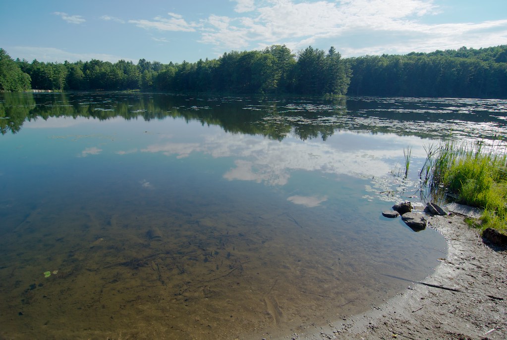 Half Moon Pond State ParkCamping · ~33 min drivePhoto: Ben B Miller — CC BY-SA 2.0 (via Flickr)
- Chittenden Brook CampgroundCamping · ~36 min drive
 Winhall Brook CampgroundCamping · ~44 min drivePhoto: dickmfield — CC BY 2.0 (via Flickr)
- Minerva Hinchey ShelterCamping · ~4 min drive
- Gov. Clement ShelterCamping · ~7 min drive
- Greenwall ShelterCamping · ~10 min drive
- Little Rock Pond Shelter & Tent AreaCamping · ~15 min drive
- Churchill Scott ShelterCamping · ~15 min drive
- .Coolidge State Park CampgroundCamping · ~19 min drive
Best time to visit Clarendon Shelter
Best months: June–October. Best months have typical highs of 55–85 °F, lows of 30 °F or warmer (32 °F where the station doesn't record snow), at most one snowy day and no more than 12 wet days.
Jan
29° / 8°
13 wet · 9 snow
Feb
32° / 9°
10 wet · 8 snow
Mar
41° / 18°
12 wet · 6 snow
Apr
55° / 31°
12 wet · 2 snow
May
68° / 42°
13 wet
Jun
76° / 52°
12 wet
Jul
80° / 56°
12 wet
Aug
78° / 54°
11 wet
Sep
71° / 46°
10 wet
Oct
58° / 35°
12 wet
Nov
46° / 26°
12 wet · 3 snow
Dec
35° / 16°
14 wet · 8 snow
Typical high / low (°F) and days with rain or snow, 1991–2020. Measured at Rutland, VT, 7.7 mi away at 620 ft. The station sits about 600 ft lower than this place, so expect it a little cooler here. Source: NOAA NCEI U.S. Climate Normals 1991–2020.
