Millcreek Canyon
Millcreek Canyon in Utah has 6 sport climbing routes with 6 distinct difficulty grades.
- 6 routes
- 5.7 – 5.11c
- Sport
Is Millcreek Canyon open right now?
No closures listed
The Forest Service lists no closures for Uinta-Wasatch-Cache National Forest.
As of · Source: USFS · Uinta-Wasatch-Cache National Forest. Agencies don't list every closure — check before you go.
Best time to visit Millcreek Canyon
Best months: April–June and September–October. Best months have typical highs of 55–85 °F, lows of 30 °F or warmer (32 °F where the station doesn't record snow), at most one snowy day and no more than 12 wet days.
Jan
40° / 20°
12 wet
Feb
44° / 24°
11 wet
Mar
53° / 30°
11 wet
Apr
60° / 35°
12 wet
May
70° / 43°
11 wet
Jun
81° / 49°
7 wet
Jul
89° / 56°
5 wet
Aug
88° / 56°
6 wet
Sep
79° / 48°
8 wet
Oct
65° / 38°
9 wet
Nov
50° / 30°
10 wet
Dec
40° / 22°
12 wet
Typical high / low (°F) and days with rain or snow, 1991–2020. Measured at Mtn Dell Dam, UT, 4.5 mi away at 5,420 ft. This station doesn't record snowfall. Source: NOAA NCEI U.S. Climate Normals 1991–2020.
Millcreek Canyon is a climbing area in Utah's Uinta-Wasatch-Cache National Forest, within the Salt Lake Ranger District. The Forest Service manages the land, and the canyon sits among a cluster of climbing and hiking routes, with Jug Haul Wall and The Stitches Wall both within a mile. The climbing here is all sport, and the routes run from about 5.7 to 5.11c. Henry's Corner is the easiest at 5.7, and Neuro-Deficits is the hardest at 5.11c. The Bst Rattlesnake hike starts just 0.1 mile away, and the Pipeline Trail is 0.3 mile off. For timing, late spring and early fall are the most comfortable. Typical averages from the nearby Mtn Dell Dam weather station show May highs around 70°F and September highs near 79°F, while July and August average in the upper 80s. Jordan Pines Campground and Lake Florence are both about 7 miles away, and Spruces Campground is a little farther.
Routes (6)
Grandeur Slander Wall(1)
Log, The(1)
Millcreek Monster(3)
Sensei Spire(1)
Keep exploring — more climbs worth the drive
 Photo: AndreyZharkikh, CC BY 2.0 (via Flickr)
Grandeur Peak
~2 min drive
Grandeur Peak in Utah offers 11 sport climbing routes across 8 difficulty grades.
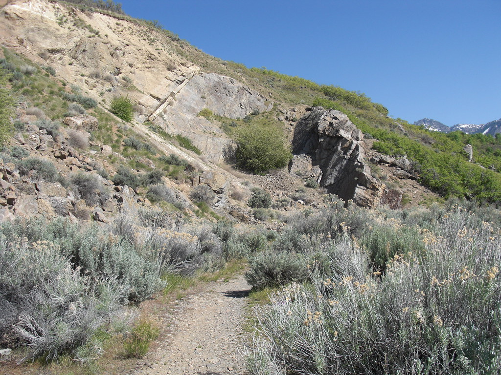 Photo: AndreyZharkikh, CC BY 2.0 (via Flickr)
The Bungalow
~3 min drive
11-route climbing area in Utah with sport and trad options.
 Photo: CountyLemonade, CC BY 2.0 (via Flickr)
Salt Lake Urban Crag
~3 min drive
Salt Lake Urban Crag in Utah has 4 routes ranging from bouldering pads to mixed climbing.
 Photo: Shaan Hurley, CC BY 2.0 (via Flickr)
Mount Olympus
~4 min drive
Mount Olympus in Utah has 2 trad climbing routes.
 Photo: Shaan Hurley, CC BY 2.0 (via Flickr)
Sport Utility Wall
~4 min drive
Sport Utility Wall in Utah has 6 routes from V2 to V4, offering sport and trad climbing.
Photo: Shaan Hurley, CC BY 2.0 (via Flickr)South Summit
~4 min drive
South Summit in Utah has 7 climbing routes with 4 difficulty grades, offering sport and trad options.
 Photo: rodrigodemarque, CC BY 3.0 (via Wikimedia Commons)
Offwidth Boulder
~6 min drive
6 bouldering routes in Utah at 5.10-5.12+
Photo: rodrigodemarque, CC BY 3.0 (via Wikimedia Commons)Old Pin Boulder
~6 min drive
Old Pin Boulder is a Utah climbing area with 8 bouldering routes.
Photo: rodrigodemarque, CC BY 3.0 (via Wikimedia Commons)City Rock Area
~6 min drive
City Rock Area is a Utah climbing crag with 3 bouldering routes.
Photo: rodrigodemarque, CC BY 3.0 (via Wikimedia Commons)Pete's Rock
~6 min drive
Pete's Rock in Utah has 8 routes with bouldering pads, mixed, sport, and trad climbing.

