Soldier Creek
- 23.1 mi
- distance
- 6,598 ft
- high point
- May–Sep
- best months
Soldier Creek is a 23-mile paddling stretch near Springville, Utah, within the Dairy Fork State Wildlife Area, which the state fish and wildlife agency manages. The creek flows year-round, and USGS models put the average flow at about 125 cubic feet per second with a gradient of roughly 63.8 feet per mile. Summer is the most comfortable time to paddle. Typical averages from the Scofield Dam weather station, about 16 miles away, put July and August highs near 78°F with lows around 45°F, while winter highs stay in the 30s. That station sits about 1,000 feet lower than the creek, so temperatures on the water run cooler. The closest trails are the Spur of East Dairy Fork N, about 2 miles away, and Mill Fork and Teat Mountain Trail, each roughly 2.5 miles out. Diamond Fork, another paddling route, lies about 9 miles away.
Local outfitters
- Midway Adventure Company38 mi away
- Dive Addicts48 mi away
Not on Roamze yet. Their page has how to reach them.
- Spur of East Dairy Fork NHiking1.8 mi
- Mill ForkHiking2.5 mi
- Teat Mountain TrailHiking2.5 mi
- Mill Fork DrivewayHiking2.8 mi
 Diamond Fork CanyonRock climbingPhoto: The Dye Clan, CC BY-SA 3.0 (via Wikimedia Commons)8.6 mi
- Red LedgesRock climbingPhoto: The Dye Clan, CC BY-SA 3.0 (via Wikimedia Commons)8.9 mi
- DiamondCamping9.2 mi
 Diamond ForkCanoeingPhoto: An Errant Knight, CC BY-SA 4.0 (via Wikimedia Commons)9.3 mi
Source: Roamze catalog (indexable pages within 10 miles, PostGIS distance)
- Diamond ForkCanoeing · ~16 min drivePhoto: An Errant Knight, CC BY-SA 4.0 (via Wikimedia Commons)
- Renegade Boat RampBoat launch · ~24 min drive
 Thistle CreekCanoeing · ~20 min drivePhoto: An Errant Knight, CC BY-SA 4.0 (via Wikimedia Commons)
- Scofield Reservoir Boat LaunchBoat launch · ~28 min drive
 Hobble CreekCanoeing · ~33 min drivePhoto: An Errant Knight, CC BY-SA 4.0 (via Wikimedia Commons)
- Strawberry Boat RampBoat launch · ~29 min drive
 American ForkCanoeing · ~1h 7m drivePhoto: David Jolley, CC BY-SA 3.0 (via Wikimedia Commons)
- Aspen Boat RampBoat launch · ~32 min drive
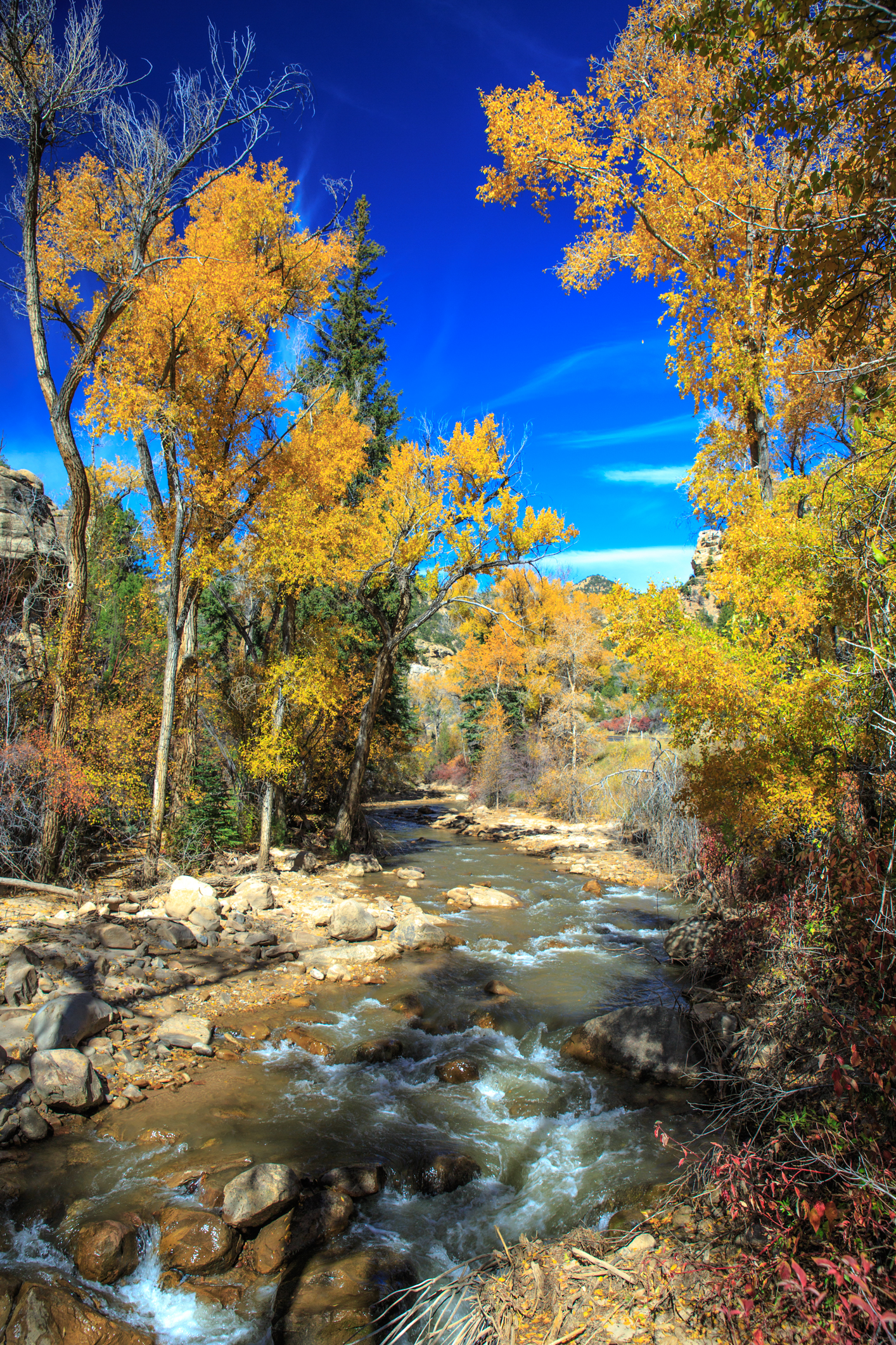 Huntington CreekCanoeing · ~1h 19m drivePhoto: Murray Foubister, CC BY-SA 2.0 (via Wikimedia Commons)
- Soldier Creek Boat RampBoat launch · ~33 min drive
Also worth it near here
- Unicorn Ridge Dispersed CampgroundCamping · ~8 min drive
 Long Hollow TrailHiking · ~9 min drivePhoto: BFS Man from Webster, TX, USA, CC BY 2.0 (via Wikimedia Commons)
- Diamond Fork CanyonRock climbing · ~15 min drivePhoto: The Dye Clan, CC BY-SA 3.0 (via Wikimedia Commons)
- Diamond Fork ArchNatural arch · ~15 min drive
Best time to visit Soldier Creek
Best months: May–September. Best months have typical highs of 55–85 °F, lows of 30 °F or warmer (32 °F where the station doesn't record snow), at most one snowy day and no more than 12 wet days.
Jan
30° / 4°
Feb
34° / 6°
Mar
42° / 15°
Apr
49° / 25°
May
61° / 32°
Jun
72° / 39°
Jul
78° / 45°
Aug
78° / 45°
Sep
68° / 37°
Oct
55° / 29°
Nov
42° / 18°
Dec
31° / 6°
Typical high / low (°F) and days with rain or snow, 1991–2020. Measured at Scofield Dam, UT, 16.6 mi away at 7,630 ft. The station sits about 1,000 ft higher than this place, so expect it a little warmer here. This station doesn't record snowfall. Source: NOAA NCEI U.S. Climate Normals 1991–2020.
