Price River
- 51.2 mi
- distance
- 7,641 ft
- high point
- May–Sep
- best months
The Price River is a 51-mile paddling stretch near Helper, Utah, on land managed by the Bureau of Land Management's Price Field Office. It flows year-round, with typical averages from the nearby Scofield Dam weather station showing July and August highs around 78°F and lows near 45°F. Spring and fall are cooler, with May highs around 61°F and September highs around 68°F. The river's average flow is about 231 cubic feet per second, and its gradient is about 43.1 feet per mile, according to USGS models. That makes it a steady, continuous run rather than a fast-moving or rough stretch. Spring Canyon and Volkswagon Wall, both climbing areas, sit about 2 miles away. Sham Rock and Roll and Floating Rocks are hikes roughly 4.5 miles off. For an overnight stay, Price Canyon Recreation Area is about 7 miles away.
 Spring CanyonRock climbingPhoto: Loco Steve, CC BY 3.0 (via Wikimedia Commons)1.9 mi
- Volkswagon WallRock climbingPhoto: Loco Steve, CC BY 3.0 (via Wikimedia Commons)1.9 mi
- Sham Rock and RollHiking4.4 mi
- LollypopHiking4.5 mi
- Floating RocksHiking4.7 mi
- PonderMountain biking5 mi
 Price CanyonRock climbingPhoto: Ken Lund, CC BY-SA 2.0 (via Flickr)5.5 mi
- Price Canyon Recreation AreaCamping6.8 mi
Source: Roamze catalog (indexable pages within 10 miles, PostGIS distance)
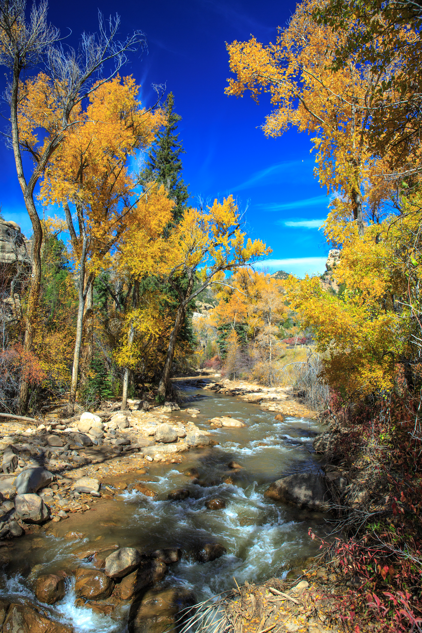 Huntington CreekCanoeing · ~43 min drivePhoto: Murray Foubister, CC BY-SA 2.0 (via Wikimedia Commons)
- Scofield Reservoir Boat LaunchBoat launch · ~25 min drive
 Cottonwood CreekCanoeing · ~58 min drivePhoto: Clyde Charles Brown, CC BY-SA 4.0 (via Wikimedia Commons)
- Electric Lake North Side Boating SiteBoat launch · ~33 min drive
 Thistle CreekCanoeing · ~1h 1m drivePhoto: An Errant Knight, CC BY-SA 4.0 (via Wikimedia Commons)
- Huntington Reservoir/Mammoth Fishing Boating SiteBoat launch · ~37 min drive
 Diamond ForkCanoeing · ~1h 6m drivePhoto: An Errant Knight, CC BY-SA 4.0 (via Wikimedia Commons)
- Aspen Boat RampBoat launch · ~53 min drive
 Hobble CreekCanoeing · ~1h 24m drivePhoto: An Errant Knight, CC BY-SA 4.0 (via Wikimedia Commons)
- Renegade Boat RampBoat launch · ~56 min drive
Best time to visit Price River
Best months: May–September. Best months have typical highs of 55–85 °F, lows of 30 °F or warmer (32 °F where the station doesn't record snow), at most one snowy day and no more than 12 wet days.
Jan
30° / 4°
Feb
34° / 6°
Mar
42° / 15°
Apr
49° / 25°
May
61° / 32°
Jun
72° / 39°
Jul
78° / 45°
Aug
78° / 45°
Sep
68° / 37°
Oct
55° / 29°
Nov
42° / 18°
Dec
31° / 6°
Typical high / low (°F) and days with rain or snow, 1991–2020. Measured at Scofield Dam, UT, 14 mi away at 7,630 ft. This station doesn't record snowfall. Source: NOAA NCEI U.S. Climate Normals 1991–2020.
