

Red Desert RV Park
Hiking business nearby (~37 mi away) — hasn't claimed their Roamze page yet
Free — you'll pick up right here.
Watch this trail
Sign up to watch it — saving subscribes you to gate, closure and report changes.
Utah
3.3 mi
Distance
895 ft
Gain
1h 32m
Time
We won't guess. Here is exactly what we do and don't know.
What we do know
Inside Manti-La Sal National Forest
2 managing-area boundaries mapped — agency alerts for them feed this page automatically.
Boundary data
What's missing
No access route mapped
We don't yet know which road reaches this trailhead, so we can't tell you if it's gated.
Nobody's filed a report here yet — be the first.
Why you'll love it
Shay Mesa
AI-suggested draft · review before you go
No permit or access details on file for this trail — check with the local land manager before you go.
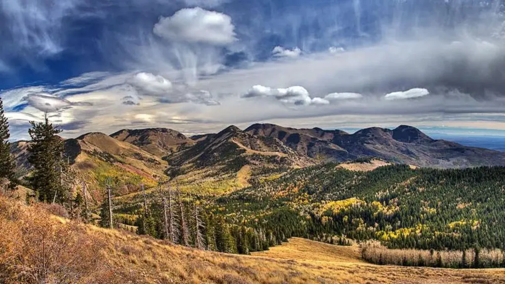
Shay Mesa offers a scenic high-desert hike with nearly 900 feet of elevation gain across just over 3 miles, making it an accessible option for those seeking expansive views without excessive distance. The trail traverses the mesa terrain characteristic of Utah's plateau country, likely featuring open vistas and desert vegetation. This relatively short but moderately steep route rewards hikers with excellent panoramic views of the surrounding landscape.
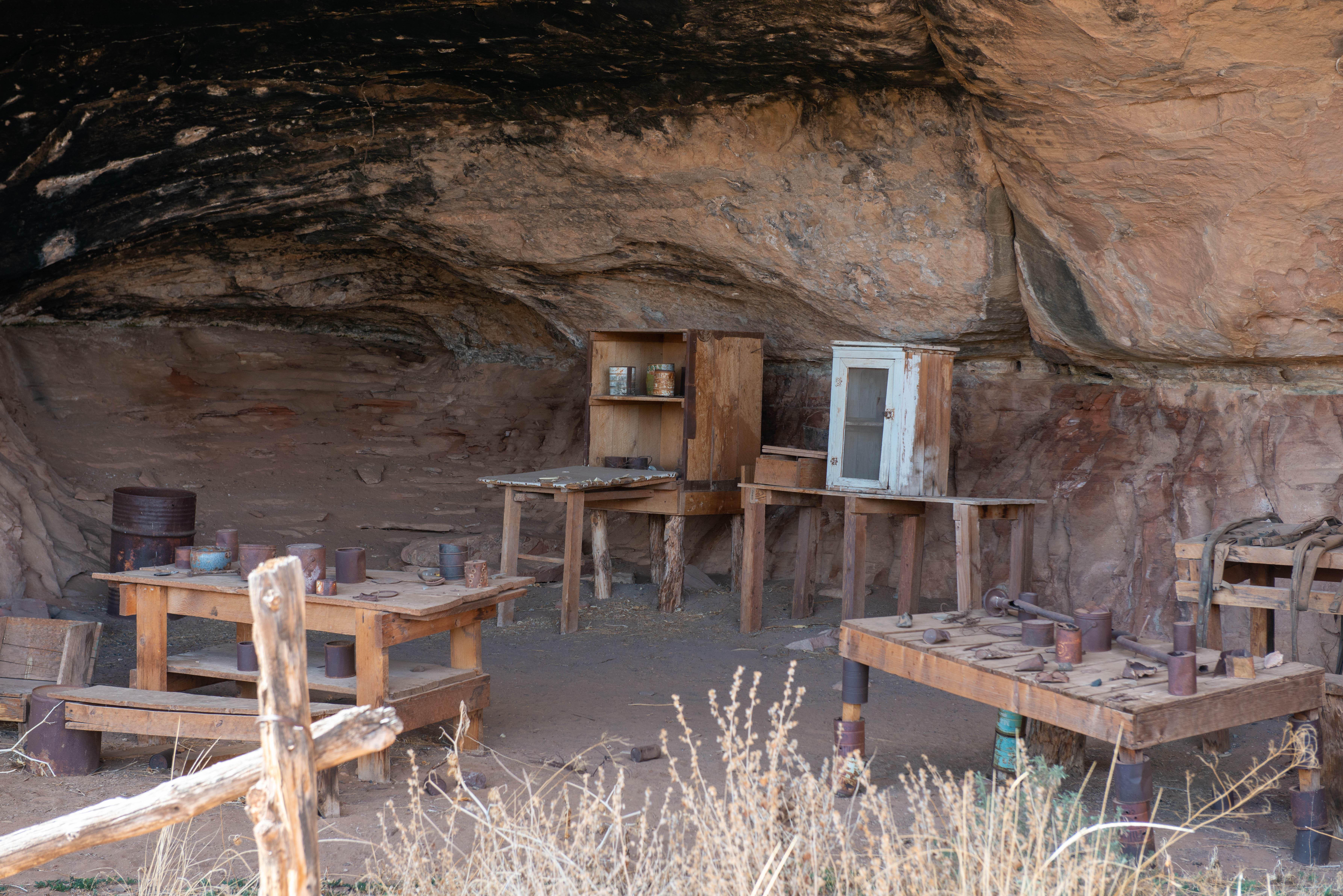
Canyonlands' Cave Spring Trail
~27 min drive
<p>This is the trailhead for a short, 0.6-mile (1 km) loop leading to a historic cowboy camp and prehistoric rock markings. You will climb two ladders to complete the route. </p> <ul> <li><strong>Roundtrip Distance</strong>: 0.6 mi (1 km) Time: 45 min</li> <li><strong>Elevatio…
N Cottonwood Rim Se Ext
~0 min drive
Easy 1.1-mile rim trail with 240 ft elevation gain near Cottonwood Rim.
Hop Creek
~5 min drive
Moderate 9.84-mile creek-side hike with 2,459 ft elevation gain.
Allen Canyon East Slope
~11 min drive
Scenic 3.5-mile canyon ascent with 742 ft elevation gain.
Salt Creek
~13 min drive
Long out-and-back canyon trail following Salt Creek through Utah backcountry.
Boundary Butte Vista
~11 min drive
Short, steep trail with excellent vista views near Boundary Butte.
Blue Creek-Tuerto
~12 min drive
Moderate 7-mile mountain hike with 1,949 ft elevation gain.
Lower Indian Creek Overlook Lp
~12 min drive
Scenic 4.5-mile loop with canyon overlook views and moderate elevation gain.
Davis Canyon
~15 min drive
Short out-and-back canyon hike in Utah's scenic canyon country.
Lower Indian Creek Cuttoff
~11 min drive
Easy 1.33-mile cutoff trail through Indian Creek area.
Local operatorsoffering guided trips. You book directly with them — Roamze doesn’t take a cut.
Red Desert RV Park
Hiking business nearby (~37 mi away) — hasn't claimed their Roamze page yet
Spanish Trail RV Park
Hiking business nearby (~40 mi away) — hasn't claimed their Roamze page yet
Moab Rim Campark
Hiking business nearby (~41 mi away) — hasn't claimed their Roamze page yet