
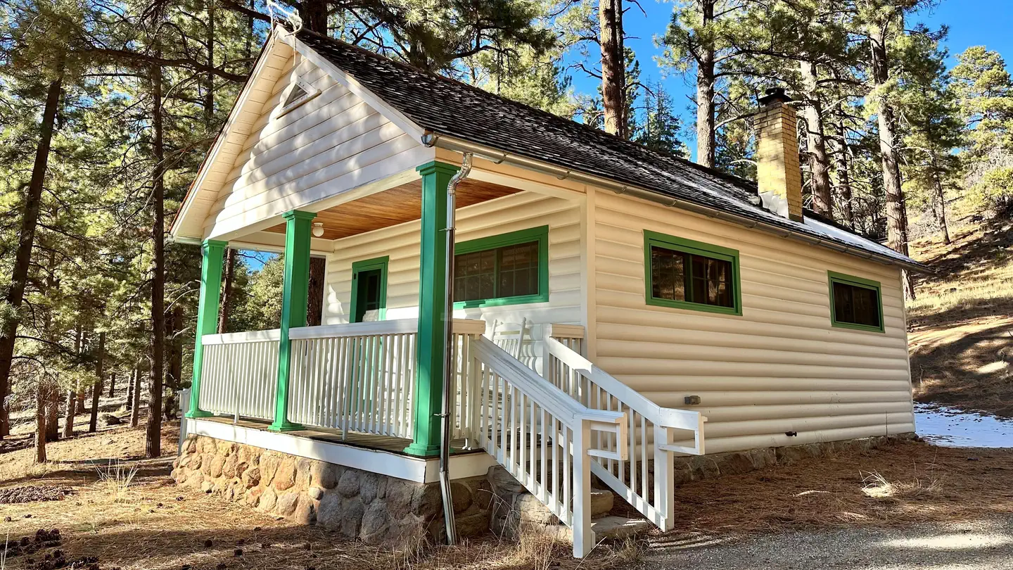

Settler's Junction RV Park
Hiking business nearby (~12 mi away) — hasn't claimed their Roamze page yet
Free — you'll pick up right here.
Watch this trail
Sign up to watch it — saving subscribes you to gate, closure and report changes.
Utah
7.7 mi
Distance
641 ft
Gain
2h 53m
Time
We won't guess. Here is exactly what we do and don't know.
What we do know
Inside Dixie National Forest
2 managing-area boundaries mapped — agency alerts for them feed this page automatically.
Boundary data
What's missing
No access route mapped
We don't yet know which road reaches this trailhead, so we can't tell you if it's gated.
Nobody's filed a report here yet — be the first.
Why you'll love it
Santa Clara River Loop
AI-suggested draft · review before you go
No permit or access details on file for this trail — check with the local land manager before you go.
The Santa Clara River Loop offers a scenic 7.72-mile journey through southwestern Utah's red rock country, featuring riparian vegetation along the Santa Clara River and desert canyon terrain. This moderate trail showcases the region's distinctive geology with colorful sandstone formations and provides excellent opportunities to observe the river ecosystem. The loop format allows hikers to experience varied perspectives of the landscape while enjoying relatively modest elevation gain.
Santa Clara River Trail
~0 min drive
Easy riverside walk through red rock canyon with water crossings.
Forsyth Trail
~2 min drive
Easy 2.74-mile trail with 458 ft gain, perfect for beginners.
Gardner Peak Trail
~3 min drive
Moderate 8-mile hike with 511 ft elevation gain to Gardner Peak.
Whipple Trail
~3 min drive
Steep 5.93-mile alpine climb with 3,301 ft elevation gain.
Blake-Gubler Trail
~7 min drive
Moderate 5.92-mile hike with 483 ft elevation gain and scenic ridgeline views.
Brown's Point Trail
~2 min drive
Quick 1.14-mile climb to scenic point with 440 ft elevation gain.
Canal Trail
~3 min drive
Moderate 7.2-mile canal-side hike with 1,276 ft elevation gain.
Equestrian Trail
~3 min drive
Scenic 3.72-mile equestrian trail with gentle elevation gain in Utah.
Highline Trail
~10 min drive
Easy 3-mile trail with 227 ft elevation gain and scenic Utah views.
Cemetary Trail
~3 min drive
Easy 2.5-mile cemetery walk with 394 ft elevation gain.
Local operatorsoffering guided trips. You book directly with them — Roamze doesn’t take a cut.
Settler's Junction RV Park
Hiking business nearby (~12 mi away) — hasn't claimed their Roamze page yet
Leeds RV, Motel, and Campsites
Hiking business nearby (~12 mi away) — hasn't claimed their Roamze page yet
Zions West RV Park
Hiking business nearby (~12 mi away) — hasn't claimed their Roamze page yet