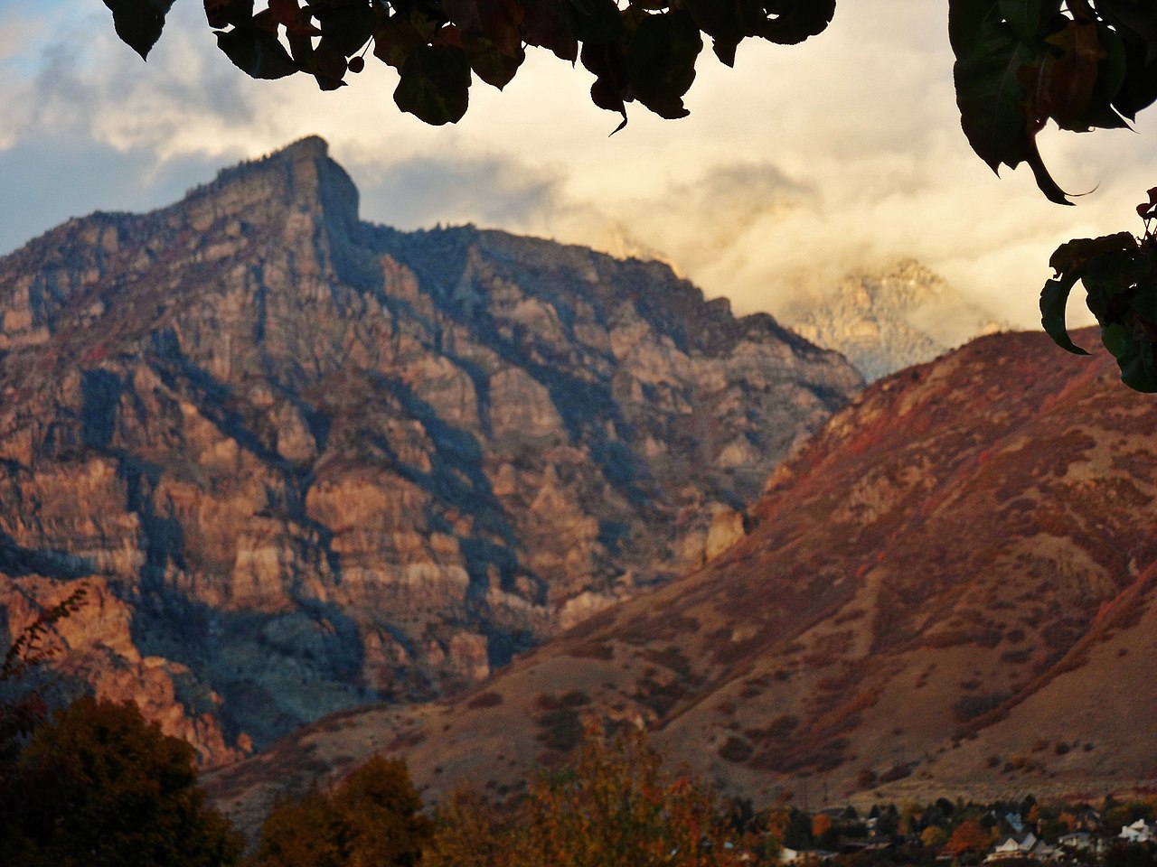
Rock Canyon
- 0.4 mi
- round trip
- 85 ft
- climb
- 5,269 ft
- high point
- Out and back
- route
Rock Canyon is a short, easy out-and-back hike in the Pleasant Grove Ranger District of the Uinta-Wasatch-Cache National Forest in Utah. The route is about 0.4 miles long, with a one-way climb of about 85 feet from a low point of roughly 5,169 feet to a high of about 5,269 feet. Spring and fall are the most comfortable times to go. Typical averages from a nearby weather station in Provo put May highs around 76°F and October highs around 68°F, while July and August average in the low 90s. The trail sits close to several other spots. The Bonneville Shoreline Trail and the East 2300 North route are each about 0.1 mile away, and the Mouth Boulders climbing area is about the same distance. For an overnight stay, Hope campground is about 2.8 miles away.
Keep exploring — more trails worth the drive
HIKE
Bonneville Shoreline Trail
Next door
0.64-mile out-and-back hike in Utah with 426 ft elevation gain
HIKE
Bonneville Shoreline Trail
Next door
1.7-mile out-and-back trail in Utah with 1,035 ft elevation gain
HIKE
Little Rock Canyon
~3 min drive
1.54-mile out-and-back trail in Utah with 1,269 ft elevation gain
HIKE
Bonneville Shoreline Trail
Next door
1.53-mile out-and-back hike along Utah Lake with 644 ft of elevation gain.
HIKE
Little Rock Trail
~2 min drive
4.48-mile out-and-back trail in Utah with 2,037 ft elevation gain and loss.
HIKE
Bonneville Shoreline Trail
~5 min drive
3.5-mile out-and-back hike in Utah with 1,653 ft elevation gain
HIKE
East 2300 North
Next door
East 2300 North is a 0.39-mile out-and-back trail in Utah with 160 ft of elevation loss.
HIKE
Kyhv Peak Trail
~2 min drive
2.00-mile out-and-back hike in Utah with 1,701 ft elevation gain.
HIKE
Temple Hill Drive
~1 min drive
0.21-mile out-and-back trail in Utah with 5 ft of elevation gain.
HIKE
Y Mountain Trail
~3 min drive
0.83-mile out-and-back hike at Y Mountain Trail in Utah with 991 ft gain.