High Ranger Trail
- 0.5 mi
- round trip
- 133 ft
- climb
- 10,011 ft
- high point
- Out and back
- route
Is High Ranger Trail open right now?
Alert in the area
The Forest Service lists 2 alerts for Fishlake National Forest.
PST 66 Rock Canyon Trail Temporarily Closed
Agency alert covering Fishlake National Forest · USFS · Fishlake National Forest
TERMINATION OF STAGE 1 FIRE RESTRICTION ORDER
Agency alert covering Fishlake National Forest · Order 0408-26-10 · USFS · Fishlake National Forest
As of · Source: USFS · Fishlake National Forest. Agencies don't list every closure — check before you go.
High Ranger Trail is an easy out-and-back hike in the Fremont River Ranger District of Fishlake National Forest in Utah, managed by the Forest Service. It is about half a mile from the town of Fremont and sits within the Fishlake National Forest. The trail is short and gentle. The total round-trip distance is about 0.9 miles, with a high point of about 10,000 feet. The one-way elevation gain is 19 feet, and the route is mostly flat, though it does pass a short, steeper stretch of about 8% grade around 0.35 miles in. Several other routes and places lie close by. Bowns Stock Drive is about 0.6 miles away, and the Great Western Trail - Browns Point Section is about a mile out. The A Journey Through Time Scenic Byway passes about 1.1 miles away, and Oak Creek Campground is about 2.4 miles from the trail.
Local outfitters
- Sand Creek RV Park & Campground18 mi away
- Escalante Outfitters24 mi away
Not on Roamze yet. Their page has how to reach them.
- Bowns Stock DriveHiking0.6 mi
- Great Western Trail - Browns Point SectionHiking1 mi
 A Journey Through Time Scenic BywayHikingPhoto: Greg Willis from Denver, CO, usa, CC BY-SA 2.0 (via Wikimedia Commons)1.1 mi
- Oak Creek CampgroundCamping2.4 mi
- Green LakeLake fishing2.5 mi
- Deer Creek LakeLake fishing2.6 mi
- Rosebud OHV CampgroundCamping3 mi
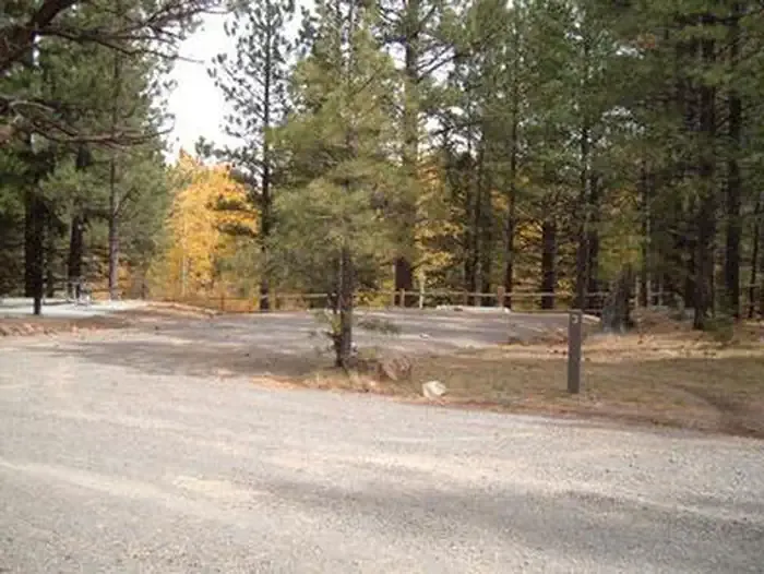 Rosebud ATVCampingPhoto: Recreation.gov (RIDB) / public domain3.3 mi
Source: Roamze catalog (indexable pages within 10 miles, PostGIS distance)
- A Journey Through Time Scenic BywayHiking · ~2 min drivePhoto: Greg Willis from Denver, CO, usa, CC BY-SA 2.0 (via Wikimedia Commons)
 Great Western TrailHiking · ~4 min drivePhoto: Frans-Banja Mulder, CC BY 3.0 (via Wikimedia Commons)
- Bluegrass TrailHiking · ~5 min drivePhoto: Greg Willis from Denver, CO, usa, CC BY-SA 2.0 (via Wikimedia Commons)
- Indian Trail BenchHiking · ~2 min drivePhoto: Greg Willis from Denver, CO, usa, CC BY-SA 2.0 (via Wikimedia Commons)
- Stair Canyon TrailHiking · ~5 min drivePhoto: Frans-Banja Mulder, CC BY 3.0 (via Wikimedia Commons)
 Deer Creek Lake TrailHiking · ~5 min drivePhoto: Frans-Banja Mulder, CC BY 3.0 (via Wikimedia Commons)
- Bowns Stock DriveHiking · Next door
- Long Neck TrailHiking · ~6 min drivePhoto: Frans-Banja Mulder, CC BY 3.0 (via Wikimedia Commons)
- Deer Creek TrailHiking · ~6 min drivePhoto: Frans-Banja Mulder, CC BY 3.0 (via Wikimedia Commons)
- Great Western Trail - Browns Point SectionHiking · ~2 min drive

Map and trail data © OpenStreetMap contributors
