Dry Bench Trail
- 4.7 mi
- round trip
- 933 ft
- climb
- 7,503 ft
- high point
- Out and back
- route
- Apr–Oct
- best months
Dry Bench Trail is a 9.5-mile out-and-back hike on Bureau of Land Management land in the Kanab Field Office of southern Utah. The trail runs from a starting point near 7,490 feet to a high point of about 7,500 feet, with a total elevation gain of 933 feet for the full round trip. The route is rated moderate, and the steepest section comes at about mile 1, where the grade reaches about 10%. For comfortable conditions, aim for late spring or early fall. Typical averages from the Boulder, Utah weather station, about 13 miles away, show May highs near 68°F and September highs near 74°F, with July and August the warmest and wettest months. Winter brings highs around 39°F and a few snowy days each month. The hike takes about 3.5 hours to complete. Nearby options include the Lampstand to Burr Trail and the Bluegrass Trail, both within 4 miles, and Lower Bowns campground about 7 miles away. Deer Creek Lake offers fishing roughly 8 miles off.
Local outfitters
- Sand Creek RV Park & Campground22 mi away
- Escalante Outfitters26 mi away
Not on Roamze yet. Their page has how to reach them.
- Lampstand to Burr TrailHiking2.9 mi
 Bluegrass TrailHikingPhoto: Greg Willis from Denver, CO, usa, CC BY-SA 2.0 (via Wikimedia Commons)3.8 mi
- South Fork Oak Creek TrailHiking4.3 mi
- Lower BownsCamping6.7 mi
- Rosebud OHV CampgroundCamping7.7 mi
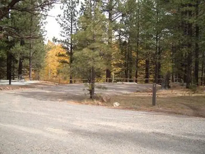 Rosebud ATVCampingPhoto: Recreation.gov (RIDB) / public domain7.8 mi
- Deer Creek LakeLake fishing8.4 mi
- Green LakeLake fishing8.5 mi
Source: Roamze catalog (indexable pages within 10 miles, PostGIS distance)
- A Journey Through Time Scenic BywayHiking · ~9 min drivePhoto: Greg Willis from Denver, CO, usa, CC BY-SA 2.0 (via Wikimedia Commons)
 Great Western TrailHiking · ~13 min drivePhoto: Frans-Banja Mulder, CC BY 3.0 (via Wikimedia Commons)
 Deer Creek TrailHiking · ~13 min drivePhoto: Frans-Banja Mulder, CC BY 3.0 (via Wikimedia Commons)
- Indian Trail BenchHiking · ~9 min drivePhoto: Greg Willis from Denver, CO, usa, CC BY-SA 2.0 (via Wikimedia Commons)
 Friskey TrailHiking · ~13 min drivePhoto: Greg Willis from Denver, CO, usa, CC BY-SA 2.0 (via Wikimedia Commons)
- Deer Creek Lake TrailHiking · ~15 min drivePhoto: Frans-Banja Mulder, CC BY 3.0 (via Wikimedia Commons)
- Quaking AspenHiking · ~11 min drive
- Stair Canyon TrailHiking · ~9 min drivePhoto: Frans-Banja Mulder, CC BY 3.0 (via Wikimedia Commons)
- Bluegrass TrailHiking · ~7 min drivePhoto: Greg Willis from Denver, CO, usa, CC BY-SA 2.0 (via Wikimedia Commons)
- Bowns Stock DriveHiking · ~12 min drive
Best time to visit DRY BENCH TRAIL
Best months: April–October. Best months have typical highs of 55–85 °F, lows of 30 °F or warmer (32 °F where the station doesn't record snow), at most one snowy day and no more than 12 wet days.
Jan
39° / 21°
6 wet · 4 snow
Feb
44° / 24°
6 wet · 4 snow
Mar
53° / 31°
5 wet · 2 snow
Apr
60° / 36°
4 wet · 1 snow
May
68° / 45°
5 wet
Jun
79° / 54°
4 wet
Jul
84° / 61°
8 wet
Aug
81° / 60°
10 wet
Sep
74° / 52°
7 wet
Oct
62° / 40°
5 wet
Nov
49° / 30°
4 wet · 1 snow
Dec
39° / 21°
5 wet · 4 snow
Typical high / low (°F) and days with rain or snow, 1991–2020. Measured at Boulder, UT, 12.7 mi away at 6,650 ft. The station sits about 900 ft lower than this place, so expect it a little cooler here. Source: NOAA NCEI U.S. Climate Normals 1991–2020.

