Group Site 25
Campground
Campground · 2.0 mi from the trail
Boulder Dash Trail is a short, easy out-and-back hike on Bureau of Land Management land within the Cedar City Field Office in Utah. The route is about 1.4 miles long, with a total elevation gain of 862 feet, and it starts at an elevation of about 6,728 feet. The trail reaches a high point of roughly 6,848 feet and drops back down to the same low of 6,487 feet. Late spring and early fall are the most comfortable times to go. Typical averages from a nearby weather station in Cedar City show May highs around 69°F and September highs around 77°F, with October and November cooling to the low 60s and 50s. The trip takes about an hour. Several other short hikes sit within a third of a mile, including Lava Flow Trail and Iron Giants Trail. Lollipop Rock, a climbing area, is about 1.3 miles away, and Pyramid Ridge Campground is about 2.1 miles off for anyone planning an overnight stay.
Group Site 25
Campground
State park and museum in the United States
Places © OpenStreetMap contributors, Places © Overture Maps Foundation
More in EnochNot on Roamze yet. Their page has how to reach them.
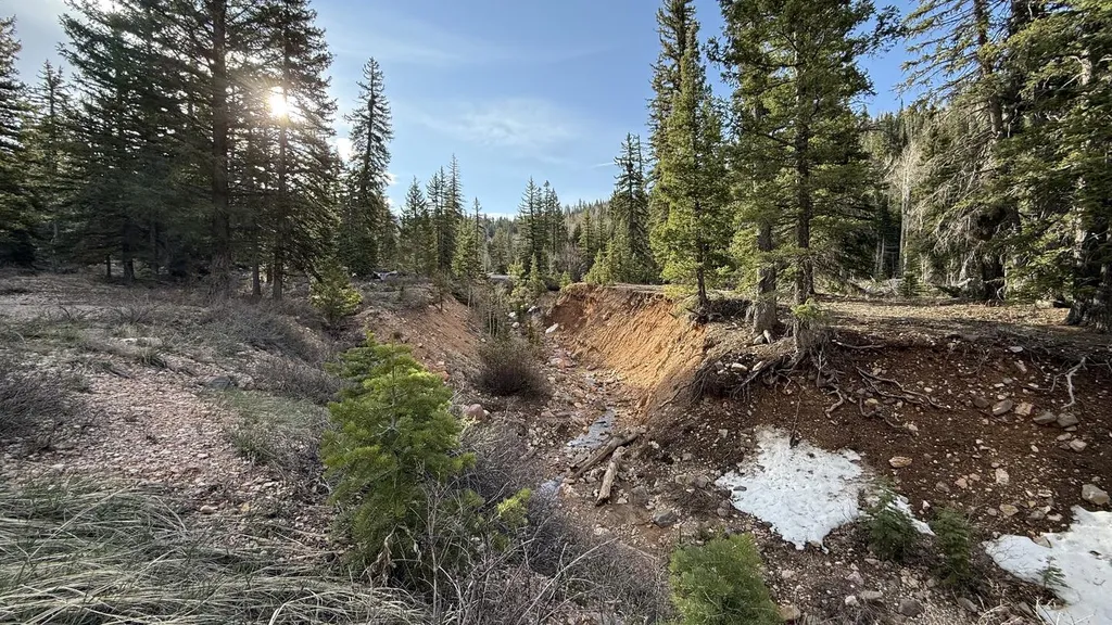 Cedar CanyonCampingPhoto: Recreation.gov (RIDB) / public domain9.9 mi
Source: Roamze catalog (indexable pages within 10 miles, PostGIS distance)
Map and trail data © OpenStreetMap contributors
