Billingsley Creek
- 2.6 mi
- round trip
- 998 ft
- climb
- 8,120 ft
- high point
- Out and back
- route
- May–Oct
- best months
Is BILLINGSLEY CREEK open right now?
Alert in the area
The Forest Service lists 3 alerts for Dixie National Forest.
Duck Creek OHV Trail Closure
Agency alert covering Dixie National Forest · Order 0407-26-11 · USFS · Dixie National Forest
Pine Valley Ranger District Area and Trail and Road Closure
Agency alert covering Dixie National Forest · Order 0407-26-01 · USFS · Dixie National Forest
Cedar City Temporary Road Closure Webster Flat Road (Order 0407-25-02)
Agency alert covering Dixie National Forest · Order 0407-25-02 · USFS · Dixie National Forest
As of · Source: USFS · Dixie National Forest. Agencies don't list every closure — check before you go.
Billingsley Creek is a moderate out-and-back hike in the Cedar City Ranger District of Dixie National Forest in southern Utah. The route starts at 7,676 feet and climbs to 8,120 feet, a total gain of 998 feet, and the round-trip distance is about 5 miles. The steepest stretch comes around the 2-mile mark, where the grade reaches about 13%. The most comfortable months are late spring and early fall. Typical averages from the Alton weather station, about 8 miles away, show May highs near 69°F and September highs near 76°F, while July averages about 85°F. That station sits roughly 1,000 feet below the hike, so temperatures on the trail run a little cooler. The hike takes about two hours. Swains Creek is less than a mile away, and Strawberry Ridge and Turkey Track Loop are each about a mile off. Cedar Canyon Campground is about 4 miles away for an overnight stay.
Local outfitters
- Thunderbird Resort19 mi away
- Zion Ponderosa Ranch Resort21 mi away
Not on Roamze yet. Their page has how to reach them.
- SWAINS CREEKHiking0.8 mi
- STRAWBERRY RIDGEHiking1 mi
- TURKEY TRACK LOOPHiking1 mi
- Cedar City Ranger DistrictLake fishing2 mi
- Cedar Canyon CampgroundCamping4 mi
- Lava Flat Designated Dispersed Camping AreaCamping4 mi
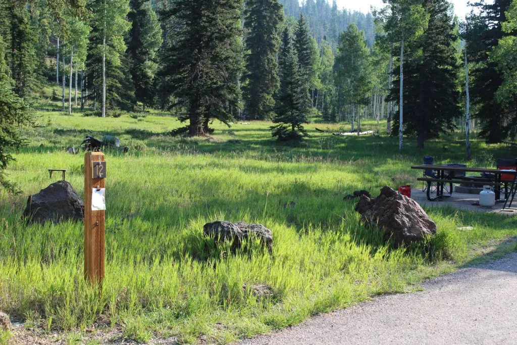 Duck CreekCampingPhoto: Recreation.gov (RIDB) / public domain4.7 mi
 Mammoth CreekCanoeingPhoto: inkknife_2000 (7.5 million views +), CC BY-SA 2.0 (via Wikimedia Commons)9.6 mi
Source: Roamze catalog (indexable pages within 10 miles, PostGIS distance)
 Aspen Mirror LakeHiking · ~7 min drivePhoto: Outdoor Rush — CC BY 2.0 (via Flickr)
- SWAINS CREEKHiking · ~1 min drive
- TURKEY TRACK LOOPHiking · ~2 min drive
- UPPER SCHOOL WASH LOOPHiking · ~8 min drive
 NAVAJO LAKE - DEEP CREEKHiking · ~13 min drivePhoto: Fredlyfish4, CC BY-SA 4.0 (via Wikimedia Commons)
- STRAWBERRY RIDGEHiking · ~2 min drive
- HARRIS RIM LOOPHiking · ~4 min drive
- Virgin River Rim Trail - Strawberry Point to Cascade FallsHiking · ~14 min drive
- Navajo Lake Loop ConnectorHiking · ~14 min drivePhoto: Fredlyfish4, CC BY-SA 4.0 (via Wikimedia Commons)
- STRAWBERRY LOOPHiking · ~8 min drive
Also worth it near here
- Cedar City Ranger DistrictLake fishing · ~3 min drive
- Duck CreekCamping · ~8 min drive
 Duck Creek Snowmobile TrailMountain biking · ~13 min drivePhoto: Ken Lund from Reno, Nevada, USA, CC BY-SA 2.0 (via Wikimedia Commons)
- Mammoth CreekCanoeing · ~17 min drivePhoto: inkknife_2000 (7.5 million views +), CC BY-SA 2.0 (via Wikimedia Commons)
Best time to visit BILLINGSLEY CREEK
Best months: May–October. Best months have typical highs of 55–85 °F, lows of 30 °F or warmer (32 °F where the station doesn't record snow), at most one snowy day and no more than 12 wet days.
Jan
41° / 18°
6 wet
Feb
43° / 19°
6 wet
Mar
52° / 24°
6 wet
Apr
60° / 29°
5 wet
May
69° / 35°
4 wet
Jun
80° / 43°
3 wet
Jul
85° / 51°
6 wet
Aug
83° / 50°
8 wet
Sep
76° / 43°
6 wet
Oct
64° / 33°
5 wet
Nov
51° / 24°
4 wet
Dec
41° / 18°
6 wet
Typical high / low (°F) and days with rain or snow, 1991–2020. Measured at Alton, UT, 7.7 mi away at 7,098 ft. The station sits about 1,000 ft lower than this place, so expect it a little cooler here. This station doesn't record snowfall. Source: NOAA NCEI U.S. Climate Normals 1991–2020.
