The Chute Group Campground
Campground
Campground · < 0.1 mi from the trail
No closures listed
The Forest Service lists no closures for Manti-La Sal National Forest.
As of · Source: USFS · Manti-La Sal National Forest. Agencies don't list every closure — check before you go.
Chute Group Campground is located in beautiful Huntington Canyon, along the Huntington Canyon National Scenic Byway on Utah Highway 31. It is situated at an elevation of 7,800 feet. Many recreational activities are available, including hiking, biking and fishing. Huntington Creek flows alongside the campground. Pine and fir trees line the edges surrounding the campground, but offer little shade within the site. The surrounding area has numerous lakes and streams, vibrant summer wildflowers, colorful fall foliage and abundant wildlife. The campground provides one large-group site that can accommodate up to 50 people. A large, gravel parking area provides ample room for RVs of any size. Site amenities include picnic tables, serving tables, benches, fire ring and Dutch oven stands. Accessible vault toilets are provided, but drinking water is not available at the campground. Potable water can be found nearby at the Stuart Guard Station. Visitors are asked to carry out all garbage. Popular activities enjoyed by visitors to the area include fishing, hunting, hiking, mountain biking, horseback riding, rock climbing and scenic driving. Huntington Creek is a Blue Ribbon fishery, providing high quality brown, cutthroat and rainbow trout. The 6-mile Left Fork of the Huntington National Recreation Trail is nearby and is open to hikers and horseback riders.
The Chute Group Campground
Campground
Jose's Cafe
Restaurant
Fairview Museum of History and Art
Museum
Places © OpenStreetMap contributors
More in Mount PleasantNot on Roamze yet. Their page has how to reach them.
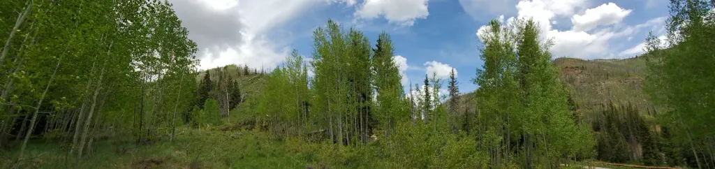 Bridges CampgroundCampingPhoto: Recreation.gov (RIDB) / public domain1.1 mi
 Chute GroupCampingPhoto: Recreation.gov (RIDB) / public domain1.3 mi
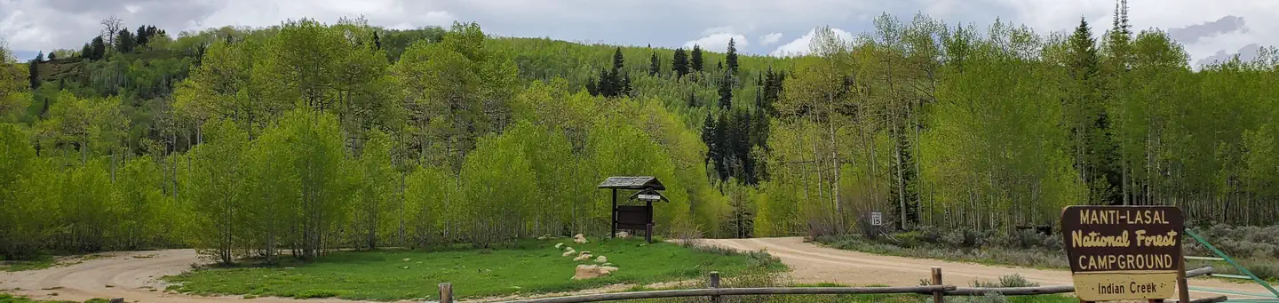 Indian CreekRiver fishing9.3 mi
Source: Roamze catalog (indexable pages within 10 miles, PostGIS distance)
Best months: June–September. Best months have typical highs of 55–85 °F, lows of 30 °F or warmer (32 °F where the station doesn't record snow), at most one snowy day and no more than 12 wet days.
Jan
27° / 4°
12 wet
Feb
30° / 3°
11 wet
Mar
38° / 10°
10 wet
Apr
43° / 18°
11 wet
May
55° / 27°
9 wet
Jun
66° / 35°
6 wet
Jul
74° / 41°
5 wet
Aug
72° / 40°
8 wet
Sep
63° / 32°
7 wet
Oct
48° / 22°
8 wet
Nov
35° / 15°
10 wet
Dec
25° / 2°
10 wet
Typical high / low (°F) and days with rain or snow, 1991–2020. Measured at Electric Lake, UT, 2.6 mi away at 8,380 ft. This station doesn't record snowfall. Source: NOAA NCEI U.S. Climate Normals 1991–2020.
