Devils Garden Campground
Campground
The next 6 weekends are full on Recreation.gov
 Photo: Chris Wonderly, Public domain (via Wikimedia Commons)
No closures listed
The National Park Service lists no closures for Arches National Park.
As of · Source: NPS · Arches National Park. Agencies don't list every closure — check before you go.
Tapestry Arch is a natural arch in Utah, 5,203 feet elevation. It is managed by the National Park Service on federal land. The access trail is Broken Arch Trail, 1.3 miles and 276 feet of elevation gain.
Devils Garden Campground
Campground
 If it rainsCarter Pape, CC BY-SA 4.0 · Wikimedia Commons
Hell's Revenge
Attraction
Places © OpenStreetMap contributors, Places © Overture Maps Foundation · Photos: Carter Pape, CC BY-SA 4.0 (commons)
More in MoabElevation from USGS 3D Elevation Program terrain data (about 10 m resolution).
 Amphitheater PathHikingPhoto: Ken Lund from Reno, Nevada, USA, CC BY-SA 2.0 (via Wikimedia Commons)0.3 mi
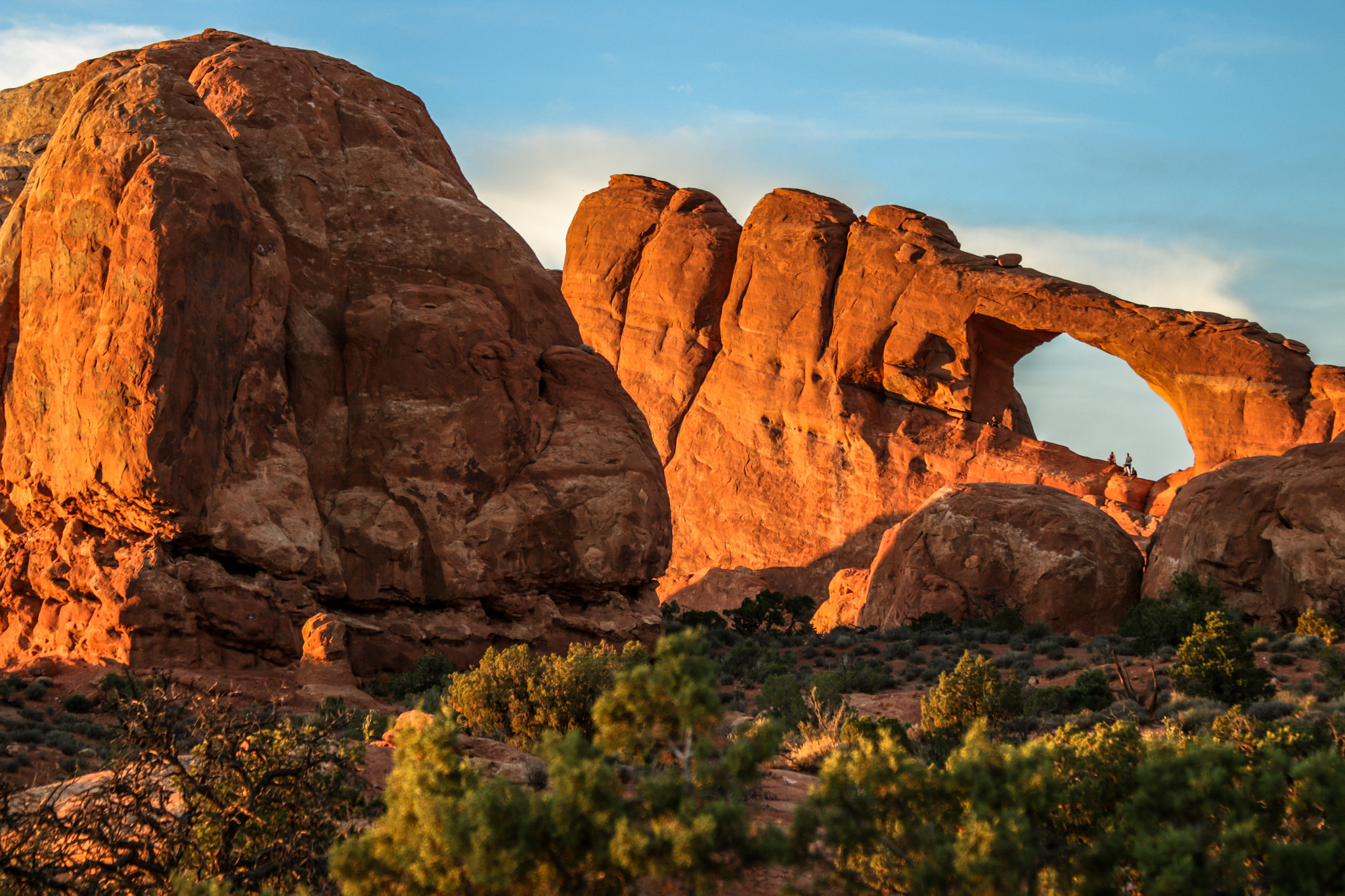 Skyline Arch TrailHikingPhoto: NPS/ Kait Thomas0.5 mi
 Broken Arch TrailHikingPhoto: Fredlyfish4, CC BY-SA 4.0 (via Wikimedia Commons)0.5 mi
 The Marching MenRock climbingPhoto: James St. John, CC BY 2.0 (via Wikimedia Commons)5.4 mi
 Arches National ParkRock climbingPhoto: inkknife_2000 (7.5 million views +), CC BY-SA 2.0 (via Wikimedia Commons)6.7 mi
 The StageRock climbingPhoto: Ken Lund from Reno, Nevada, USA, CC BY-SA 2.0 (via Wikimedia Commons)9.2 mi
Source: Roamze catalog (indexable pages within 10 miles, PostGIS distance)
 Skyline ArchNatural arch · Next doorPhoto: Thomas Wolf, www.foto-tw.de, CC BY-SA 3.0 (via Wikimedia Commons)
 Broken ArchNatural arch · ~1 min drivePhoto: SBirdsell, CC BY-SA 4.0 (via Wikimedia Commons)
 Landscape ArchNatural arch · ~3 min drivePhoto: Thomas Wolf, www.foto-tw.de, CC BY-SA 3.0 (via Wikimedia Commons)
 Black Cave ArchNatural arch · ~4 min drivePhoto: The Dye Clan, CC BY-SA 3.0 (via Wikimedia Commons)
 Delicate ArchNatural arch · ~9 min drivePhoto: W. Bulach, CC BY-SA 4.0 (via Wikimedia Commons)
 North WindowNatural arch · ~12 min drivePhoto: W. Bulach, CC BY-SA 4.0 (via Wikimedia Commons)
 Turret ArchNatural arch · ~12 min drivePhoto: W. Bulach, CC BY-SA 4.0 (via Wikimedia Commons)
 South WindowNatural arch · ~12 min drivePhoto: KimonBerlin, CC BY-SA 2.0 (via Wikimedia Commons)
Also worth it near here
Amphitheater PathHiking · Next doorPhoto: Ken Lund from Reno, Nevada, USA, CC BY-SA 2.0 (via Wikimedia Commons)The Marching MenRock climbing · ~9 min drivePhoto: James St. John, CC BY 2.0 (via Wikimedia Commons)Best months: March–May and September–October. Best months have typical highs of 55–85 °F, lows of 30 °F or warmer (32 °F where the station doesn't record snow), at most one snowy day and no more than 12 wet days.
Jan
39° / 17°
5 wet
Feb
47° / 25°
5 wet
Mar
59° / 32°
4 wet
Apr
67° / 39°
4 wet
May
78° / 48°
4 wet
Jun
90° / 58°
3 wet
Jul
96° / 66°
4 wet
Aug
92° / 63°
5 wet
Sep
83° / 53°
5 wet
Oct
68° / 40°
5 wet
Nov
52° / 27°
4 wet
Dec
39° / 17°
5 wet
Typical high / low (°F) and days with rain or snow, 1991–2020. Measured at Moab Canyonland Ap, UT, 9.3 mi away at 4,561 ft. The station sits about 600 ft lower than this place, so expect it a little cooler here. This station doesn't record snowfall. Source: NOAA NCEI U.S. Climate Normals 1991–2020.
