Sunset Resort at Medina Lake
- Oct–Apr
- best months
Sunset Resort at Medina Lake is a boat launch on Medina Lake in Texas, about 6 miles from the town of Lakehills. The land is managed by Sara and Heath Voss, and the resort serves as a put-in for boaters heading out on the lake. The most comfortable months for a visit are spring and fall. Typical averages from a nearby weather station in San Antonio show March highs around 76°F and October highs around 84°F, while summer highs climb into the 90s. For more time on the water, the Medina River offers canoeing about 9 miles away. Climbers can head to Red Bluff, a climbing area roughly 6 miles from the launch.
- Managed by
- Sara and Heath Voss
- Red BluffRock climbing6 mi
 Medina RiverCanoeingPhoto: Observer12, Public domain (via Wikimedia Commons)9.3 mi
Source: Roamze catalog (indexable pages within 10 miles, PostGIS distance)
- Medina RiverCanoeing · ~16 min drivePhoto: Observer12, Public domain (via Wikimedia Commons)
- Kayake LaunchBoat launch · ~48 min drive
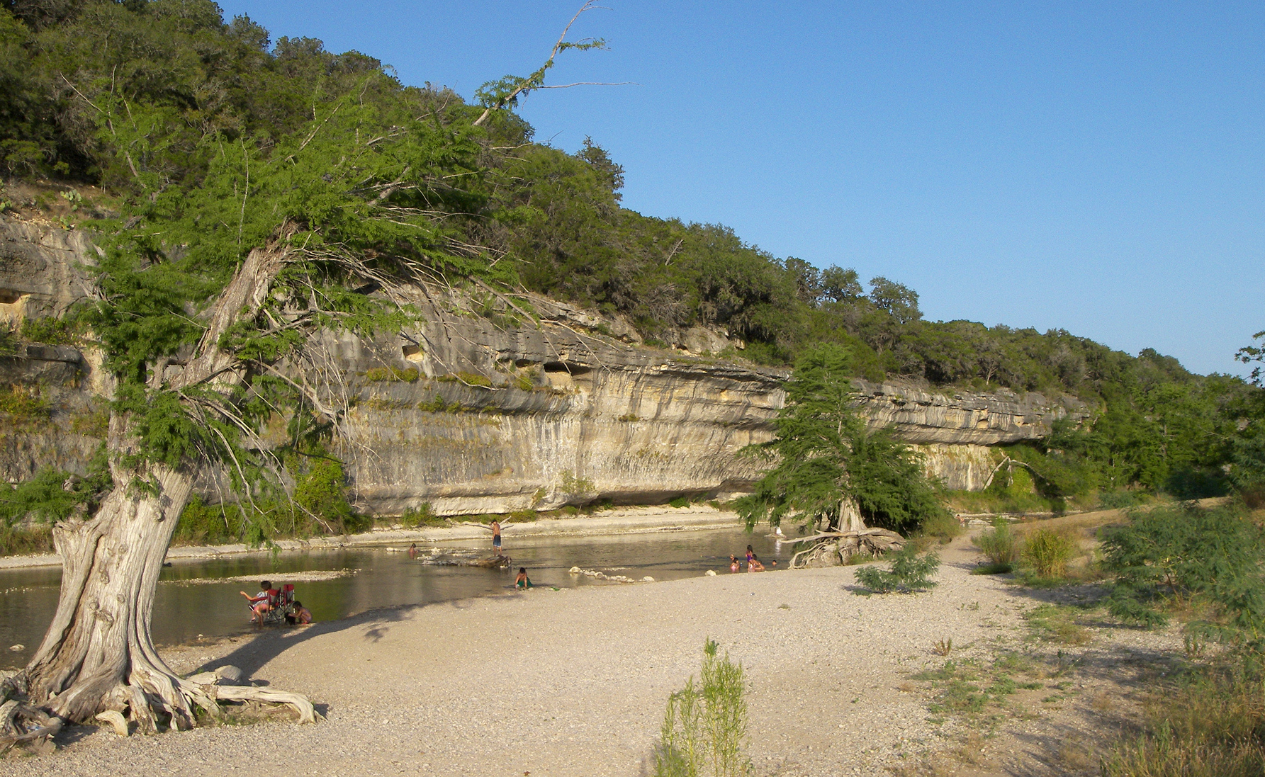 Guadalupe RiverCanoeing · ~60 min drivePhoto: Larry D. Moore, CC BY 4.0 (via Wikimedia Commons)
- North Cranes Mill-Mystic Shores Boat RampBoat launch · ~1h 19m drive
 Cibolo CreekCanoeing · ~1h 10m drivePhoto: Kevin, CC BY-SA 2.0 (via Wikimedia Commons)
- Ramp #5Boat launch · ~1h 20m drive
- Verde CreekCanoeing · ~21 min drive
- Ramp #7Boat launch · ~1h 20m drive
- Leon CreekCanoeing · ~35 min drive
- Ramp #2Boat launch · ~1h 22m drive
Best time to visit Sunset Resort at Medina Lake
Best months: October–April. Best months have typical highs of 55–85 °F, lows of 30 °F or warmer (32 °F where the station doesn't record snow), at most one snowy day and no more than 12 wet days.
Jan
65° / 43°
8 wet
Feb
70° / 46°
7 wet
Mar
76° / 53°
8 wet
Apr
83° / 59°
7 wet
May
89° / 67°
6 wet
Jun
95° / 73°
6 wet
Jul
97° / 74°
5 wet
Aug
99° / 74°
5 wet
Sep
93° / 70°
6 wet
Oct
84° / 62°
5 wet
Nov
74° / 51°
5 wet
Dec
66° / 44°
7 wet
Typical high / low (°F) and days with rain or snow, 1991–2020. Measured at San Antonio/Seaworld, TX, 15 mi away at 940 ft. Source: NOAA NCEI U.S. Climate Normals 1991–2020.
Map and trail data © OpenStreetMap contributors
