Cherry Knobs
At a glance
Cherry Knobs is a summit in Bays Mountain Park Designated State Natural Area in northeast Tennessee, about 2.3 miles from the community of Sullivan Gardens. Fall is a comfortable time to visit. October typically brings highs around 71°F and lows near 46°F, with fewer wet days than most of the year, based on averages from the nearby Kingsport weather station. That station sits roughly 900 feet lower, so temperatures on the summit run cooler. Summer is noticeably warmer, with July highs averaging about 87°F, and winter lows typically dip below freezing. The Cherry Knobs Trail starts just 0.1 mile away. The Lakeside Trail and the Orchid Trail are both within about half a mile, which makes it easy to pair the summit with other walks in the park. Climbers can head to the Bays Mountain climbing area, about a mile off.
- summit
- 2,178 ft
- way up
- 1
- best months
- Apr–Jun, Sep–Nov
Where it is: Bays Mountain Park Designated State Natural Area
Near: Kingsport
Best time to visit Cherry Knobs
Best months: April–June and September–November. Best months have typical highs of 55–85 °F, lows of 30 °F or warmer (32 °F where the station doesn't record snow), at most one snowy day and no more than 12 wet days.
Jan
46°
27°
12 wet · 1 snow
Feb
51°
30°
11 wet · 1 snow
Mar
60°
36°
13 wet
Apr
71°
45°
12 wet
May
78°
54°
12 wet
Jun
84°
62°
12 wet
Jul
87°
66°
12 wet
Aug
86°
65°
11 wet
Sep
81°
58°
8 wet
Oct
71°
46°
8 wet
Nov
59°
36°
10 wet
Dec
50°
30°
12 wet · 1 snow
Typical high / low (°F) and days with rain or snow, 1991–2020. Measured at Kingsport, TN, 5.8 mi away at 1,284 ft. The station sits about 900 ft lower than this place, so expect it a little cooler here. Source: NOAA NCEI U.S. Climate Normals 1991–2020.
Been here? Tell people how it was.
Map © Mapbox © OpenStreetMap contributors - Holston River Mountain2,403 ft · Tennessee1 route0.7 mi away
- Beaver Creek Knobs2,116 ft · Tennessee5 routes23 mi away
- Pinnacle Mountain3,525 ft · Tennessee1 route24 mi away
- Stone Mountain3,136 ft · Virginia2 routes26 mi away
- High Butte3,045 ft · Virginia1 route26 mi away
- Little Mountain4,078 ft · Virginia1 route27 mi away
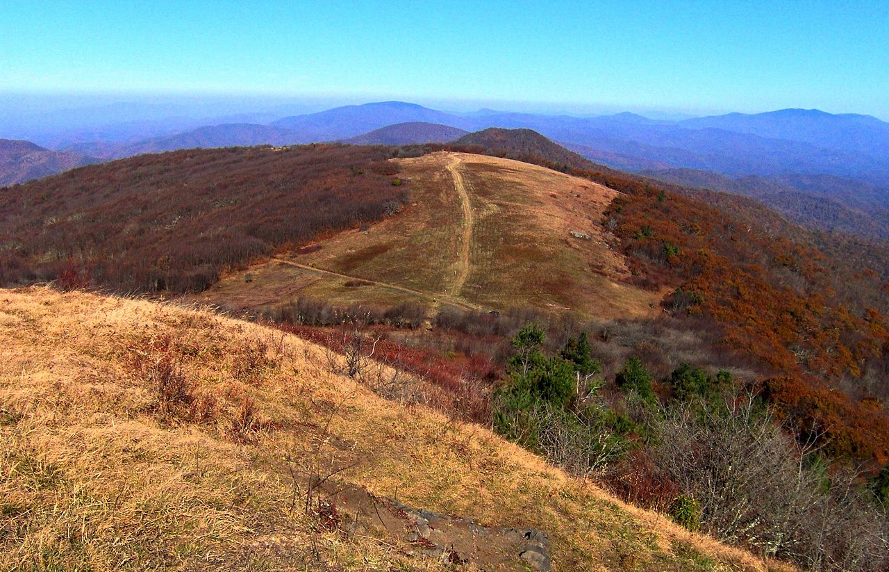 Big BaldSummitPhoto: Brian Stansberry, CC BY 3.0 (via Wikimedia Commons)~1h 2m drive
 Grassy Ridge BaldSummitPhoto: Thomson200, CC0 (via Wikimedia Commons)~1h 11m drive
 Big Yellow MountainSummitPhoto: Thomson200, CC0 (via Wikimedia Commons)~1h 14m drive
 Beech MountainSummitPhoto: Thomson200, CC0 (via Wikimedia Commons)~1h 21m drive
 Sugar MountainSummitPhoto: Mark Clifton, CC BY-SA 2.0 (via Wikimedia Commons)~1h 25m drive
 Celo KnobSummitPhoto: Thomson200, CC0 (via Wikimedia Commons)~1h 25m drive
- Holston River MountainSummit~1 min drive
- Beaver Creek KnobsSummit~40 min drive
- Pinnacle MountainSummit~42 min drive
- Stone MountainSummit~45 min drive
Conditions and forecast
Daily highs and lows, wind and the chance of precipitation at the summit and route start for the next 7 days, from the Open-Meteo model.
Questions about Cherry Knobs
How tall is Cherry Knobs?
2,178 ft (664 m).
How many routes go to the summit of Cherry Knobs?
One: Cherry Knobs Trail.

Ask about this place
Questions about Cherry Knobs: conditions, access, timing. Answers say when something isn't known.
