Meigs Creek Trail
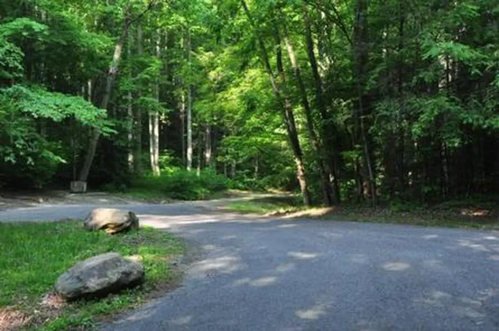
 Photo: David Dugan, CC BY-SA 3.0 (via Wikimedia Commons)
- 1.8 mi
- round trip
- 1,481 ft
- climb
- 1,973 ft
- high point
- Out and back
- route
- Sep–Nov
- best months
Is Meigs Creek Trail open right now?
Closure in the area
There's a closure order in Great Smoky Mountains National Park. It doesn't name Meigs Creek Trail, so check the source for the area it covers (4 listed).
Kuwohi Road Closed Due To Snow And Ice
Park closure covering Great Smoky Mountains National Park · NPS · Great Smoky Mountains National Park
Seasonal road closures
Park closure covering Great Smoky Mountains National Park · NPS · Great Smoky Mountains National Park
Straight Fork and the one-way section of Balsam Mountain Road closed.
Park closure covering Great Smoky Mountains National Park · NPS · Great Smoky Mountains National Park
Park Headquarters Road is closed
Park closure covering Great Smoky Mountains National Park · NPS · Great Smoky Mountains National Park
As of · Source: NPS · Great Smoky Mountains National Park. Agencies don't list every closure — check before you go.
Meigs Creek Trail is a 3.5-mile out-and-back hike in Great Smoky Mountains National Park in Tennessee, managed by the National Park Service. The trail starts at the Meigs Creek Trail Trailhead and climbs from about 1,590 feet to a high point of 1,973 feet, with a total elevation gain of 1,481 feet over the course of the round trip. The steepest stretch comes at about 1.3 miles in, where the grade reaches 21 percent. The most comfortable time to go is late spring or early fall. Typical averages from a nearby weather station in Townsend show May highs around 74°F and September highs around 77°F, with October bringing the fewest wet days of the year. The trail makes an easy pairing with other outings in the park. Curry Mountain Trail and Metcalf Bottoms Picnic Pavilion are each about a mile away, and Little Brier Gap Trail and Metcalf Bottoms Trail are both within about 1.6 miles.
Local outfitters
- GSM Outfitters4 mi away
- Hurshel's Outfitters11 mi away
Not on Roamze yet. Their page has how to reach them.
- Curry Mountain TrailHikingPhoto: David Dugan, CC BY-SA 3.0 (via Wikimedia Commons)1 mi
- Metcalf Bottoms Picnic PavilionCamping1 mi
- Little Brier Gap TrailHiking1.6 mi
- Metcalf Bottoms TrailHiking1.6 mi
 Elkmont Group CampCampingPhoto: Recreation.gov (RIDB) / public domain4.3 mi
- Appalachian ClubhouseCamping4.7 mi
- Little RiverRiver fishing4.7 mi
- Cove CreekCanoeing5.2 mi
Source: Roamze catalog (indexable pages within 10 miles, PostGIS distance)
- Meigs Creek TrailHiking · ~1 min drivePhoto: David Dugan, CC BY-SA 3.0 (via Wikimedia Commons)
- Curry Mountain TrailHiking · ~2 min drivePhoto: David Dugan, CC BY-SA 3.0 (via Wikimedia Commons)
 Laurel Falls TrailHiking · ~5 min drivePhoto: David Dugan, CC BY-SA 3.0 (via Wikimedia Commons)
- Roundtop TrailHiking · ~3 min drive
- Laurel Falls TrailHiking · ~6 min drivePhoto: David Dugan, CC BY-SA 3.0 (via Wikimedia Commons)
- Lumber Ridge TrailHiking · ~4 min drive
- Little Greenbrier TrailHiking · ~3 min drive
 Hickory Flats Quiet WalkwayHiking · ~10 min drivePhoto: David Dugan, CC BY-SA 3.0 (via Wikimedia Commons)
- Chestnut Top TrailHiking · ~5 min drive
- Buckeye TrailHiking · ~4 min drive
Best time to visit Meigs Creek Trail
Best months: September–November. Best months have typical highs of 55–85 °F, lows of 30 °F or warmer (32 °F where the station doesn't record snow), at most one snowy day and no more than 12 wet days.
Jan
47° / 26°
14 wet
Feb
51° / 29°
13 wet
Mar
59° / 34°
14 wet
Apr
69° / 43°
13 wet
May
74° / 51°
14 wet
Jun
79° / 59°
14 wet
Jul
81° / 63°
16 wet
Aug
81° / 61°
13 wet
Sep
77° / 56°
10 wet
Oct
68° / 44°
10 wet
Nov
59° / 34°
11 wet
Dec
50° / 29°
14 wet
Typical high / low (°F) and days with rain or snow, 1991–2020. Measured at Townsend 5s, TN, 7.9 mi away at 1,893 ft. This station doesn't record snowfall. Source: NOAA NCEI U.S. Climate Normals 1991–2020.

Map and trail data © OpenStreetMap contributors
