Roan Mountain State Park Campground
Campground
Campground · 1.6 mi from the trail
 Photo: Idawriter, CC BY-SA 3.0 (via Wikimedia Commons)
Closure in the area
There's a closure order in Cherokee National Forest. It doesn't name Cloudland Trail, so check the source for the area it covers.
Campsite limitations
Agency closure covering Cherokee National Forest · Order 08-04-00-22-180 · USFS · Cherokee National Forest
Emergency road closures due to storm damage
Agency alert covering Cherokee National Forest · USFS · Cherokee National Forest
Roan Mountain Fire Restrictions
Agency alert covering Watauga Ranger District · Order 08-04-06-25-001 · USFS · Watauga Ranger District
As of · Source: USFS · Cherokee National Forest. Agencies don't list every closure — check before you go.
Cloudland Trail is a short, easy loop in Tennessee's Cherokee National Forest, within the Watauga Ranger District. The trail is about half a mile long, with a high point of 2,832 feet and a low of 2,680 feet. It starts at roughly 2,706 feet, and the climb reaches a steepest grade of 17% about 0.06 miles in. The most comfortable months for a visit are typically late spring and early fall. Typical averages from a nearby weather station run from highs around 71°F in May to 74°F in September, with July the warmest at about 80°F. The trip takes about half an hour. Peg Leg Mine Trail lies just 0.1 mile away, and Chestnut Ridge Trail is about 0.7 mile off. Raven Rock Trail is roughly 1.5 miles away, and Dennis Cove Campground is about 6 miles away.
Roan Mountain State Park Campground
Campground
Dianne Borde-Sutherland-Cane Creek Pottery
Gallery
Places © OpenStreetMap contributors
More in Spruce PineNot on Roamze yet. Their page has how to reach them.
Best months: April–October. Best months have typical highs of 55–85 °F, lows of 30 °F or warmer (32 °F where the station doesn't record snow), at most one snowy day and no more than 12 wet days.
Jan
44° / 22°
Feb
48° / 25°
Mar
55° / 31°
Apr
65° / 38°
May
71° / 47°
Jun
77° / 55°
Jul
80° / 59°
Aug
78° / 58°
Sep
74° / 51°
Oct
67° / 40°
Nov
56° / 30°
Dec
48° / 25°
Typical high / low (°F) and days with rain or snow, 1991–2020. Measured at Roan Mtn 3sw, TN, 1.3 mi away at 2,923 ft. This station doesn't record snowfall. Source: NOAA NCEI U.S. Climate Normals 1991–2020.
 Photo: John Hayes (gravelboy), CC BY-SA 2.0 (via Flickr)
Grassy Ridge
~8 min drive
1.2 mi · Easy
 Photo: Dallas Krentzel, CC BY 2.0 (via Flickr)
HACK LINE TRAIL
~6 min drive
6.42-mile out-and-back hike in North Carolina with 3,241 ft elevation gain
HIKE
Chestnut Ridge Trail
~1 min drive
1.82-mile out-and-back trail in Tennessee with 1,303 ft gain.
HIKE
Appalachian Trail
~6 min drive
39.18-mile out-and-back trail in Tennessee with 7,109 ft gain/loss
 Photo: vastateparksstaff, CC BY 2.0 (via Flickr)
Cloudland
~10 min drive
A moderate 2.38-mile out-and-back trail in Tennessee perfect for hikers seeking a balanced challenge.
HIKE
LACY TRAP TRAIL
~8 min drive
11.34-mile out-and-back trail in Tennessee with 3,523 ft elevation gain.
HIKE
Fred Behrend Trail
~3 min drive
1.85-mile loop in Tennessee with 888 ft elevation gain/loss
HIKE
Appalachian Trail
~15 min drive
12.56-mile out-and-back on the Appalachian Trail in Tennessee with 4,997 ft elevation gain
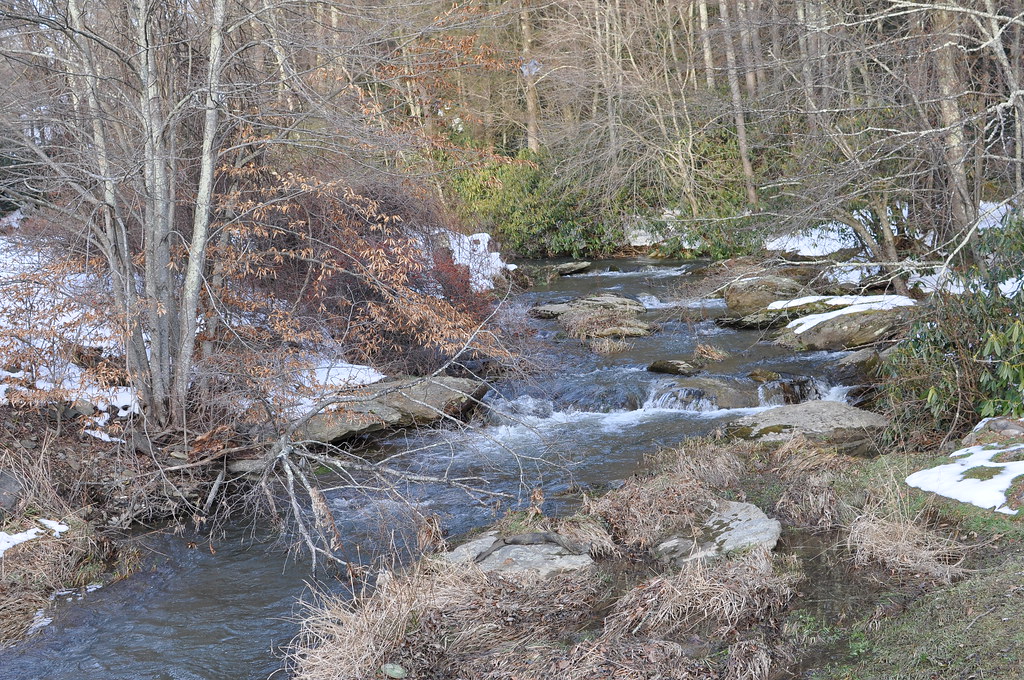 Photo: WashuOtaku, CC BY-SA 2.0 (via Flickr)
Town Trail
~18 min drive
0.8-mile out-and-back hike in North Carolina with 584 ft elevation gain.
HIKE
LITTLE POND MOUNTAIN
~12 min drive
8.58-mile out-and-back trail in Tennessee with 3,324 ft elevation gain
Map and trail data © OpenStreetMap contributors


