Appalachian Trail
- 5.2 mi
- round trip
- 3,211 ft
- climb
- 3,584 ft
- high point
- Out and back
- route
- Sep–Oct
- best months
Is Appalachian Trail open right now?
Closure in the area
There's a closure order in Cherokee National Forest. It doesn't name Appalachian Trail, so check the source for the area it covers (3 listed).
Ocoee River Flooding Damage - Nov 5
Agency closure covering Cherokee National Forest · USFS · Cherokee National Forest
Campsite limitations
Agency closure covering Cherokee National Forest · Order 08-04-00-22-180 · USFS · Cherokee National Forest
List of trail closures post-Hurricane Helene
Park closure covering Appalachian National Scenic Trail · NPS · Appalachian National Scenic Trail
Black Bears Frequenting the McAfee Knob Area in Virginia
Park alert covering Appalachian National Scenic Trail · NPS · Appalachian National Scenic Trail
Emergency road closures due to storm damage
Agency alert covering Cherokee National Forest · USFS · Cherokee National Forest
As of · Source: USFS · Cherokee National Forest. Agencies don't list every closure — check before you go.
This is a 10.4-mile out-and-back section of the Appalachian National Scenic Trail in Tennessee, set within the Big Laurel Branch Wilderness and the Watauga Ranger District of Cherokee National Forest. The route crosses into the Appalachian Trail's own national scenic trail unit, and the Forest Service manages the land. The trail starts at about 3,573 feet and climbs to a high point of 3,584 feet, with a total gain of 3,211 feet over the course of the round trip. The steepest stretch comes at about 3.4 miles in, where the grade reaches 41 percent. The climb is hard, and the trip takes about five hours. For comfortable weather, aim for late spring or early fall. Typical averages from a nearby weather station show May highs around 70°F and September highs around 73°F, with September also seeing the fewest wet days of the year. Watauga Lake is about 2.2 miles away, and the Pond Mountain Wilderness Trail is about 3.4 miles off. For an overnight base, Cardens Bluff Campground sits about 4.7 miles away, and Dennis Cove Campground is about 7.8 miles away.
Local outfitters
- Price Lake Boat Rentals24 mi away
- Damascus Outfitters24 mi away
Not on Roamze yet. Their page has how to reach them.
- Watauga LakeLake fishing2.2 mi
- POND MOUNTAIN WILDERNESS TRAILHiking3.4 mi
- Taylor Ridge Extension TrailHiking3.8 mi
- Watauga RiverRiver fishing3.9 mi
- Taylor Ridge TrailHiking4 mi
- Cardens Bluff CgCamping4.7 mi
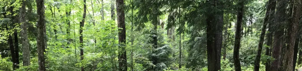 Dennis Cove CampgroundCampingPhoto: Recreation.gov (RIDB) / public domain7.8 mi
- Humble Pie BoulderRock climbing9.7 mi
Source: Roamze catalog (indexable pages within 10 miles, PostGIS distance)
- POND MOUNTAIN WILDERNESS TRAILHiking · ~6 min drive
- Taylor Ridge Extension TrailHiking · ~7 min drive
- Taylor Ridge TrailHiking · ~7 min drive
- Chestnut Flats TrailHiking · ~7 min drive
- Appalachian TrailHiking · ~10 min drive
- CARDENS BLUFF HIKING TRAILHiking · ~8 min drive
- Rye Patch TrailHiking · ~9 min drive
- Appalachian TrailHiking · ~8 min drive
- HOLSTON MOUNTAIN TRAILHiking · ~11 min drive
- OLD HOMESTEAD TRAILHiking · ~9 min drive
Best time to visit Appalachian Trail
Best months: September–October. Best months have typical highs of 55–85 °F, lows of 30 °F or warmer (32 °F where the station doesn't record snow), at most one snowy day and no more than 12 wet days.
Jan
41° / 24°
17 wet
Feb
44° / 27°
15 wet
Mar
52° / 33°
15 wet
Apr
62° / 42°
14 wet
May
70° / 50°
16 wet
Jun
75° / 58°
14 wet
Jul
79° / 61°
15 wet
Aug
78° / 60°
14 wet
Sep
73° / 54°
11 wet
Oct
64° / 44°
11 wet
Nov
53° / 35°
12 wet
Dec
46° / 28°
16 wet
Typical high / low (°F) and days with rain or snow, 1991–2020. Measured at Flat Springs 1e, NC, 11.3 mi away at 3,330 ft. This station doesn't record snowfall. Source: NOAA NCEI U.S. Climate Normals 1991–2020.
Map and trail data © OpenStreetMap contributors
