Bear Butte
 Photo: JERRYE & ROY KLOTZ MD, CC BY-SA 3.0 (via Wikimedia Commons)
- 4,428 ft
- summit
- Apr–Jun, Sep–Oct
- best months
Bear Butte is a summit of 4,428 feet in South Dakota, about 6 miles from the town of Sturgis. It sits within the South Dakota Wildland Fire land unit, and the Centennial Trail begins right beside it, at a distance of about a tenth of a mile. Summer is the warmest stretch to visit. Typical averages from the nearby Ft Meade weather station, which sits roughly 1,100 feet lower, show July and August highs around 86°F with lows in the upper 50s. Winters are cold, with January highs near 38°F and lows around 15°F. Other outings close by include Bear Butte Creek, about 3 miles away, and Lower Deadman, a mountain biking spot about 7.5 miles off. The Centennial on Northern Hills hike is about 7.7 miles away.
Conditions and forecast
Daily highs and lows, wind and the chance of precipitation at the summit for the next 7 days, from the Open-Meteo model.
- Summit elevation
- 4,428 ft
Elevation from USGS 3D Elevation Program terrain data (about 10 m resolution).
We don't know of a mapped trail or route to the summit of Bear Butte. Plan the approach with local maps, a guidebook or a local guide, and check conditions before you go.
Questions about Bear Butte
How tall is Bear Butte?
4,428 ft (1,350 m).
Is there a trail to the top of Bear Butte?
We don't know of a mapped trail or route to the summit. Plan the approach with local maps, a guidebook or a local guide.
 Mount Theodore Roosevelt5,682 ft · South Dakota1 route17 mi awayPhoto: U.S. Department of Agriculture, CC BY 2.0 (via Wikimedia Commons)
- Crow Peak5,778 ft · South Dakota1 route27 mi away
- Boulder Hill5,329 ft · South Dakota1 route35 mi away
 Black Elk Peak7,229 ft · South Dakota1 route42 mi awayPhoto: BHrock at English Wikipedia, Public domain (via Wikimedia Commons)
- Sheep Mountain5,827 ft · Wyoming1 route47 mi away
- Centennial TrailHiking0.1 mi
- Bear Butte CreekCanoeing3.2 mi
- Lower DeadmanMountain biking7.5 mi
- Centennial on Northern HillsHiking7.7 mi
Source: Roamze catalog (indexable pages within 10 miles, PostGIS distance)
 Castle Rock ButteSummit · ~1h 3m drivePhoto: Scarpy, CC BY-SA 4.0 (via Wikimedia Commons)
- Black Elk PeakSummit · ~1h 13m drivePhoto: BHrock at English Wikipedia, Public domain (via Wikimedia Commons)
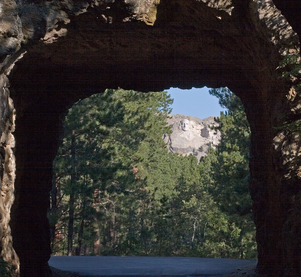 Iron MountainSummit · ~1h 13m drivePhoto: Kimon Berlin, user:Gribeco, CC BY 2.5 (via Wikimedia Commons)
 Sundance MountainSummit · ~1h 21m drivePhoto: James St. John, CC BY 2.0 (via Wikimedia Commons)
- Mount Theodore RooseveltSummit · ~30 min drivePhoto: U.S. Department of Agriculture, CC BY 2.0 (via Wikimedia Commons)
 Inyan Kara MountainSummit · ~1h 24m drivePhoto: User:Runner1928, CC0 (via Wikimedia Commons)
- Crow PeakSummit · ~45 min drive
- Old Baldy MountainSummit · ~52 min drive
- Boulder HillSummit · ~1h 1m drive
- Sheep MountainSummit · ~1h 21m drive
Best time to visit Bear Butte
Best months: April–June and September–October. Best months have typical highs of 55–85 °F, lows of 30 °F or warmer (32 °F where the station doesn't record snow), at most one snowy day and no more than 12 wet days.
Jan
38° / 15°
6 wet · 4 snow
Feb
39° / 16°
6 wet · 3 snow
Mar
49° / 25°
7 wet · 2 snow
Apr
58° / 34°
9 wet · 1 snow
May
67° / 44°
12 wet
Jun
78° / 53°
12 wet
Jul
86° / 60°
9 wet
Aug
86° / 58°
7 wet
Sep
77° / 49°
7 wet
Oct
61° / 36°
7 wet · 1 snow
Nov
48° / 25°
6 wet · 2 snow
Dec
39° / 17°
5 wet · 3 snow
Typical high / low (°F) and days with rain or snow, 1991–2020. Measured at Ft Meade, SD, 5.1 mi away at 3,308 ft. The station sits about 1,100 ft lower than this place, so expect it a little cooler here. Source: NOAA NCEI U.S. Climate Normals 1991–2020.
