Grizzly Bear Campground
Campground
Campground · 0.2 mi from the trail
Alert in the area
The Forest Service lists 5 alerts for Black Hills National Forest.
Pactola North Boat Ramp Closure
Agency alert covering Black Hills National Forest · USFS · Black Hills National Forest
14-day Limit for Camping/Occupancy in the Black Hills National Forest
Agency alert covering Black Hills National Forest · USFS · Black Hills National Forest
Topaz timber sale near Sturgis, SD Continues Operations
Agency alert covering Black Hills National Forest · USFS · Black Hills National Forest
Hwy 385 Construction Updates
Agency alert covering Black Hills National Forest · USFS · Black Hills National Forest
Open Fire Restriction - Black Hills NF in South Dakota
Agency alert covering Black Hills National Forest · USFS · Black Hills National Forest
As of · Source: USFS · Black Hills National Forest. Agencies don't list every closure — check before you go.
The Butcher Shop is a bouldering area in the Hell Canyon Ranger District of South Dakota's Black Hills National Forest, managed by the Forest Service. It sits among a cluster of climbing spots, with the 1st Pigtail Bridge Boulders and Little Miss Piggy Boulder each about 0.1 mile away. Grizzly Bear Campground is just 0.2 mile off, making it the closest place to camp. The area's five boulder problems sit in the V2 to V4 range, with V3 as the median grade. The Squealer is the easiest at V2-, and Half Rack and The Meat Grinder are the hardest at V4. Mary Bjorklund first climbed The Squealer and The Meat Grinder. Summer is the warmest stretch for a visit. Typical averages from a nearby weather station at Mt Rushmore put July highs around 79°F with lows near 59°F, while winter highs stay near 37°F. The station sits about 590 feet lower than the boulders, so temperatures at the crag run a little cooler. Other nearby spots include the Blackberry Trail about a mile away, Lakota Lake at roughly 2.6 miles, and Horsethief Lake Campground at about 2.7 miles.
Grizzly Bear Campground
Campground
Sculptor's Studio
Museum
Places © OpenStreetMap contributors
More in Custer Grizzly Bear CampgroundCampingPhoto: KimonBerlin, CC BY-SA 2.0 (via Wikimedia Commons)0.2 mi
 Blackberry TrailHikingPhoto: hakkun, CC BY-SA 3.0 (via Wikimedia Commons)1.2 mi
Source: Roamze catalog (indexable pages within 10 miles, PostGIS distance)
 Waylon WallRock climbing · ~1 min drivePhoto: Eric Friedebach, CC BY 3.0 (via Wikimedia Commons)
 The Woodshop BoulderRock climbing · ~1 min drivePhoto: KimonBerlin, CC BY-SA 2.0 (via Wikimedia Commons)SledgehammerRock climbing · ~2 min drivePhoto: KimonBerlin, CC BY-SA 2.0 (via Wikimedia Commons)Elysium BoulderingRock climbing · ~2 min drivePhoto: KimonBerlin, CC BY-SA 2.0 (via Wikimedia Commons)
Also worth it near here
Grizzly Bear CampgroundCamping · Next doorPhoto: KimonBerlin, CC BY-SA 2.0 (via Wikimedia Commons)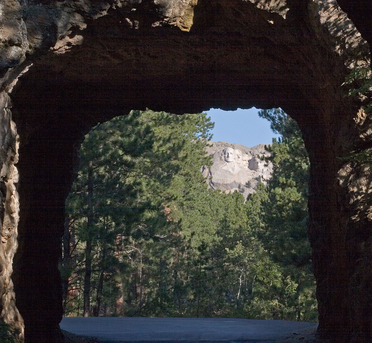 Iron MountainSummit · ~2 min drivePhoto: Kimon Berlin, user:Gribeco, CC BY 2.5 (via Wikimedia Commons)Blackberry TrailHiking · ~2 min drivePhoto: hakkun, CC BY-SA 3.0 (via Wikimedia Commons)
Best months: July–October. Best months have typical highs of 55–85 °F, lows of 30 °F or warmer (32 °F where the station doesn't record snow), at most one snowy day and no more than 12 wet days.
Jan
37° / 19°
5 wet
Feb
36° / 18°
6 wet
Mar
44° / 25°
7 wet
Apr
50° / 32°
9 wet
May
60° / 41°
14 wet
Jun
71° / 52°
14 wet
Jul
79° / 59°
12 wet
Aug
77° / 58°
10 wet
Sep
69° / 50°
8 wet
Oct
55° / 37°
7 wet
Nov
44° / 27°
5 wet
Dec
37° / 20°
5 wet
Typical high / low (°F) and days with rain or snow, 1991–2020. Measured at Mt Rushmore Nmem, SD, 1 mi away at 5,311 ft. The station sits about 600 ft higher than this place, so expect it a little warmer here. This station doesn't record snowfall. Source: NOAA NCEI U.S. Climate Normals 1991–2020.
