Ward Gulch
- 1.4 mi
- round trip
- 849 ft
- climb
- 3,840 ft
- high point
- Out and back
- route
- May–Jun, Sep–Oct
- best months
Is Ward Gulch open right now?
Closure in the area
There's a closure order in Custer Gallatin National Forest. It doesn't name Ward Gulch, so check the source for the area it covers (14 listed).
NFSR #1700 South Plateau Road Closure
Agency closure covering Custer Gallatin National Forest · USFS · Custer Gallatin National Forest
Road #3138 Partial Closure Sioux Ranger District
Agency closure covering Sioux Ranger District · Order 01-11-83-26-01 · USFS · Sioux Ranger District
Hyalite Porcupine Buffalo Horn Summer Interim Travel Order and Map and Order # 01-11-00-26-02
Agency closure covering Custer Gallatin National Forest · Order 01-11-00-26-02 · USFS · Custer Gallatin National Forest
Hyalite Porcupine Buffalo Horn Winter Interim Travel Order and Map Order Number: #01-11-00-26-01
Agency closure covering Custer Gallatin National Forest · USFS · Custer Gallatin National Forest
Glacier Lake Road #2421 Closure Order Number: # 01-11-82-26- 01
Agency closure covering Custer Gallatin National Forest · Order 01-11-82-26- · USFS · Custer Gallatin National Forest
As of · Source: USFS · Custer Gallatin National Forest. Agencies don't list every closure — check before you go.
Ward Gulch is an easy out-and-back hike in South Dakota's Custer Gallatin National Forest, within the Sioux Ranger District. The trail is about 2.7 miles long, with a total climb of roughly 850 feet over the round trip. The high point is about 3,840 feet, and the steepest stretch comes at about 0.6 miles in, where the grade reaches about 13 percent. The climb starts from a high point of about 3,837 feet, so the route is as much about the descent as the ascent. Bikes and horses are both allowed. For comfortable weather, aim for late spring or early fall. Typical averages from the Camp Crook, SD weather station show May highs near 69°F and September highs near 78°F, though that station sits well below the trail, so temperatures on the route run cooler. The hike takes about 1.5 hours. The nearest neighbor is 3111 Box Springs, a hike about 1.6 miles away.
Source: Roamze catalog (indexable pages within 10 miles, PostGIS distance)
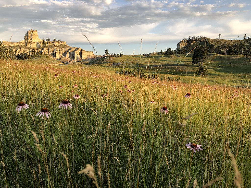 Wickham Gulch Trail #3049Hiking · ~38 min drivePhoto: Forest Service - Northern Region, Public Domain Mark (via Flickr)
- 3111 Box SpringsHiking · ~3 min drive
- Pot Hole Trail #3090Hiking · ~45 min drive
- Devils Canyon Trail #3059Hiking · ~54 min drive
- 31504-AHiking · ~49 min drive
- Bell Tower Divide Trail #3040Hiking · ~49 min drive
- Dead Horse Divide Trail #3058AHiking · ~56 min drive
- Maverick CrHiking · ~52 min drive
- Maverick Creek Trail #3036Hiking · ~50 min drive
- Iron Spring Trail #3062Hiking · ~1h 4m drive
Best time to visit Ward Gulch
Best months: May–June and September–October. Best months have typical highs of 55–85 °F, lows of 30 °F or warmer (32 °F where the station doesn't record snow), at most one snowy day and no more than 12 wet days.
Jan
34° / 10°
5 wet
Feb
37° / 13°
5 wet
Mar
48° / 22°
6 wet
Apr
58° / 31°
7 wet
May
69° / 42°
10 wet
Jun
79° / 51°
11 wet
Jul
88° / 57°
9 wet
Aug
88° / 55°
7 wet
Sep
78° / 45°
6 wet
Oct
61° / 33°
6 wet
Nov
46° / 22°
5 wet
Dec
35° / 13°
5 wet
Typical high / low (°F) and days with rain or snow, 1991–2020. Measured at Camp Crook, SD, 17.5 mi away at 3,120 ft. The station sits about 700 ft lower than this place, so expect it a little cooler here. This station doesn't record snowfall. Source: NOAA NCEI U.S. Climate Normals 1991–2020.

