Elk Mountain Campground
Campground
Campground · 2.1 mi from the trail
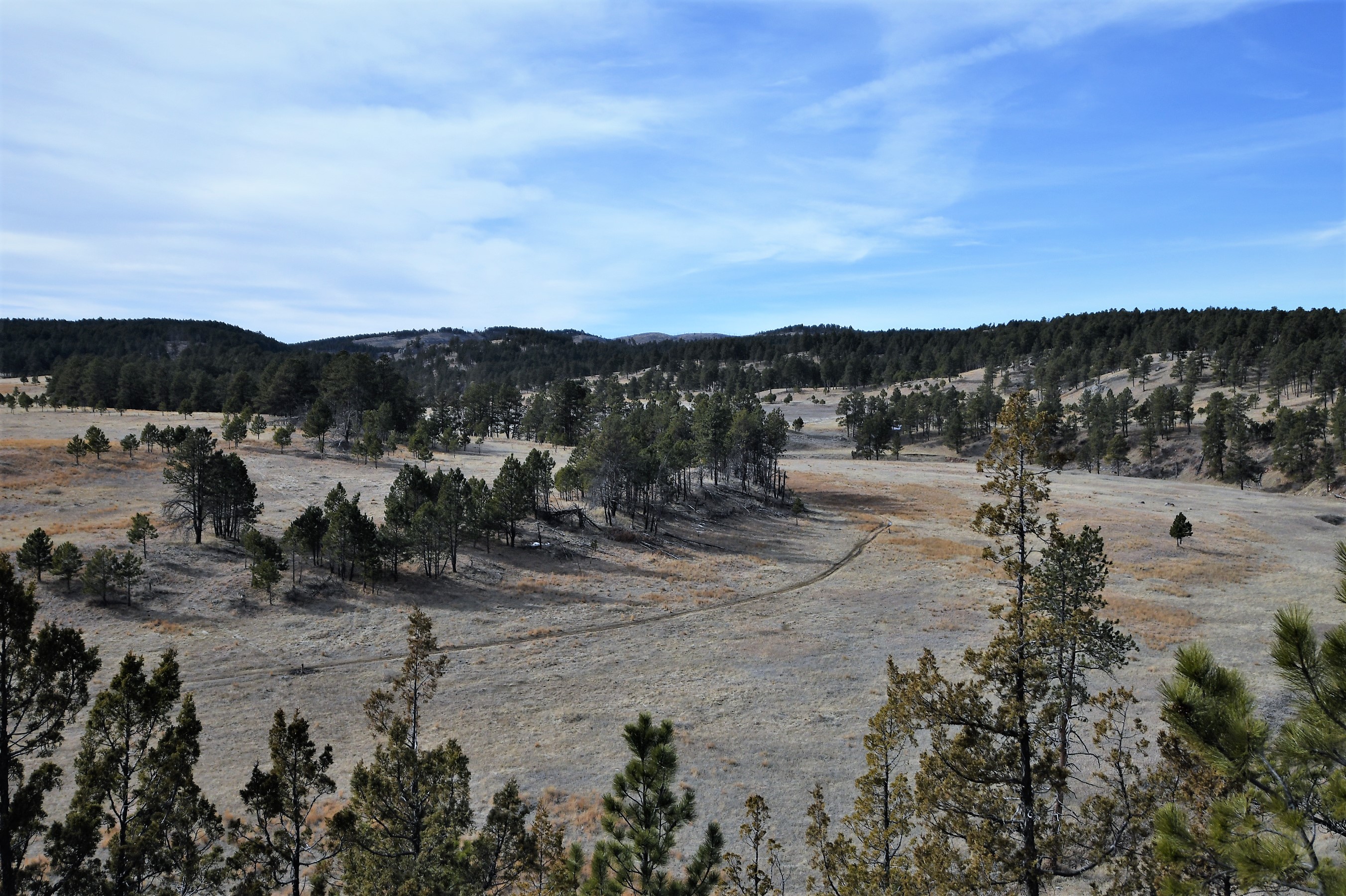
No closures listed
The National Park Service lists no closures for Wind Cave National Park.
As of · Source: NPS · Wind Cave National Park. Agencies don't list every closure — check before you go.
Cold Brook Canyon Trail is an easy out-and-back hike in Wind Cave National Park in South Dakota, managed by the National Park Service. The trail is about 1.4 miles long, and the round trip covers roughly 2.8 miles with a total elevation gain of about 464 feet. The route starts near 4,244 feet and reaches a high point of about 4,246 feet, so the climb is steady and the grade is gentle for most of the way. The steepest stretch comes early, around 0.18 miles from the start, where the grade reaches about 14 percent. The trail is short enough to fit into a single afternoon, and the estimated time for the round trip is about an hour. Summer is the most comfortable time to go. Typical averages from a nearby weather station at Wind Cave show July highs around 85°F with lows near 57°F, while September cools to highs around 76°F. Winters are cold, with January highs near 40°F and lows around 15°F. Several other trails sit close by. East Bison Flats Trail is about 1.4 miles away, Prairie Vista Nature Trail is about 1.8 miles away, and Wind Cave Canyon Trail is about 2.1 miles away. Climbers can find the Southern Black Hills climbing area about 8 miles off.
Elk Mountain Campground
Campground
Pringle Mercantile
American restaurant
Big Rock Lookout
Viewpoint
Places © OpenStreetMap contributors, Places © Overture Maps Foundation
More in Custer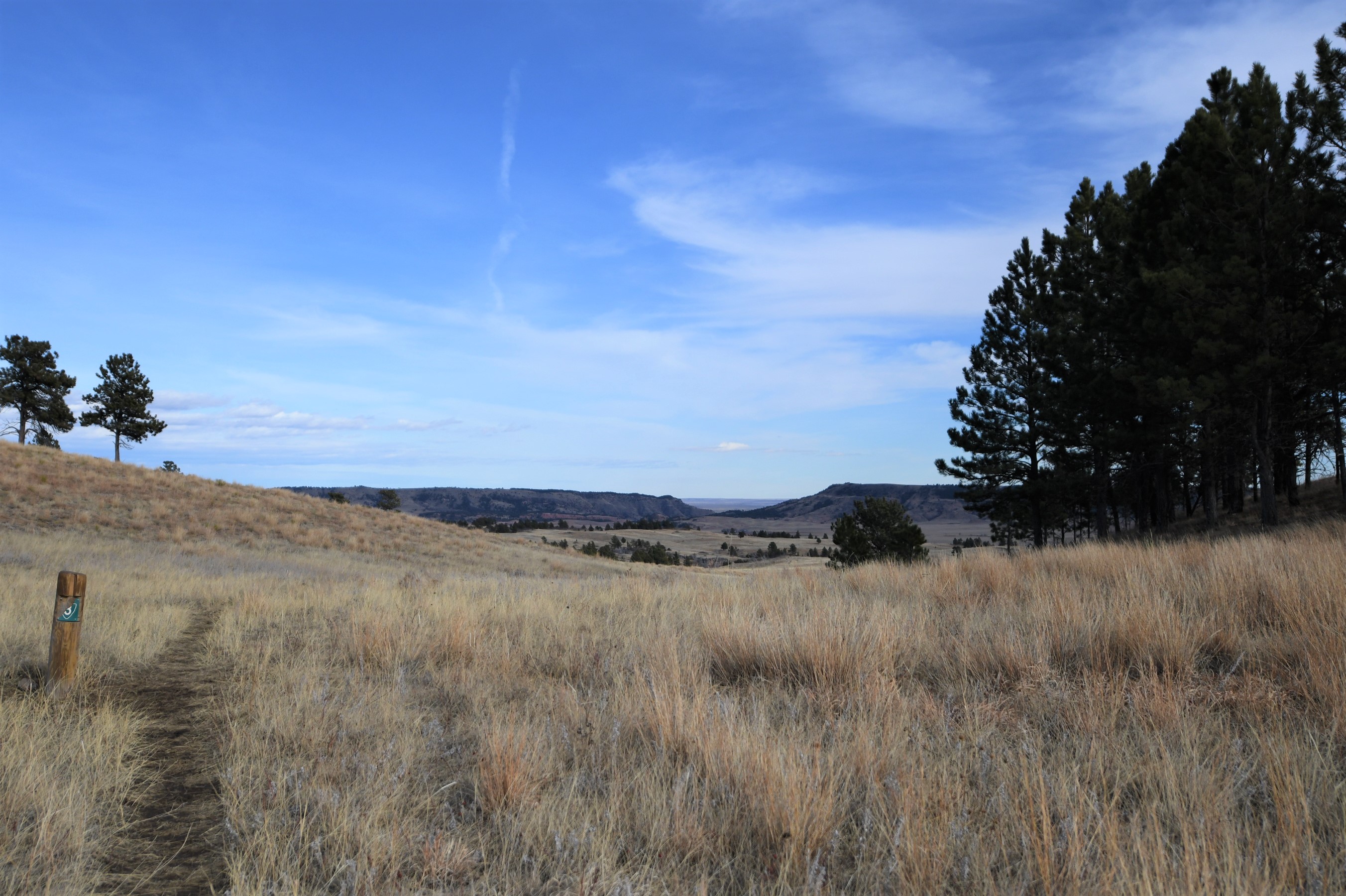 East Bison Flats TrailHiking1.4 mi
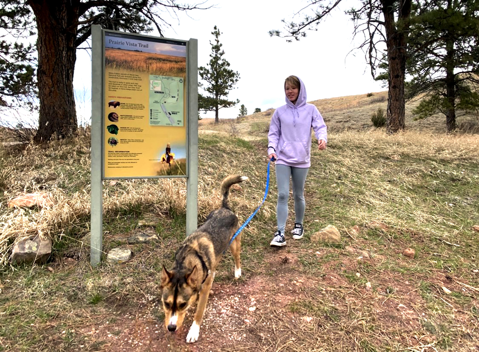 Prairie Vista Nature TrailHiking1.8 mi
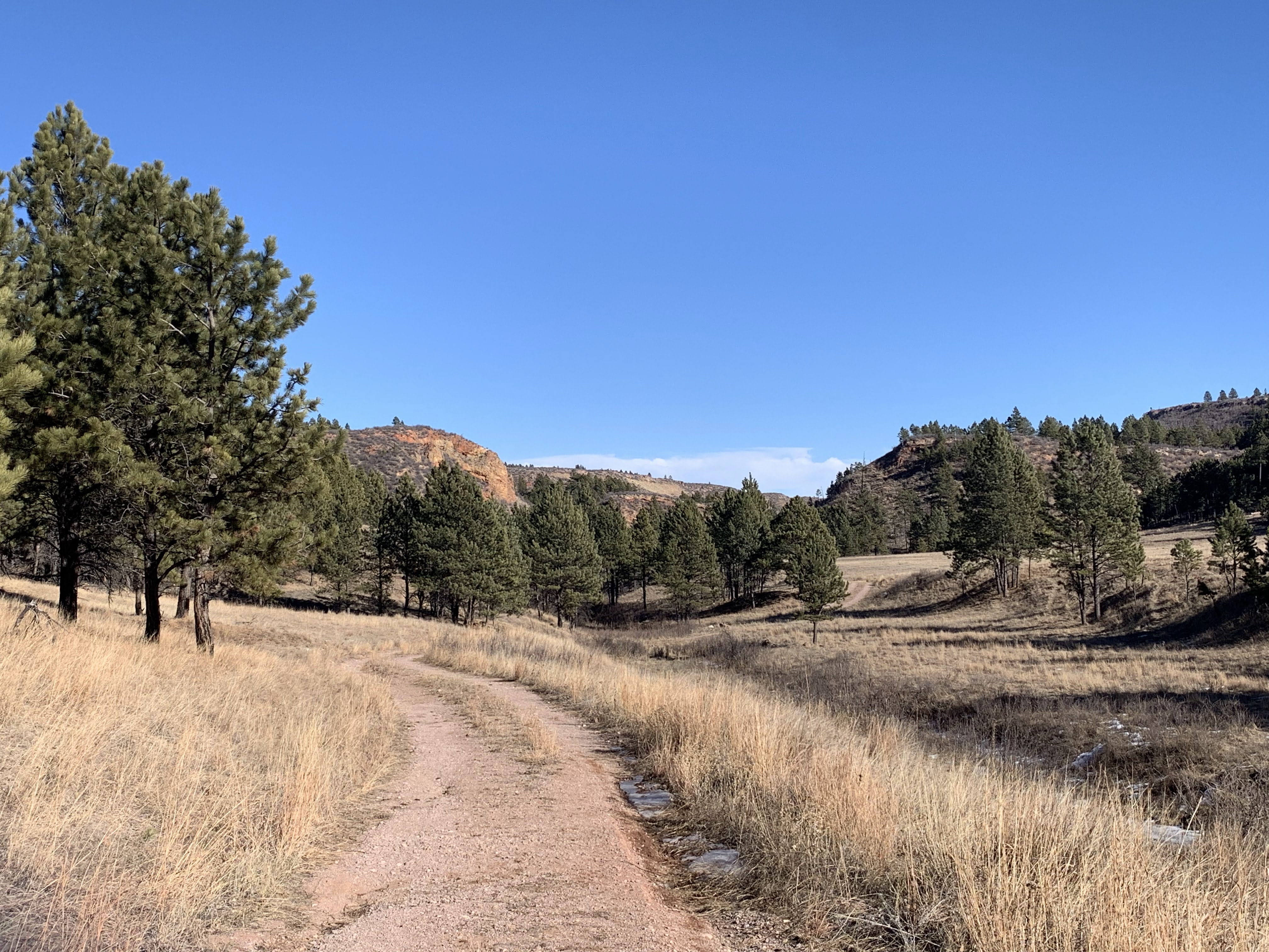 Wind Cave Canyon TrailHiking2.1 mi
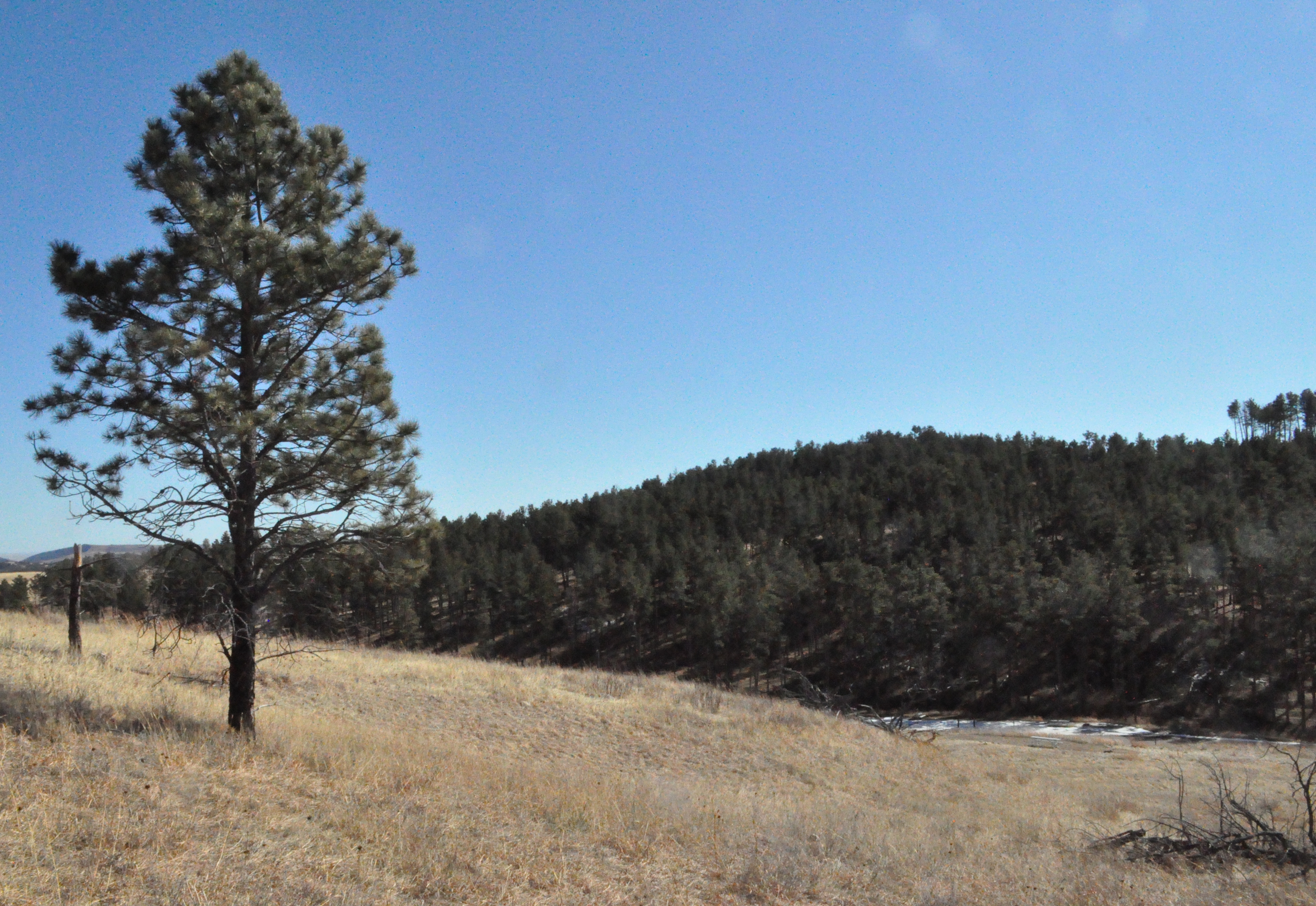 Elk Mountain Nature TrailHiking2.1 mi
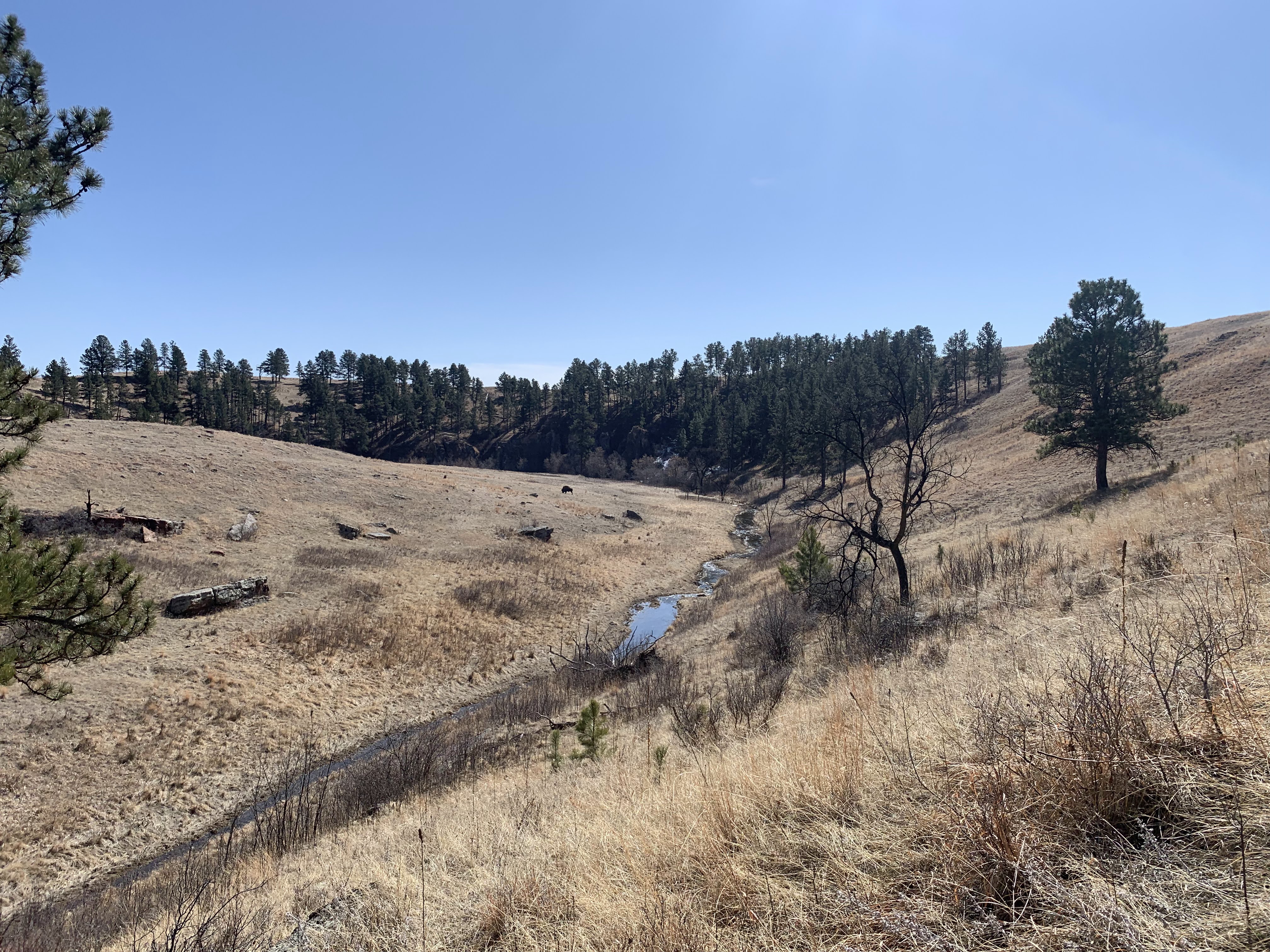 Lookout Point TrailHiking3.3 mi
 Rankin Ridge TrailHikingPhoto: Magicpiano, CC BY-SA 4.0 (via Wikimedia Commons)6.1 mi
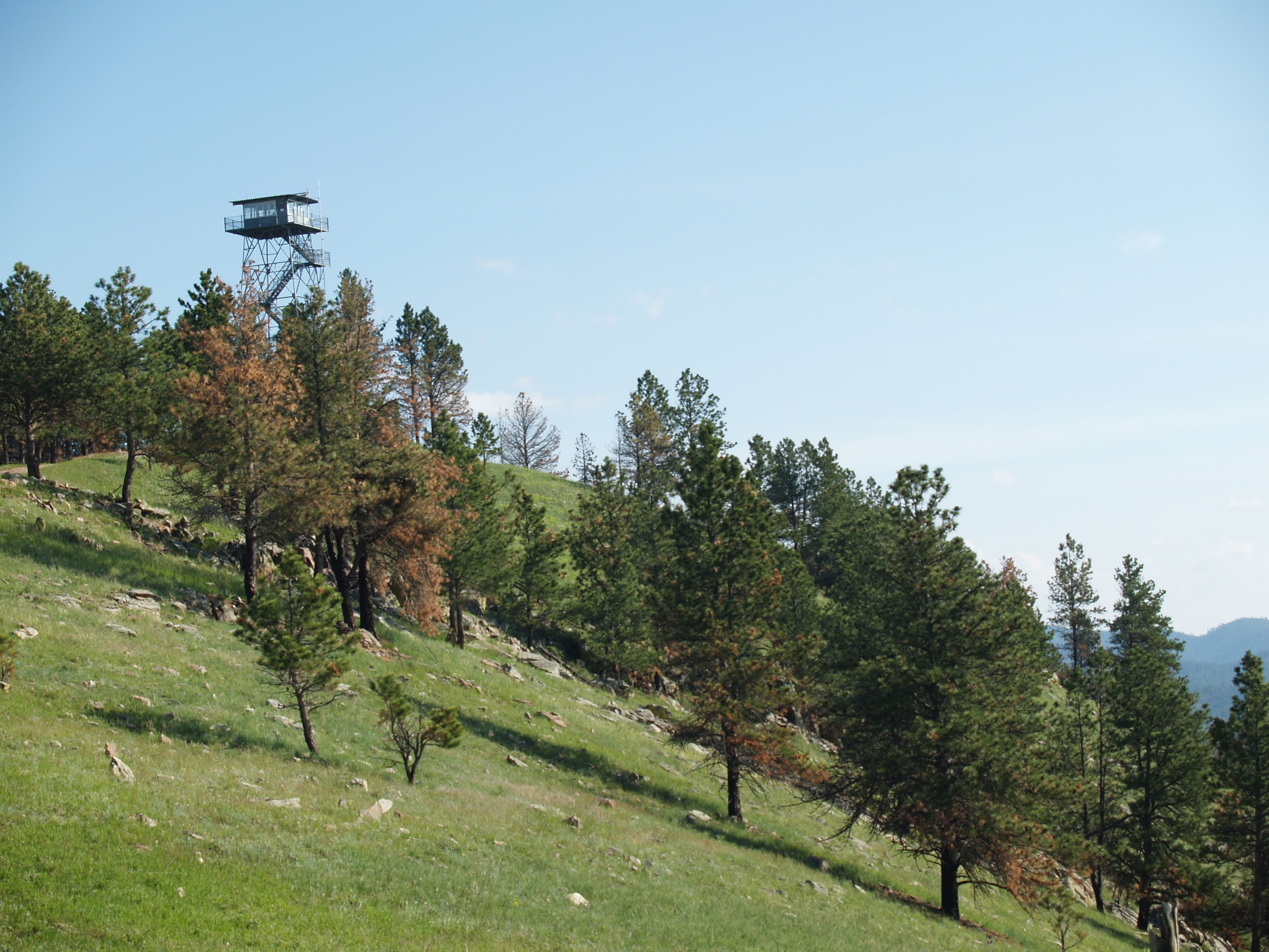 Rankin Ridge Nature TrailHiking6.1 mi
Source: Roamze catalog (indexable pages within 10 miles, PostGIS distance)
 Legion Lake TrailHiking · ~28 min drivePhoto: Jennifer L. Sovanski from United States of America. Cropped and color-corrected by Daniel Case prior to upload, CC BY 2.0 (via Wikimedia Commons)
Also worth it near here
Best months: May–October. Best months have typical highs of 55–85 °F, lows of 30 °F or warmer (32 °F where the station doesn't record snow), at most one snowy day and no more than 12 wet days.
Jan
40° / 15°
5 wet
Feb
41° / 16°
5 wet
Mar
50° / 24°
6 wet
Apr
58° / 31°
9 wet
May
66° / 41°
11 wet
Jun
77° / 50°
11 wet
Jul
85° / 57°
10 wet
Aug
84° / 55°
8 wet
Sep
76° / 46°
7 wet
Oct
61° / 34°
6 wet
Nov
48° / 23°
4 wet
Dec
39° / 15°
4 wet
Typical high / low (°F) and days with rain or snow, 1991–2020. Measured at Wind Cave, SD, 1.7 mi away at 4,155 ft. This station doesn't record snowfall. Source: NOAA NCEI U.S. Climate Normals 1991–2020.


