Orchard Lake Campground
Campground
Campground · 11 mi from the trail
South Pacolet River is a 9.9-mile paddling stretch near Landrum, South Carolina, about 1.5 miles from the town of Ingleside. It is an intermittent waterway, and it may run dry in some seasons. USGS models an average flow of about 116 cubic feet per second and a gradient of about 12.9 feet per mile. Spring and fall are the most comfortable times to paddle. Typical averages from a nearby weather station in Tryon, North Carolina, show October highs around 70°F with lows near 51°F, and April is similar at about 70°F by day and 49°F at night. Summer is warmer and wetter, with July highs averaging about 86°F. Several trails lie within a short drive. Chestnut Ridge Trail is about 5.6 miles away, and Palmetto Trail - Blue Wall Passage and Waterfall Trail are each about 6.2 miles off. Climbers can find East Cliff across the state line in North Carolina, about 7.4 miles away.
Orchard Lake Campground
Campground
Big Glenn's Grill
Soul food
 If it rainsP. Hughes, CC BY 4.0 · Wikimedia Commons
Landrum Depot
Museum
Former train station in Landrum, South Carolina, U.S.A.
Places © OpenStreetMap contributors, Places © Overture Maps Foundation · Photos: P. Hughes, CC BY 4.0 (commons)
More in HendersonvilleNot on Roamze yet. Their page has how to reach them.
Source: Roamze catalog (indexable pages within 10 miles, PostGIS distance)
 Fairforest CreekCanoeing · ~36 min drivePhoto: John Foxe, CC BY-SA 4.0 (via Wikimedia Commons)
 Reedy RiverCanoeing · ~37 min drivePhoto: Michael E. Crocker, CC BY-SA 3.0 (via Wikimedia Commons)
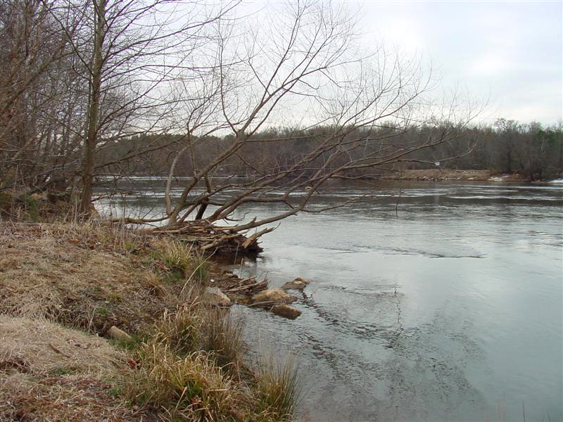 Broad RiverCanoeing · ~44 min drivePhoto: unknown/w:NOAA, Public domain (via Wikimedia Commons)
Best months: March–May and September–November. Best months have typical highs of 55–85 °F, lows of 30 °F or warmer (32 °F where the station doesn't record snow), at most one snowy day and no more than 12 wet days.
Jan
50° / 32°
11 wet
Feb
54° / 34°
10 wet
Mar
61° / 40°
12 wet
Apr
70° / 49°
11 wet
May
77° / 57°
12 wet
Jun
83° / 65°
13 wet
Jul
86° / 69°
14 wet
Aug
85° / 67°
13 wet
Sep
79° / 62°
10 wet
Oct
70° / 51°
9 wet
Nov
60° / 41°
9 wet
Dec
52° / 35°
11 wet
Typical high / low (°F) and days with rain or snow, 1991–2020. Measured at Tryon, NC, 6.8 mi away at 1,320 ft. This station doesn't record snowfall. Source: NOAA NCEI U.S. Climate Normals 1991–2020.
