Lynn R. Sullivan Jackson Boat Landing and Recreation Area
- Oct–Apr
- best months
Lynn R. Sullivan Jackson Boat Landing and Recreation Area is a boat launch in South Carolina, about 4.5 miles from the town of Jackson. It serves as a put-in for paddlers and boaters heading out on the water in this corner of the state. Spring and fall are the most comfortable times to visit. Typical averages from a nearby weather station show April highs around 78°F and October highs around 79°F, while July and August average in the low 90s. Paddlers can also look to Bear Island Creek, about 5.5 miles away, and Hollow Creek, about 8 miles away, for more canoeing. The River Levee Trail, roughly 9 miles off, offers a hike for those who want to pair time on the water with time on foot.
Source: Roamze catalog (indexable pages within 10 miles, PostGIS distance)
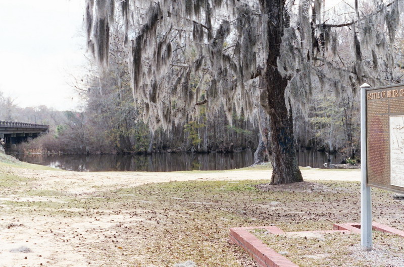 Brier CreekCanoeing · ~59 min drivePhoto: Dereddick, Public domain (via Wikimedia Commons)
- North Boat RampBoat launch · ~14 min drive
- Bear Island CreekCanoeing · ~9 min drive
- Baurle Boat Ramp at Lock and Dam ParkBoat launch · ~15 min drive
- Hollow CreekCanoeing · ~14 min drive
- Lake Olmstead Boat RampBoat launch · ~30 min drive
- McBean CreekCanoeing · ~18 min drive
- Kayak River AccessBoat launch · ~32 min drive
- Spirit CreekCanoeing · ~18 min drive
- Furys Ferry Boat RampBoat launch · ~46 min drive
Best time to visit Lynn R. Sullivan Jackson Boat Landing and Recreation Area
Best months: October–April. Best months have typical highs of 55–85 °F, lows of 30 °F or warmer (32 °F where the station doesn't record snow), at most one snowy day and no more than 12 wet days.
Jan
60° / 35°
10 wet
Feb
64° / 38°
9 wet
Mar
71° / 44°
9 wet
Apr
78° / 51°
8 wet
May
86° / 60°
8 wet
Jun
91° / 68°
11 wet
Jul
94° / 72°
11 wet
Aug
93° / 71°
11 wet
Sep
88° / 65°
8 wet
Oct
79° / 53°
7 wet
Nov
69° / 42°
7 wet
Dec
62° / 37°
9 wet
Typical high / low (°F) and days with rain or snow, 1991–2020. Measured at Augusta Bush Fld Ap, GA, 9 mi away at 132 ft. Source: NOAA NCEI U.S. Climate Normals 1991–2020.
Map and trail data © OpenStreetMap contributors
