Black Forest Family Camping Resort
Campground
Campground · 1.8 mi from the trail
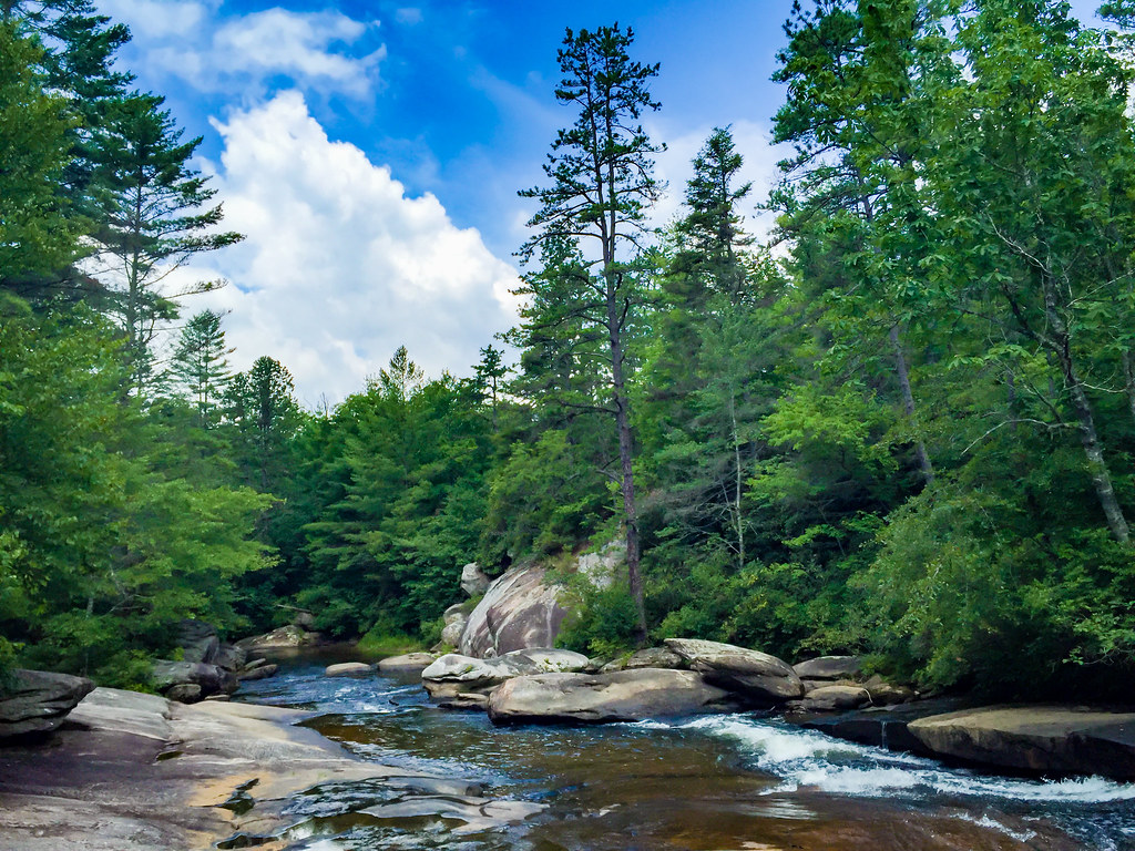
Frank Coggins Trail is a short, easy hike in Caesars Head State Park in South Carolina, about half a mile from the town of Caesars Head. The trail is managed by State Park and Recreation and covers roughly a mile, with a one-way climb of about 444 feet from a starting point near 2,956 feet to a high of about 3,191 feet. The most comfortable months for a visit are typically October and May, when typical averages from a nearby weather station in Caesars Head run around 63°F and 70°F, with fewer wet days than the summer months. July is the warmest, with highs near 78°F and about 16 wet days. The trail sits close to several other routes. Rim of the Gap Trail starts just 0.1 mile away, and Coldspring Connector Trail is about 0.2 mile off. Naturaland Trust Trail #14 is about 0.4 mile away. Climbers can find Alliteration Wall about 2.7 miles from the trail.
Black Forest Family Camping Resort
Campground
 If it rainsMx. Granger, CC0 · Wikimedia Commons
Places © OpenStreetMap contributors, Places © Overture Maps Foundation · Photos: Mx. Granger, CC0 (commons)
More in HendersonvilleNot on Roamze yet. Their page has how to reach them.
Source: Roamze catalog (indexable pages within 10 miles, PostGIS distance)
 Mine Mountain TrailHiking · ~6 min drivePhoto: mebrett, CC BY 2.0 (via Flickr)
 Cedar Rock TrailHiking · ~7 min drivePhoto: Osajus Photography, CC BY 2.0 (via Flickr)Shoals TrailHiking · ~6 min drivePhoto: Osajus Photography, CC BY 2.0 (via Flickr)
 Corn Mill Shoals TrailHiking · ~8 min drivePhoto: anjanettew, CC BY-SA 2.0 (via Flickr)Wilkie TrailHiking · ~7 min drivePhoto: Osajus Photography, CC BY 2.0 (via Flickr)
Best months: March–May and September–November. Best months have typical highs of 55–85 °F, lows of 30 °F or warmer (32 °F where the station doesn't record snow), at most one snowy day and no more than 12 wet days.
Jan
45° / 28°
10 wet
Feb
48° / 30°
10 wet
Mar
56° / 37°
11 wet
Apr
65° / 44°
11 wet
May
70° / 53°
12 wet
Jun
75° / 60°
14 wet
Jul
78° / 64°
16 wet
Aug
76° / 63°
15 wet
Sep
71° / 58°
10 wet
Oct
63° / 48°
9 wet
Nov
55° / 38°
9 wet
Dec
48° / 32°
10 wet
Typical high / low (°F) and days with rain or snow, 1991–2020. Measured at Caesars Head, SC, 0.5 mi away at 3,200 ft. This station doesn't record snowfall. Source: NOAA NCEI U.S. Climate Normals 1991–2020.
Map and trail data © OpenStreetMap contributors

