Catawba Nation Greenway Trail
- 1.3 mi
- round trip
- 984 ft
- climb
- 579 ft
- high point
- Out and back
- route
- Feb–May, Sep–Dec
- best months
Clear today
Weather is good · OpenWeather · checked 11 h ago
Catawba Nation Greenway Trail is a 1.33-mile hike on land within the Catawba Tribe's jurisdiction in South Carolina. The route is an out-and-back that starts and ends at the high point of 579 feet, with a total climb of about 984 feet over the course of the round trip. That makes the trail a short but moderate outing, and the steepest part comes around the 1.2-mile mark at about a 10% grade. The most comfortable months for a visit are typically spring and fall. At a nearby weather station, typical average highs run about 75°F in April and 74°F in October, while July averages around 91°F. The station sits about 650 feet in elevation, so temperatures on the trail may run a little cooler. The trip takes about 1.5 hours. For more time on foot, the Canal Trail lies about 7.7 miles away. Paddlers can head to Sixmile Creek, about 7.8 miles off. North Steele Creek and the Trestle Trail are both within about 10 miles.
- Canal TrailHiking7.7 mi
- Sixmile CreekCanoeing7.8 mi
- North Steele CreekHiking9.3 mi
- Trestle TrailHiking9.8 mi
- Timberline TrailHiking9.9 mi
- Trekker LoopHiking9.9 mi
- Azalea WalkHiking10 mi
- Cane CreekCanoeing10 mi
Source: Roamze catalog (indexable pages within 10 miles, PostGIS distance)
 Creekside TrailHiking · ~27 min drivePhoto: chascow, CC BY 2.0 (via Flickr)
 Seven Oaks Preserve TrailHiking · ~35 min drivePhoto: chascow, CC BY 2.0 (via Flickr)
- Cedar Ridge TrailHiking · ~27 min drivePhoto: chascow, CC BY 2.0 (via Flickr)
- Pine Hollow TrailHiking · ~27 min drivePhoto: chascow, CC BY 2.0 (via Flickr)
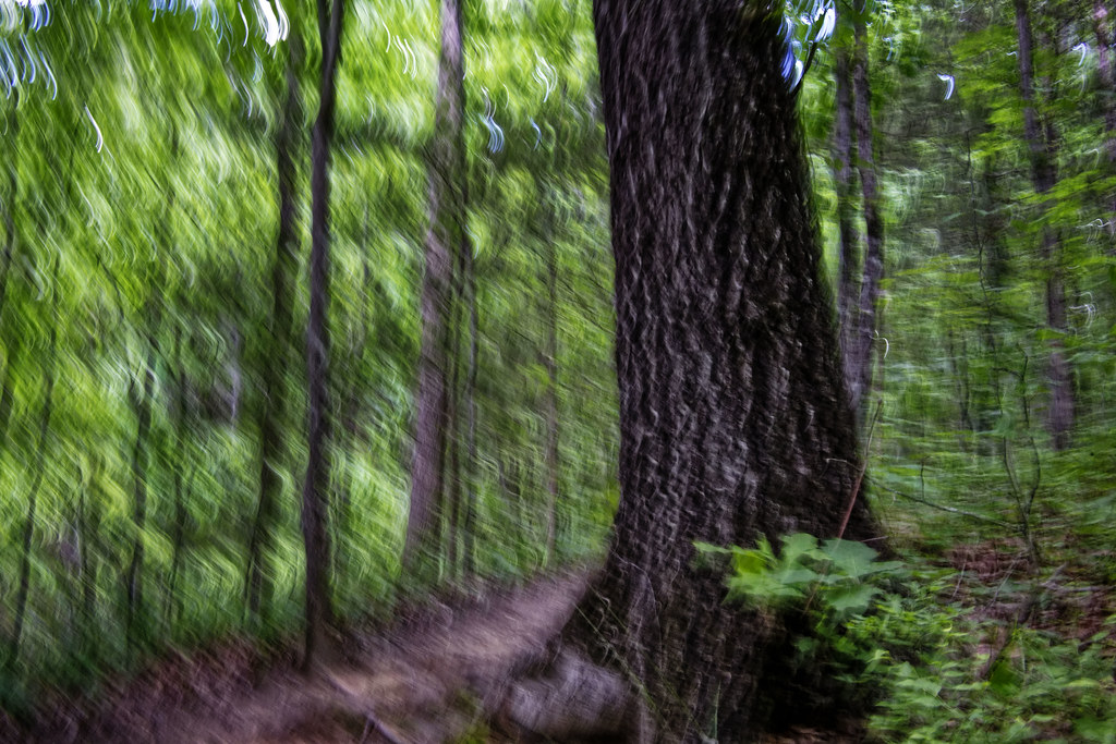 Chestnut TrailHiking · ~28 min drivePhoto: chascow, CC BY 2.0 (via Flickr)
 Four Seasons TrailHiking · ~28 min drivePhoto: johnmac19, CC BY 3.0 (via Wikimedia Commons)
- Cove TrailHiking · ~28 min drivePhoto: johnmac19, CC BY 3.0 (via Wikimedia Commons)
- Kingfisher TrailHiking · ~29 min drivePhoto: johnmac19, CC BY 3.0 (via Wikimedia Commons)
- Catawba Nation Greenway TrailHiking · ~2 min drive
- Canal TrailHiking · ~13 min drive
Best time to visit Catawba Nation Greenway Trail
Best months: February–May and September–December. Best months have typical highs of 55–85 °F, lows of 30 °F or warmer (32 °F where the station doesn't record snow), at most one snowy day and no more than 12 wet days.
Jan
53° / 33°
10 wet
Feb
58° / 35°
9 wet
Mar
66° / 42°
10 wet
Apr
75° / 50°
9 wet
May
81° / 59°
9 wet
Jun
88° / 67°
9 wet
Jul
91° / 70°
9 wet
Aug
89° / 69°
9 wet
Sep
83° / 63°
7 wet
Oct
74° / 51°
7 wet
Nov
64° / 41°
8 wet
Dec
56° / 35°
9 wet
Typical high / low (°F) and days with rain or snow, 1991–2020. Measured at Winthrop Univ, SC, 9.2 mi away at 650 ft. This station doesn't record snowfall. Source: NOAA NCEI U.S. Climate Normals 1991–2020.

Map and trail data © OpenStreetMap contributors
