Wheatfield Trail
- 0.1 mi
- round trip
- 33 ft
- climb
- Singletrack
- surface
- Out and back
- route
- Aug–Oct
- best months
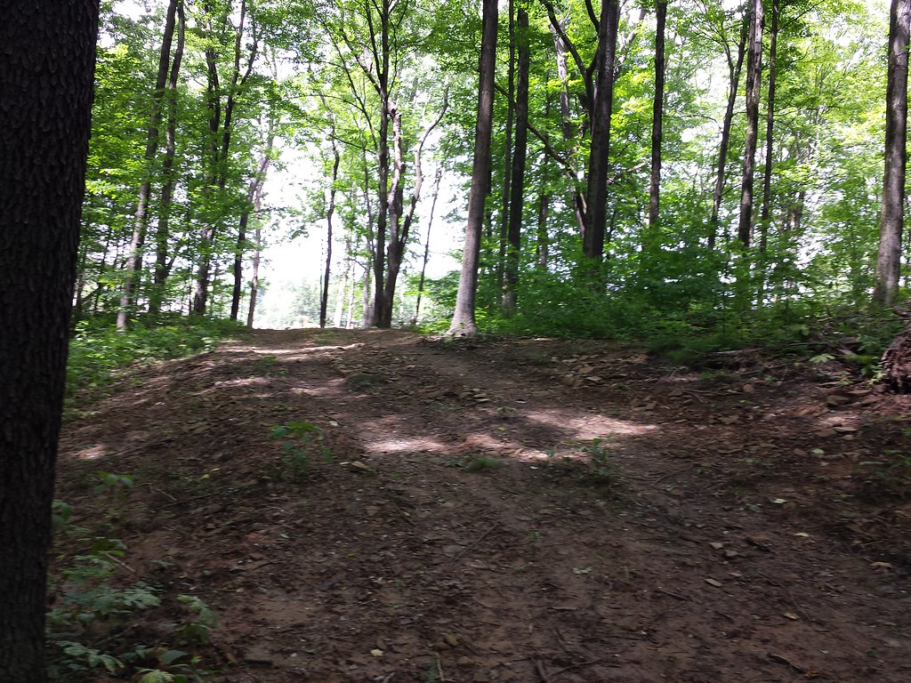
Wheatfield Trail is a short mountain biking route in Oak Hollow Park in Pennsylvania, set at a low point of about 1,122 feet with a high of roughly 1,157 feet. The trail is an out-and-back of about 0.2 miles, with a total climb of 33 feet, and it is rated easy. The climb is front-loaded, with the steepest part at about 0.05 miles in, and the trail ends at nearly the same elevation it starts. September is the most comfortable month to ride, with typical highs around 77°F and lows near 55°F, according to averages from a nearby weather station. Late spring is similar, with May highs around 74°F. Several other mountain biking trails sit within about a tenth of a mile, including Crosscut Trail, Upper Trail and Barnes Trail. Pond Loop is about 0.4 miles away, and the hiking Dickson Trail is also within reach.
Local outfitters
- Venture Outdoors24 mi away
- Ohiopyle Trading Post35 mi away
Not on Roamze yet. Their page has how to reach them.
Best time to go · Aug–Oct
Best time to visit Wheatfield Trail
Best months: August–October. Best months have typical highs of 55–85 °F, lows of 30 °F or warmer (32 °F where the station doesn't record snow), at most one snowy day and no more than 12 wet days.
Jan
38° / 22°
15 wet
Feb
41° / 22°
13 wet
Mar
50° / 29°
12 wet
Apr
64° / 39°
13 wet
May
74° / 51°
15 wet
Jun
83° / 59°
14 wet
Jul
86° / 64°
13 wet
Aug
84° / 62°
12 wet
Sep
77° / 55°
10 wet
Oct
65° / 43°
12 wet
Nov
52° / 33°
11 wet
Dec
41° / 27°
14 wet
Typical high / low (°F) and days with rain or snow, 1991–2020. Measured at Murrysville 2 Sw, PA, 4.3 mi away at 860 ft. This station doesn't record snowfall. Source: NOAA NCEI U.S. Climate Normals 1991–2020.
Keep exploring — more rides worth the drive
RIDE
Crosscut Trail
Next door
0.18-mile easy singletrack out-and-back in Pennsylvania with 55 ft gain.
RIDE
Sawyer Trail
Next door
0.20-mile out-and-back singletrack in Pennsylvania with 106 ft gain
RIDE
Woodpecker Trail
~3 min drive
Hard singletrack out-and-back in Pennsylvania, 0.18 miles.
RIDE
Upper Trail
Next door
0.18-mile easy singletrack in Pennsylvania with 95 ft of elevation gain.
RIDE
Dickson Trail
Next door
0.42-mile out-and-back singletrack in Pennsylvania with 175 ft elevation gain.
RIDE
Comphrey Trail
~4 min drive
0.10-mile out-and-back singletrack in Pennsylvania rated difficult / black diamond.
RIDE
Barnes Trail
Next door
0.10-mile out-and-back singletrack in Pennsylvania with 50 ft elevation gain.
RIDE
Shelby Trail
Next door
0.15-mile intermediate singletrack in Pennsylvania with 38 ft of elevation gain.
RIDE
Trillium Trail (White Dot(
~4 min drive
0.32-mile hard singletrack out and back in Pennsylvania with 191 ft gain.
RIDE
Conner Trail
Next door
0.66-mile out-and-back singletrack in Pennsylvania with 229 ft elevation gain.
Also worth it near here
Map and trail data © OpenStreetMap contributors
