West Connector
- 0.1 mi
- round trip
- 59 ft
- climb
- Singletrack
- surface
- Out and back
- route
- Aug–Oct
- best months
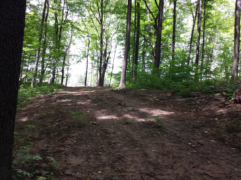
West Connector is a short, easy mountain biking route in Pennsylvania's Lillian Kellman Nature Reserve, about 0.13 miles from the Maury Hanes Loop. The trail is an out-and-back that covers about 0.26 miles, with a high point of 1,133 feet and a low of 1,103 feet. The climb is gentle, with a total gain and loss of about 59 feet each way, and the steepest stretch comes at about 0.07 miles in, with a grade of about 2 percent. For comfortable weather, aim for late spring or early fall. Typical averages from a nearby weather station in Murrysville show May highs around 74°F and September highs around 77°F, with September also seeing the fewest wet days of the year. The Maury Hanes Loop is just 0.1 miles away, and the North Entrance Road and South Woods Loop are each about 0.3 miles off. For a longer ride, the Gilbert Trail Extension lies roughly 0.8 miles away.
Local outfitters
- Venture Outdoors21 mi away
- Ohiopyle Trading Post41 mi away
Not on Roamze yet. Their page has how to reach them.
Best time to go · Aug–Oct
Best time to visit West Connector
Best months: August–October. Best months have typical highs of 55–85 °F, lows of 30 °F or warmer (32 °F where the station doesn't record snow), at most one snowy day and no more than 12 wet days.
Jan
38° / 22°
15 wet
Feb
41° / 22°
13 wet
Mar
50° / 29°
12 wet
Apr
64° / 39°
13 wet
May
74° / 51°
15 wet
Jun
83° / 59°
14 wet
Jul
86° / 64°
13 wet
Aug
84° / 62°
12 wet
Sep
77° / 55°
10 wet
Oct
65° / 43°
12 wet
Nov
52° / 33°
11 wet
Dec
41° / 27°
14 wet
Typical high / low (°F) and days with rain or snow, 1991–2020. Measured at Murrysville 2 Sw, PA, 2.9 mi away at 860 ft. This station doesn't record snowfall. Source: NOAA NCEI U.S. Climate Normals 1991–2020.
Keep exploring — more rides worth the drive
RIDE
Hollow Oaks Loop
Next door
0.56-mile easy singletrack loop in Pennsylvania with 142 ft of elevation gain.
RIDE
Gilbert Trail Extension
~1 min drive
0.14-mile out-and-back singletrack in Pennsylvania with 90 ft elevation gain.
RIDE
Coronary Trail
~2 min drive
0.30-mile out-and-back singletrack in Pennsylvania rated Black Diamond / Difficult.
RIDE
North Entrance Road
Next door
0.17-mile out-and-back singletrack with 12 ft gain in Pennsylvania
RIDE
Gilbert Loop
~2 min drive
0.49-mile out-and-back singletrack in Pennsylvania with 163 ft elevation gain.
RIDE
Yellow Trail
~5 min drive
0.31-mile hard singletrack out and back in Pennsylvania with 48 ft elevation gain.
RIDE
South Woods Loop
Next door
0.43-mile easy singletrack loop in Pennsylvania with 159 ft elevation gain
RIDE
Zoey Trail
~4 min drive
0.28-mile out-and-back singletrack in Pennsylvania with 198 ft gain.
RIDE
Don Harrison Trail - Blue Trail
~6 min drive
3.13-mile hard singletrack out and back in Pennsylvania with 569 ft gain.
RIDE
Lower Trail
~1 min drive
0.52-mile easy singletrack in Pennsylvania with 122 ft gain.
Map and trail data © OpenStreetMap contributors
