Abbey Trail
- 0.2 mi
- round trip
- 68 ft
- climb
- Singletrack
- surface
- Out and back
- route
- Aug–Oct
- best months
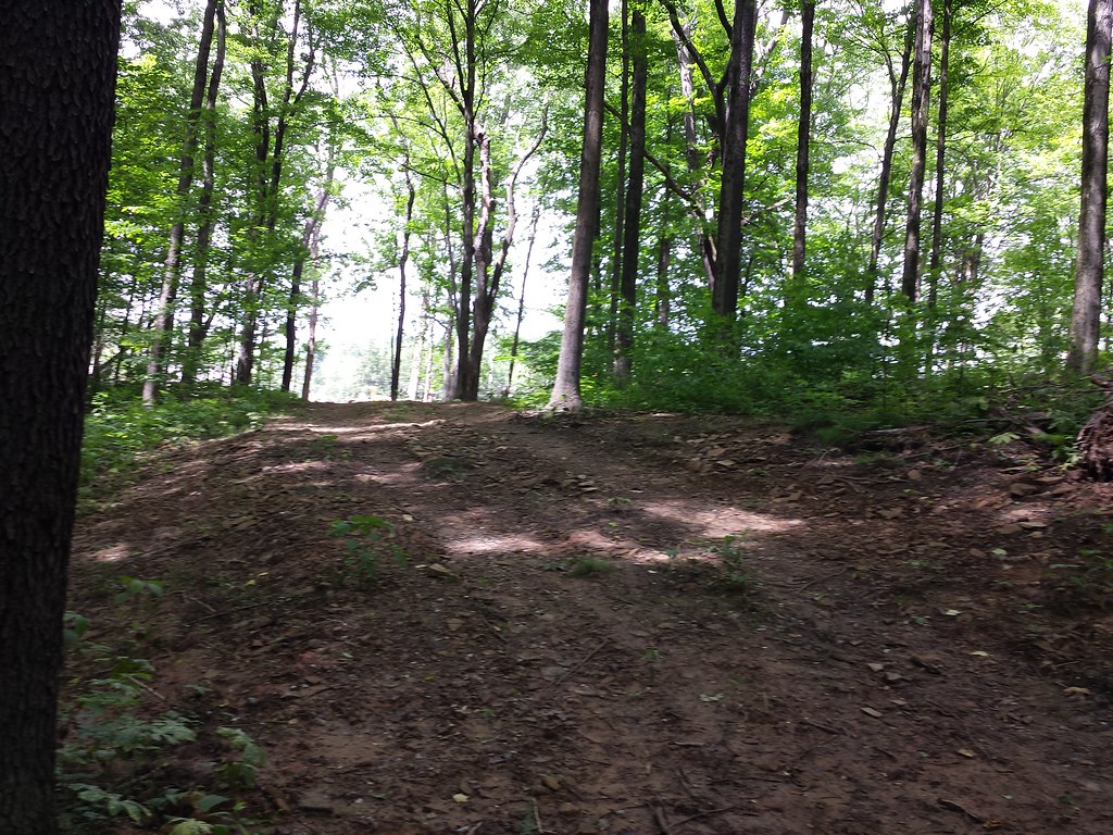
Abbey Trail is a short, easy mountain biking route in Oak Hollow Park in Pennsylvania, set at about 1,012 feet with a high point of 1,040 feet. The trail is an out-and-back of about 0.34 miles, with a total climb of 68 feet, and it is rated easy. The route is a quick ride, with the steepest stretch at about 0.05 miles in, where the grade reaches 7 percent. The trail is close to several other routes, so it works well as a short stop or a link in a longer ride. For comfortable weather, aim for late spring or early fall. Typical averages from a nearby weather station show May highs around 74°F and September highs around 77°F, with September also seeing the fewest wet days of the year. Dickson Trail, a hike, and Saint Raphael Trail, a mountain biking route, both sit about 0.1 mile away. Shelby Trail and Devon Trail are also within a tenth of a mile.
Local outfitters
- Venture Outdoors24 mi away
- Ohiopyle Trading Post35 mi away
Not on Roamze yet. Their page has how to reach them.
Best time to go · Aug–Oct
Best time to visit Abbey Trail
Best months: August–October. Best months have typical highs of 55–85 °F, lows of 30 °F or warmer (32 °F where the station doesn't record snow), at most one snowy day and no more than 12 wet days.
Jan
38° / 22°
15 wet
Feb
41° / 22°
13 wet
Mar
50° / 29°
12 wet
Apr
64° / 39°
13 wet
May
74° / 51°
15 wet
Jun
83° / 59°
14 wet
Jul
86° / 64°
13 wet
Aug
84° / 62°
12 wet
Sep
77° / 55°
10 wet
Oct
65° / 43°
12 wet
Nov
52° / 33°
11 wet
Dec
41° / 27°
14 wet
Typical high / low (°F) and days with rain or snow, 1991–2020. Measured at Murrysville 2 Sw, PA, 4.5 mi away at 860 ft. This station doesn't record snowfall. Source: NOAA NCEI U.S. Climate Normals 1991–2020.
Keep exploring — more rides worth the drive
RIDE
Dickson Trail
Next door
0.42-mile out-and-back singletrack in Pennsylvania with 175 ft elevation gain.
RIDE
Saint Raphael Trail
Next door
0.20-mile easy singletrack out and back in Pennsylvania with 9 ft elevation gain.
RIDE
Woodpecker Trail
~2 min drive
Hard singletrack out-and-back in Pennsylvania, 0.18 miles.
RIDE
Shelby Trail
Next door
0.15-mile intermediate singletrack in Pennsylvania with 38 ft of elevation gain.
RIDE
Rocks Trail
Next door
0.24-mile out-and-back singletrack in Pennsylvania with 108 ft elevation gain.
RIDE
Comphrey Trail
~4 min drive
0.10-mile out-and-back singletrack in Pennsylvania rated difficult / black diamond.
RIDE
Sawyer Trail
Next door
0.20-mile out-and-back singletrack in Pennsylvania with 106 ft gain
RIDE
Devon Trail
Next door
0.11-mile easy out-and-back singletrack in Pennsylvania with 27 ft of elevation gain.
RIDE
Trillium Trail (White Dot(
~4 min drive
0.32-mile hard singletrack out and back in Pennsylvania with 191 ft gain.
RIDE
Victoria Trail
~4 min drive
0.16-mile out-and-back singletrack in Pennsylvania with 64 ft of elevation gain.
Map and trail data © OpenStreetMap contributors
