Winter Trail
- 0.8 mi
- round trip
- 1,262 ft
- climb
- 1,324 ft
- high point
- Out and back
- route
- Apr, Jun–Oct
- best months
Is Winter Trail open right now?
Closure in the area
There's a closure order in Appalachian National Scenic Trail. It doesn't name Winter Trail, so check the source for the area it covers.
List of trail closures post-Hurricane Helene
Park closure covering Appalachian National Scenic Trail · NPS · Appalachian National Scenic Trail
Black Bears Frequenting the McAfee Knob Area in Virginia
Park alert covering Appalachian National Scenic Trail · NPS · Appalachian National Scenic Trail
As of · Source: NPS · Appalachian National Scenic Trail. Agencies don't list every closure — check before you go.
Winter Trail is a moderate out-and-back hike of about 1.7 miles on National Park Service land in Pennsylvania, within the Appalachian National Scenic Trail corridor. The trail starts at 446 feet and climbs to a high point of 1,324 feet, with a total gain of 1,262 feet over the course of the round trip. The climb is front-loaded, and the steepest stretch comes at about 0.44 miles in, where the grade reaches 30 percent. The most comfortable months for a visit are typically late spring and early fall. Typical averages from a nearby weather station in Lehighton show May highs around 70°F and September highs around 73°F, while winter brings highs in the mid-30s and a few snowy days each month from December through February. The trip takes about an hour. The trail is part of the Appalachian National Scenic Trail, and the surrounding area offers several other short hikes within a couple of miles, including the Charcoal Trail, the P.M.P.A. Nature Trail and the Prairie Grass Trail.
- Charcoal TrailHiking1 mi
- P.M.P.A. Nature TrailHiking1.3 mi
- Prairie Grass TrailHiking1.8 mi
- Bypass TrailHiking2.1 mi
 Chestnut Oak TrailHikingPhoto: Nicholas_T, CC BY 2.0 (via Flickr)2.2 mi
- Double G LoopHiking2.4 mi
- L&NE TrailHiking2.4 mi
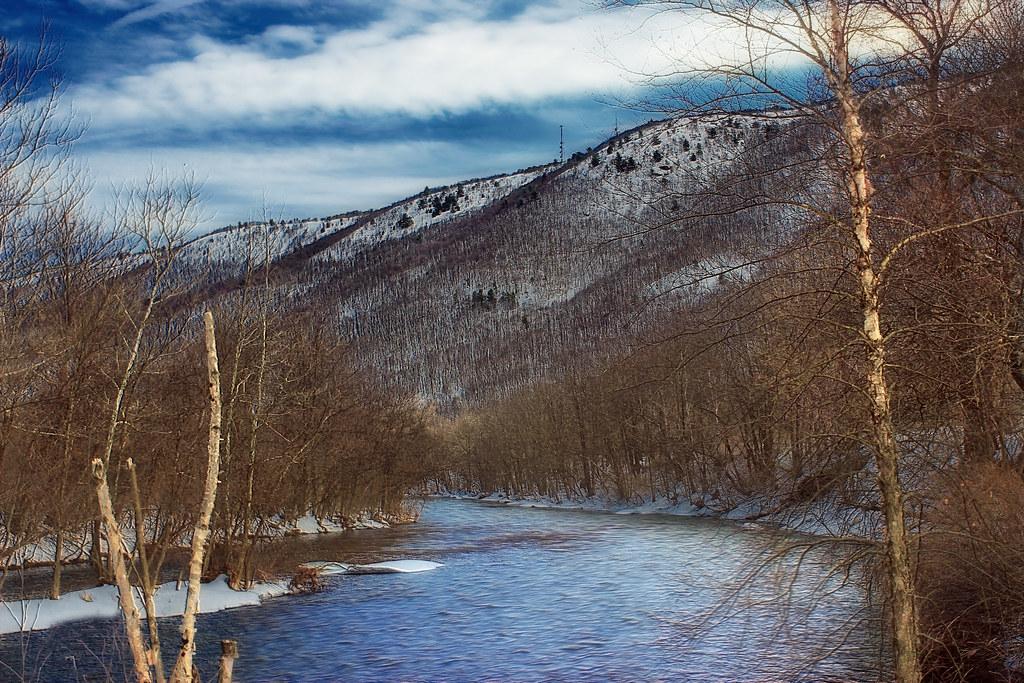 South TrailHikingPhoto: Nicholas_T, CC BY 2.0 (via Flickr)2.8 mi
Source: Roamze catalog (indexable pages within 10 miles, PostGIS distance)
- Chestnut Oak TrailHiking · ~4 min drivePhoto: Nicholas_T, CC BY 2.0 (via Flickr)
- Prairie Grass TrailHiking · ~3 min drive
- Appalachian National Scenic TrailHiking · ~5 min drive
- South TrailHiking · ~5 min drivePhoto: Nicholas_T, CC BY 2.0 (via Flickr)
- Bypass TrailHiking · ~4 min drive
 Pine Run Cove TrailHiking · ~9 min drivePhoto: Anthony Bley, U.S. Army Corps of Engineers, Public domain (via Wikimedia Commons)
- L&NE TrailHiking · ~4 min drive
 Happy Yummy Fun TrailHiking · ~9 min drivePhoto: michaelwm25, CC BY 3.0 (via Wikimedia Commons)
- Preacher's Camp TrailHiking · ~13 min drive
 Delps Side TrailHiking · ~14 min drivePhoto: Nicholas_T, CC BY 2.0 (via Flickr)
Best time to visit Winter Trail
Best months: April and June–October. Best months have typical highs of 55–85 °F, lows of 30 °F or warmer (32 °F where the station doesn't record snow), at most one snowy day and no more than 12 wet days.
Jan
36° / 19°
10 wet · 4 snow
Feb
38° / 21°
9 wet · 3 snow
Mar
47° / 28°
10 wet · 2 snow
Apr
61° / 38°
11 wet
May
70° / 48°
14 wet
Jun
78° / 57°
12 wet
Jul
82° / 62°
12 wet
Aug
80° / 60°
11 wet
Sep
73° / 53°
10 wet
Oct
62° / 41°
11 wet
Nov
50° / 32°
10 wet
Dec
40° / 24°
11 wet · 2 snow
Typical high / low (°F) and days with rain or snow, 1991–2020. Measured at Lehighton 1ssw, PA, 5 mi away at 455 ft. The station sits about 900 ft lower than this place, so expect it a little cooler here. Source: NOAA NCEI U.S. Climate Normals 1991–2020.
Map and trail data © OpenStreetMap contributors
