White / Red Dot Trail
- 0.6 mi
- round trip
- 329 ft
- climb
- 1,282 ft
- high point
- Out and back
- route
- May–Oct
- best months
The White / Red Dot Trail is an easy out-and-back hike of about 1.3 miles in North Park, Pennsylvania, with a total elevation gain of 329 feet. The trail starts at roughly 1,261 feet and reaches a high point of about 1,282 feet, and the steepest stretch comes early, around the 0.23-mile mark, where the grade reaches about 12%. A round trip covers the full 329 feet of gain and loss, so plan on about half an hour for the outing. Late spring and early fall are the most comfortable times to go. Typical averages from a nearby weather station run to highs of about 74°F in May and 78°F in September, and the station sits well below the trail, so temperatures on the higher ground run cooler. Several other routes start close by. The White Trail and Blue Trail are each about 0.1 mile away, and the Contour Trail is about 0.2 mile off. For a longer walk, the Rachel Carson Trail lies about 0.8 mile away.
Local outfitters
- Venture Outdoors2 mi away
Not on Roamze yet. Their page has how to reach them.
- White TrailHiking0.1 mi
- Blue TrailHiking0.1 mi
 Contour TrailHikingPhoto: hhm8, CC BY 2.0 (via Flickr)0.2 mi
- (MTB 5 downhill)Mountain biking0.3 mi
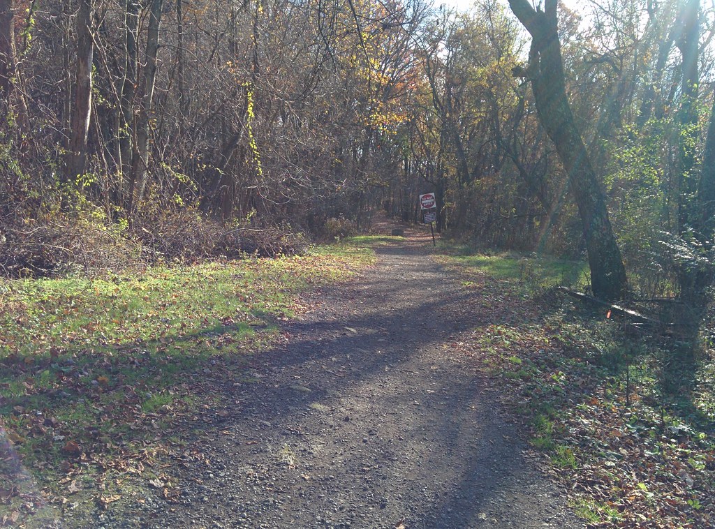 White / Green Dot TrailHikingPhoto: hhm8, CC BY 2.0 (via Flickr)0.6 mi
- Rachel Carson TrailHiking0.8 mi
- Orange / Green Dot TrailMountain biking1.8 mi
- Glade RunCanoeing10 mi
Source: Roamze catalog (indexable pages within 10 miles, PostGIS distance)
- Contour TrailHiking · Next doorPhoto: hhm8, CC BY 2.0 (via Flickr)
- Rachel Carson TrailHiking · ~1 min drive
- Rachel Carson TrailHiking · ~2 min drive
- Red / Blue Dot TrailHiking · ~2 min drive
- White / Green Dot TrailHiking · ~1 min drivePhoto: hhm8, CC BY 2.0 (via Flickr)
- Orange TrailHiking · ~4 min drive
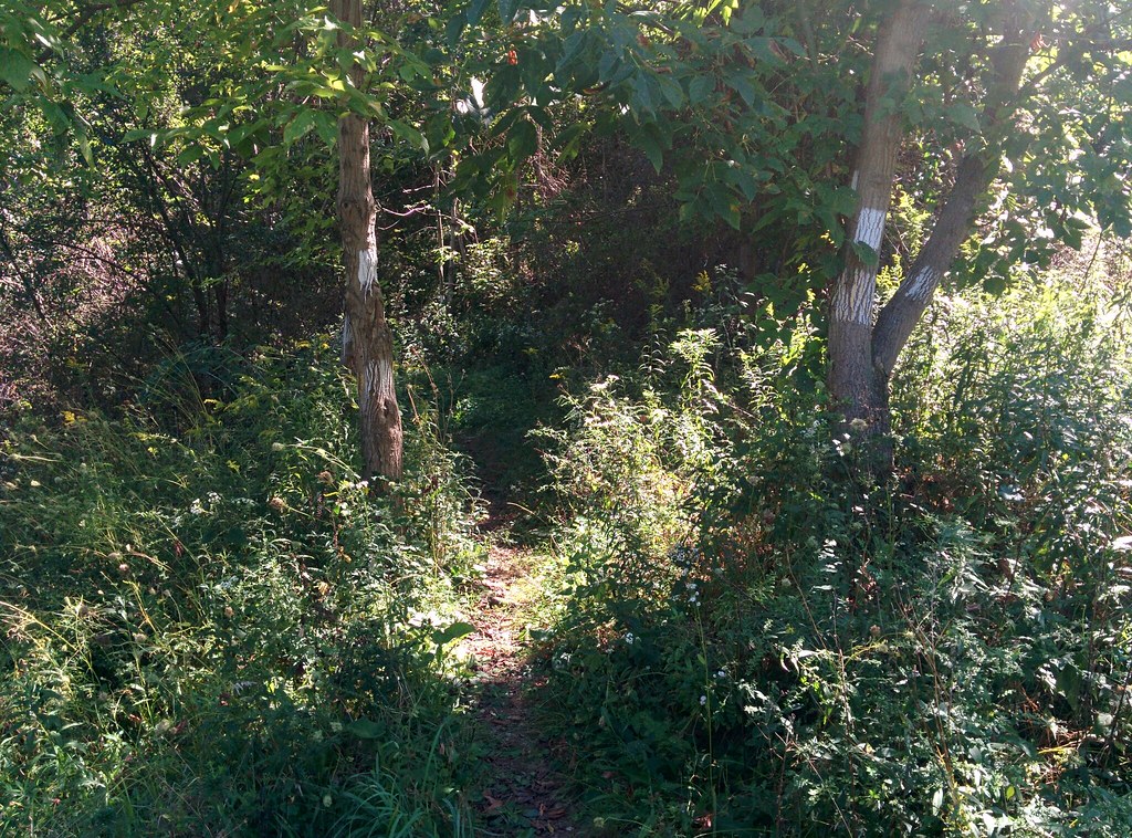 Lower RidgeHiking · ~5 min drivePhoto: hhm8, CC BY 2.0 (via Flickr)
- Rachel Carson TrailHiking · ~5 min drive
- White TrailHiking · Next door
- Rachel Carson TrailHiking · ~5 min drive
Best time to visit White / Red Dot Trail
Best months: May–October. Best months have typical highs of 55–85 °F, lows of 30 °F or warmer (32 °F where the station doesn't record snow), at most one snowy day and no more than 12 wet days.
Jan
39° / 20°
14 wet
Feb
42° / 22°
12 wet
Mar
51° / 29°
13 wet
Apr
64° / 39°
13 wet
May
74° / 50°
12 wet
Jun
81° / 59°
11 wet
Jul
85° / 64°
10 wet
Aug
84° / 62°
9 wet
Sep
78° / 55°
9 wet
Oct
66° / 44°
10 wet
Nov
54° / 33°
11 wet
Dec
43° / 26°
13 wet
Typical high / low (°F) and days with rain or snow, 1991–2020. Measured at Emsworth L/D Ohio Rvr, PA, 8 mi away at 717 ft. The station sits about 600 ft lower than this place, so expect it a little cooler here. This station doesn't record snowfall. Source: NOAA NCEI U.S. Climate Normals 1991–2020.
Map and trail data © OpenStreetMap contributors
