West Shore Trail
- 2.8 mi
- round trip
- 1,095 ft
- climb
- 1,235 ft
- high point
- Out and back
- route
- Aug–Oct
- best months
West Shore Trail is a 5.6-mile out-and-back hike in Prompton State Park in Pennsylvania, managed by State Park and Recreation. The trail rises steadily from a starting point of about 1,150 feet to a high point of 1,235 feet, with a total climb of about 1,100 feet for the round trip. The steepest stretch comes at about 1.2 miles in, where the grade reaches about 9 percent. Summer is the most comfortable time to go. Typical averages from a nearby weather station show July highs around 77°F with lows near 56°F, while the station sits about 565 feet higher than the trail's starting point, so temperatures on the trail run a little warmer. The hike takes about 2.5 hours. The trailhead is in Prompton State Park, and the route is close to several other trails. Cliff Trail is about 0.6 miles away and Blueberry Trail about 0.8 miles. East Shore Trail lies roughly 3.3 miles off, and the West Branch Lackawaxen River, a paddling route, is about 7.2 miles away.
- Cliff TrailHiking0.6 mi
- Blueberry TrailHiking0.8 mi
- East Shore TrailHiking3.3 mi
- O&W TrailHiking5.7 mi
- Honesdale Cliff BouldersRock climbing6.3 mi
- West Branch Lackawaxen RiverCanoeing7.2 mi
- My Brother's TrailHiking9.7 mi
Source: Roamze catalog (indexable pages within 10 miles, PostGIS distance)
 Wallenpaupack Creek TrailHiking · ~25 min drivePhoto: Doug Kerr from Albany, NY, United States, CC BY-SA 2.0 (via Wikimedia Commons)
- East Shore TrailHiking · ~6 min drive
- O&W TrailHiking · ~13 min drive
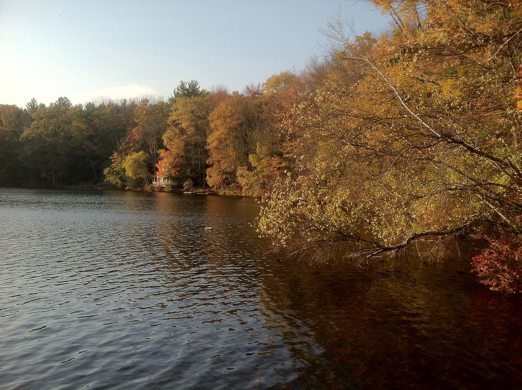 Damascus Forest TrailHiking · ~25 min drivePhoto: GWP Photography, CC BY 2.0 (via Flickr)
- O&W TrailHiking · ~10 min drive
- Lake Wallenpaupack TrailHiking · ~26 min drivePhoto: Doug Kerr from Albany, NY, United States, CC BY-SA 2.0 (via Wikimedia Commons)
- Pink Floyd TrailHiking · ~26 min drive
 Lake Wallenpaupack TrailHiking · ~27 min drivePhoto: Doug Kerr from Albany, NY, United States, CC BY-SA 2.0 (via Wikimedia Commons)
- Gene's TrailHiking · ~27 min drive
- Cattail Swamp TrailHiking · ~28 min drivePhoto: Doug Kerr from Albany, NY, United States, CC BY-SA 2.0 (via Wikimedia Commons)
Best time to visit West Shore Trail
Best months: August–October. Best months have typical highs of 55–85 °F, lows of 30 °F or warmer (32 °F where the station doesn't record snow), at most one snowy day and no more than 12 wet days.
Jan
29° / 12°
13 wet
Feb
32° / 12°
11 wet
Mar
40° / 20°
12 wet
Apr
53° / 31°
12 wet
May
65° / 43°
14 wet
Jun
73° / 52°
13 wet
Jul
77° / 56°
13 wet
Aug
76° / 54°
12 wet
Sep
69° / 47°
11 wet
Oct
57° / 36°
12 wet
Nov
45° / 27°
11 wet
Dec
34° / 19°
13 wet
Typical high / low (°F) and days with rain or snow, 1991–2020. Measured at Pleasant Mt 1 W, PA, 8.9 mi away at 1,800 ft. The station sits about 600 ft higher than this place, so expect it a little warmer here. This station doesn't record snowfall. Source: NOAA NCEI U.S. Climate Normals 1991–2020.
Map and trail data © OpenStreetMap contributors
