Standing Stone Trail
- 1.2 mi
- round trip
- 123 ft
- climb
- 1,446 ft
- high point
- Out and back
- route
- Apr, Jun–Oct
- best months
Standing Stone Trail is a short, easy out-and-back hike in Delaware State Forest in Pennsylvania, managed by the State Department of Natural Resources. The trail is about 2.4 miles long, with a total elevation gain of 123 feet, and it reaches a high point of 1,446 feet. The climb is flat, with the steepest stretch at about 0.97 miles in, and the trail is rated easy. Late spring and early fall are the most comfortable times to go. Typical averages from a nearby weather station in Hawley show May highs around 69°F and September highs around 73°F, with July the warmest month at about 81°F. That station sits roughly 550 feet lower than the trail, so temperatures on the trail run a little cooler. The hike takes about an hour. Burnt Mills Trail is about 1.9 miles away, Pineflats Trail about 2.7 miles, and Thunder Swamp Trail about 3.2 miles. For climbing, Bruce Lake Bouldering is about 9 miles off.
 Burnt Mills TrailHikingPhoto: Nicholas from Pennsylvania, USA, CC BY 2.0 (via Wikimedia Commons)1.9 mi
- Pineflats TrailHiking2.7 mi
- Thunder Swamp TrailHikingPhoto: Nicholas from Pennsylvania, USA, CC BY 2.0 (via Wikimedia Commons)3.2 mi
- Pine Flats Fireline TrailHiking3.4 mi
- Bushkill Colony TrailHiking4 mi
- Red Shale TrailHiking4.1 mi
- Spruks Camp TrailHiking4.2 mi
- Bruce Lake BoulderingRock climbing9.2 mi
Source: Roamze catalog (indexable pages within 10 miles, PostGIS distance)
- Burnt Mills TrailHiking · ~3 min drivePhoto: Nicholas from Pennsylvania, USA, CC BY 2.0 (via Wikimedia Commons)
- Thunder Swamp TrailHiking · ~6 min drivePhoto: Nicholas from Pennsylvania, USA, CC BY 2.0 (via Wikimedia Commons)
- Thunder Swamp TrailHiking · ~14 min drive
- Conashaugh View TrailHiking · ~16 min drive
- Thunder Swamp TrailHiking · ~6 min drivePhoto: Nicholas from Pennsylvania, USA, CC BY 2.0 (via Wikimedia Commons)
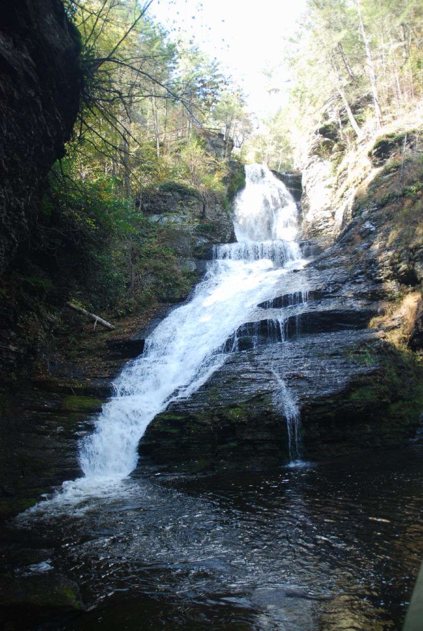
 Tumbling Waters TrailHiking · ~16 min drivePhoto: wasp7ty, CC BY 2.0 (via Flickr)
- Boundary TrailHiking · ~16 min drive
 George W. Childs Park Trail - AccessibleHiking · ~11 min drivePhoto: John Brighenti, CC BY 2.0 (via Flickr)
- Goose Pond TrailHiking · ~14 min drive
 Hornbecks Creek TrailHiking · ~14 min drivePhoto: John Delacy, CC BY 3.0 (via Wikimedia Commons)
Best time to visit Standing Stone Trail
Best months: April and June–October. Best months have typical highs of 55–85 °F, lows of 30 °F or warmer (32 °F where the station doesn't record snow), at most one snowy day and no more than 12 wet days.
Jan
33° / 13°
11 wet · 6 snow
Feb
36° / 14°
9 wet · 5 snow
Mar
45° / 22°
11 wet · 3 snow
Apr
57° / 32°
12 wet
May
69° / 43°
13 wet
Jun
77° / 52°
11 wet
Jul
81° / 57°
11 wet
Aug
79° / 55°
10 wet
Sep
73° / 48°
10 wet
Oct
61° / 36°
11 wet
Nov
49° / 27°
10 wet · 1 snow
Dec
38° / 20°
11 wet · 4 snow
Typical high / low (°F) and days with rain or snow, 1991–2020. Measured at Hawley 1 E, PA, 15.8 mi away at 890 ft. The station sits about 600 ft lower than this place, so expect it a little cooler here. Source: NOAA NCEI U.S. Climate Normals 1991–2020.
Map and trail data © OpenStreetMap contributors
