Snow Shoe Rails to Trails
- 7.1 mi
- round trip
- 1,625 ft
- climb
- 1,611 ft
- high point
- Out and back
- route
- Jul–Sep
- best months
Snow Shoe Rails to Trails is a 14.2-mile out-and-back hike in northeastern Pennsylvania, starting about 0.2 miles from the tiny community of Gillintown. The route gains 1,625 feet in elevation over its round trip, which makes it a demanding outing for anyone planning a day on foot. The trail's climb is steep at the beginning, with a grade of about 11% at 0.86 miles in, and it peaks at 1,611 feet. The high point is only about 100 feet above the trail's starting elevation of 1,412 feet, so the hike is as much about the steady climb as it is about the distance. Late spring and early fall are the most comfortable times to go. Typical averages from the nearby Clarence, PA weather station, which sits at a similar elevation, show May highs around 70°F and September highs around 74°F, while July and August reach the low 80s. Winters are cold, with January highs near 33°F. The trip takes about 5.5 hours. Forks Trail is 3.5 miles away, and Rock Run Trail is 4.9 miles off. Equestrian Camping lies about 9 miles from the trail.
- Forks TrailHiking3.5 mi
- Rock Run TrailHiking4.9 mi
- Woodland TrailHiking6.1 mi
- Shingle Mill TrailHiking6.2 mi
- Big Sandy TrailHiking6.3 mi
- Ridge TrailHiking6.5 mi
- Wolf Run Supply TrailHiking7 mi
- Equestrian CampingCamping9.2 mi
Source: Roamze catalog (indexable pages within 10 miles, PostGIS distance)
 Moss-Hanne TrailHiking · ~17 min drivePhoto: cm195902, CC BY 2.0 (via Flickr)
- Snow Shoe Rails to TrailsHiking · ~6 min drive
- Wolf Run TrailHiking · ~14 min drive
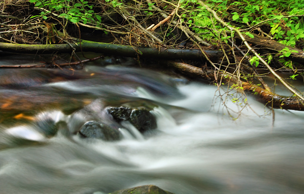 Shields Dam TrailHiking · ~17 min drivePhoto: Nicholas_T, CC BY 2.0 (via Flickr)
- Snow Shoe Rails to TrailsHiking · ~9 min drive
- Forks TrailHiking · ~6 min drive
- Shingle Mill TrailHiking · ~11 min drive
- Rock Run TrailHiking · ~8 min drive
- Ridge TrailHiking · ~11 min drive
- Woodland TrailHiking · ~11 min drive
Best time to visit Snow Shoe Rails to Trails
Best months: July–September. Best months have typical highs of 55–85 °F, lows of 30 °F or warmer (32 °F where the station doesn't record snow), at most one snowy day and no more than 12 wet days.
Jan
33° / 14°
15 wet
Feb
36° / 14°
13 wet
Mar
46° / 21°
13 wet
Apr
59° / 31°
13 wet
May
70° / 40°
14 wet
Jun
78° / 50°
13 wet
Jul
82° / 53°
12 wet
Aug
81° / 52°
11 wet
Sep
74° / 44°
11 wet
Oct
62° / 35°
13 wet
Nov
49° / 26°
13 wet
Dec
38° / 21°
15 wet
Typical high / low (°F) and days with rain or snow, 1991–2020. Measured at Clarence, PA, 3 mi away at 1,390 ft. This station doesn't record snowfall. Source: NOAA NCEI U.S. Climate Normals 1991–2020.
Map and trail data © OpenStreetMap contributors
