Ray's Revenge Trail
 Photo: Tex Jobe, U.S. Army Corps of Engineers, Public domain (via Wikimedia Commons)
- 4.1 mi
- round trip
- 2,620 ft
- climb
- 1,247 ft
- high point
- Out and back
- route
- Jun–Oct
- best months
Ray's Revenge Trail is a hard hike in Pennsylvania's Raystown Recreation Area, managed by the Army Corps of Engineers. The route is an out-and-back of about 8 miles, with a total elevation gain of about 2,600 feet. The trail starts at roughly 1,240 feet and reaches a high point of about 1,247 feet, so the climb is steady and the return is just as steep. The steepest stretch comes at about 1.6 miles in, with a grade of about 10 percent. For comfortable weather, aim for late spring or early fall. Typical averages from a nearby weather station at Raystown Lake show May highs around 72°F and September highs around 76°F, with July peaking near 85°F. The trip takes about four hours. Berry Patch Trail starts just 0.1 mile away, and Red Legs Trail and Ridge Trail are each about 0.7 mile off. For an overnight stay, Corbin's Island Picnic Shelter is about 2.2 miles away.
- Berry Patch TrailHikingPhoto: Tex Jobe, U.S. Army Corps of Engineers, Public domain (via Wikimedia Commons)0.1 mi
- Red Legs TrailHiking0.7 mi
- Ridge TrailHiking0.7 mi
- Corbin's Island Picnic ShelterCamping2.2 mi
- SusquehannockCamping2.5 mi
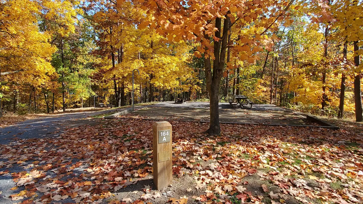 Seven PointsLake fishing3.6 mi
 Seven Points (pa)CampingPhoto: Recreation.gov (RIDB) / public domain3.6 mi
- Raystown LakeLake fishing8.4 mi
Source: Roamze catalog (indexable pages within 10 miles, PostGIS distance)
 Fawn TrailHiking · ~3 min drivePhoto: alex_cuse, CC BY 2.0 (via Flickr)
- Terrace Mountain TrailHiking · ~5 min drivePhoto: Tex Jobe, U.S. Army Corps of Engineers, Public domain (via Wikimedia Commons)
- Eagle TrailHiking · ~3 min drive
- Old Logger's TrailHiking · ~5 min drive
- Doe TrailHiking · ~4 min drivePhoto: alex_cuse, CC BY 2.0 (via Flickr)
- Standing Stone TrailHiking · ~12 min drive
- Stony TrailHiking · ~6 min drive
- Standing Stone TrailHiking · ~11 min drive
 Down Under TrailHiking · ~12 min drivePhoto: alex_cuse, CC BY 2.0 (via Flickr)
- Terrace Mountain TrailHiking · ~13 min drive
Best time to visit Ray's Revenge Trail
Best months: June–October. Best months have typical highs of 55–85 °F, lows of 30 °F or warmer (32 °F where the station doesn't record snow), at most one snowy day and no more than 12 wet days.
Jan
37° / 21°
11 wet
Feb
40° / 22°
9 wet
Mar
49° / 29°
11 wet
Apr
61° / 40°
13 wet
May
72° / 50°
14 wet
Jun
80° / 58°
12 wet
Jul
85° / 63°
12 wet
Aug
84° / 62°
12 wet
Sep
76° / 55°
11 wet
Oct
64° / 44°
11 wet
Nov
52° / 34°
10 wet
Dec
41° / 27°
11 wet
Typical high / low (°F) and days with rain or snow, 1991–2020. Measured at Raystown Lake 2, PA, 3.6 mi away at 1,000 ft. This station doesn't record snowfall. Source: NOAA NCEI U.S. Climate Normals 1991–2020.
Map and trail data © OpenStreetMap contributors
