Penoke Path
- 1.6 mi
- round trip
- 225 ft
- climb
- 1,750 ft
- high point
- Out and back
- route
- May–Oct
- best months
Is Penoke Path open right now?
Closure in the area
There's a closure order in Allegheny National Forest. It doesn't name Penoke Path, so check the source for the area it covers (3 listed).
Supervisor's Office Temporarily Closed
Agency closure covering Allegheny National Forest · USFS · Allegheny National Forest
Road Closure on Forest Road 154 for Bridge Replacement
Agency closure covering Allegheny National Forest · USFS · Allegheny National Forest
Kane Fields Area Closures
Agency closure covering Allegheny National Forest · Order 09-19-26-001 · USFS · Allegheny National Forest
Forest Order 09-19-11-01 Nansen Area Closure
Agency alert covering Allegheny National Forest · Order 09-19-11-01 · USFS · Allegheny National Forest
As of · Source: USFS · Allegheny National Forest. Agencies don't list every closure — check before you go.
Penoke Path is a short, easy out-and-back hike in Pennsylvania's Allegheny National Forest, within the Marienville Ranger District. The trail is 1.55 miles long and rises about 60 feet from its low point of 1,675 feet to a high of 1,750 feet. It is a straightforward outing for anyone looking for a brief walk in the forest. The route is natural-surfaced and allows bikes. It is not an accessible trail, so plan for that if you need a wheelchair or other mobility aid. Summer is the most comfortable time to go. Typical averages from a nearby weather station show July highs around 80°F with lows near 55°F, while winter highs stay in the 30s. Several other trails sit within half a mile, including Salmon Creek Loop and Beaver Meadows Loop Trail. For an overnight stay, Kelly Pines Equestrian Campground is about 5.5 miles away.
- Salmon Creek LoopHiking0.4 mi
- Beaver Meadows HikingHiking0.4 mi
- Beaver Meadows Loop TrailHiking0.4 mi
- Kelly Pines Equestrian CampgroundCamping5.5 mi
- The NorthwestRock climbing7.5 mi
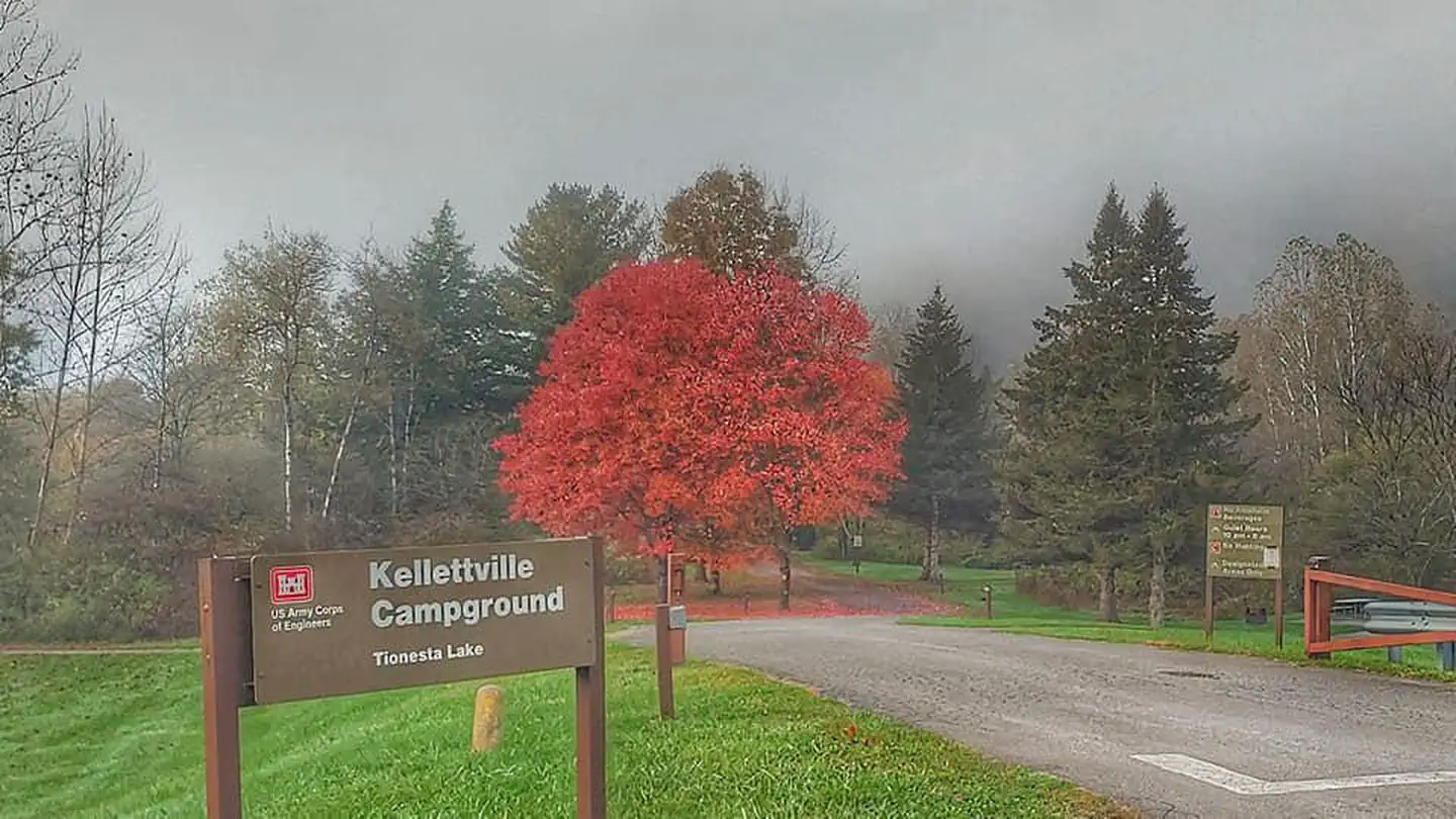 Kellettville Recreation AreaLake fishing8 mi
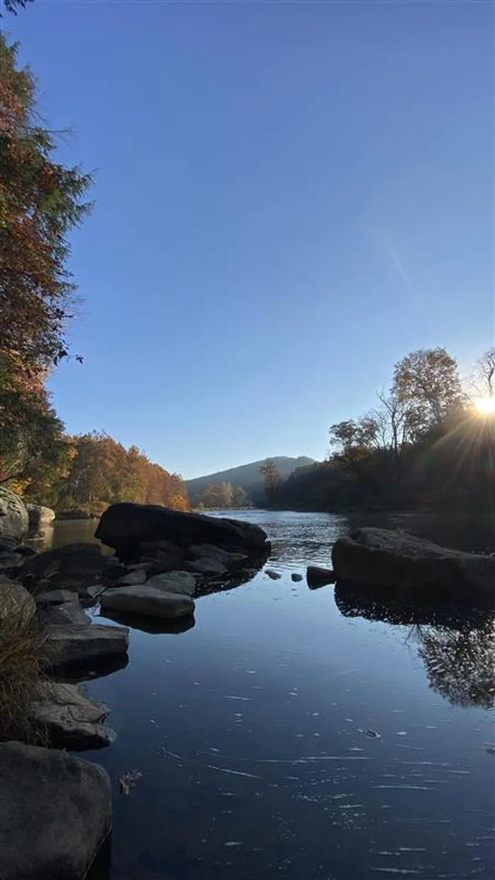 Kellettville Recreation Area (pa)CampingPhoto: Recreation.gov (RIDB) / public domain8 mi
- Loleta Rec AreaCamping8.2 mi
Source: Roamze catalog (indexable pages within 10 miles, PostGIS distance)
 Buzzard Swamp HikingHiking · ~9 min drivePhoto: andyarthur, CC BY 2.0 (via Flickr)
- Muddy Fork LoopHiking · ~9 min drivePhoto: andyarthur, CC BY 2.0 (via Flickr)
- ASL #6 LOGAN RIDGEHiking · ~6 min drive
- North Country National ScenicHiking · ~9 min drive
- Seldom SeenHiking · Next door
- Beaver Meadows HikingHiking · Next door
- Scht - Segment 21Hiking · ~14 min drive
- Minister CreekHiking · ~13 min drive
- West Branch MillstoneHiking · ~7 min drive
- Beaver Meadows Loop TrailHiking · Next door
Best time to visit Penoke Path
Best months: May–October. Best months have typical highs of 55–85 °F, lows of 30 °F or warmer (32 °F where the station doesn't record snow), at most one snowy day and no more than 12 wet days.
Jan
31° / 13°
Feb
35° / 14°
Mar
44° / 21°
Apr
59° / 31°
May
69° / 42°
Jun
76° / 52°
Jul
80° / 55°
Aug
79° / 54°
Sep
72° / 47°
Oct
60° / 37°
Nov
48° / 28°
Dec
37° / 20°
Typical high / low (°F) and days with rain or snow, 1991–2020. Measured at Cooksburg 2 Nw, PA, 12.7 mi away at 1,450 ft. This station doesn't record snowfall. Source: NOAA NCEI U.S. Climate Normals 1991–2020.
