Nolans Trail
- 2.0 mi
- round trip
- 885 ft
- climb
- 1,926 ft
- high point
- Out and back
- route
- Aug–Oct
- best months
Clear at last check
Weather is good · OpenWeather · checked 19 h ago
Nolans Trail is an easy out-and-back hike in Loyalsock State Forest in Pennsylvania, managed by the State Department of Natural Resources. The trail is about 4 miles long, with a total elevation gain of 885 feet, and it reaches a high point of 1,926 feet. The route starts at roughly 1,680 feet and ends at the same elevation, so the climb is about 440 feet one way. Summer and early fall are the most comfortable times to go. Typical averages from a nearby weather station in Laporte show July highs around 78°F and September highs near 68°F, with lows in the upper 40s. Winters are cold, with January highs around 29°F and several snowy days each month from December through February. The trip takes about two hours. Pole Hill Trail and Bryan's Trail both lie within a mile, and Deer Trail is about a mile away. For climbing, Rock Run is roughly 8 miles off.
Local outfitters
- Wild Asaph Outfitters33 mi away
- Pine Creek Outfitters39 mi away
Not on Roamze yet. Their page has how to reach them.
- Pole Hill TrailHiking0.4 mi
- Bryan's TrailHiking0.6 mi
- Deer TrailHiking1 mi
- Dead Horse TrailHiking2.7 mi
- Rock RunRock climbing8.1 mi
- Ridge AreaRock climbing8.4 mi
- Main AreaRock climbing8.9 mi
- Loyalsock CreekRiver fishing9.4 mi
Source: Roamze catalog (indexable pages within 10 miles, PostGIS distance)
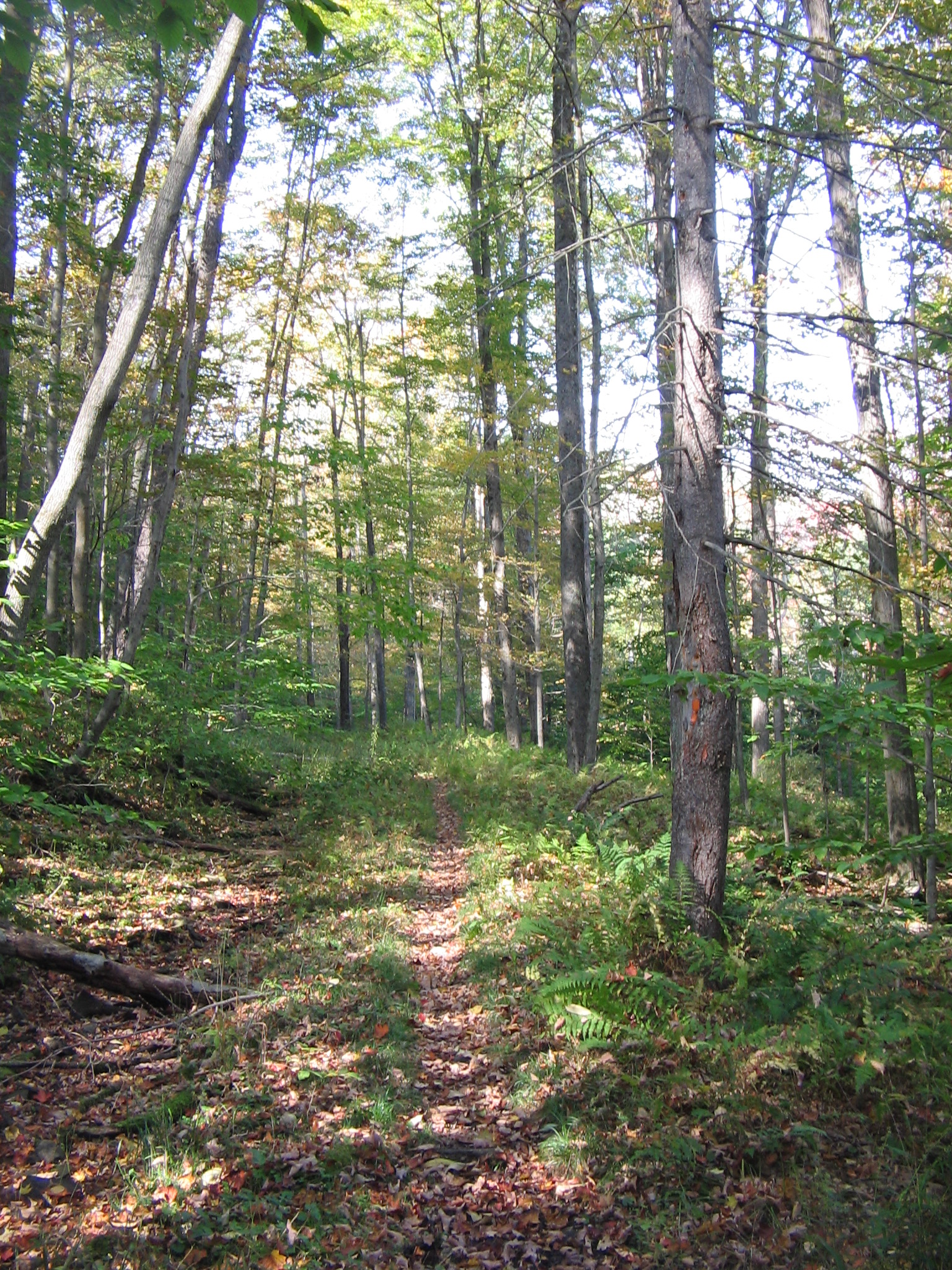 Old Loggers PathHiking · ~5 min drivePhoto: User:Ruhrfisch, CC BY-SA 3.0 (via Wikimedia Commons)
- Old Loggers PathHiking · ~5 min drivePhoto: User:Ruhrfisch, CC BY-SA 3.0 (via Wikimedia Commons)
 Fern Rock Nature TrailHiking · ~15 min drivePhoto: Nicholas_T, CC BY 2.0 (via Flickr)
- Loyalsock TrailHiking · ~14 min drive
- Old Loggers PathHiking · ~8 min drivePhoto: User:Ruhrfisch, CC BY-SA 3.0 (via Wikimedia Commons)
- Old Loggers PathHiking · ~11 min drivePhoto: User:Ruhrfisch, CC BY-SA 3.0 (via Wikimedia Commons)
- Pole Hill TrailHiking · Next door
- Old Loggers PathHiking · ~10 min drivePhoto: User:Ruhrfisch, CC BY-SA 3.0 (via Wikimedia Commons)
- Bryan's TrailHiking · ~1 min drive
- Old Loggers PathHiking · ~12 min drivePhoto: User:Ruhrfisch, CC BY-SA 3.0 (via Wikimedia Commons)
Best time to visit Nolans Trail
Best months: August–October. Best months have typical highs of 55–85 °F, lows of 30 °F or warmer (32 °F where the station doesn't record snow), at most one snowy day and no more than 12 wet days.
Jan
29° / 14°
16 wet · 9 snow
Feb
32° / 15°
14 wet · 8 snow
Mar
40° / 22°
14 wet · 6 snow
Apr
54° / 33°
14 wet · 2 snow
May
65° / 44°
15 wet
Jun
73° / 54°
14 wet
Jul
78° / 58°
13 wet
Aug
75° / 56°
12 wet
Sep
68° / 49°
11 wet
Oct
56° / 38°
12 wet · 1 snow
Nov
44° / 29°
13 wet · 3 snow
Dec
34° / 20°
15 wet · 6 snow
Typical high / low (°F) and days with rain or snow, 1991–2020. Measured at Laporte, PA, 14.9 mi away at 1,966 ft. Source: NOAA NCEI U.S. Climate Normals 1991–2020.
Map and trail data © OpenStreetMap contributors
