Musser Trail
- 0.6 mi
- round trip
- 633 ft
- climb
- 2,070 ft
- high point
- Out and back
- route
- Jun–Oct
- best months
Musser Trail is a short, easy hike in Rothrock State Forest in central Pennsylvania, managed by the State Department of Natural Resources. The trail is an out-and-back route of about 1.3 miles, with a total climb of about 633 feet. The high point is 2,070 feet, and the steepest stretch comes within the first 0.15 miles, where the grade reaches about 42 percent. The trail starts near 2,068 feet and ends at about 1,443 feet, so the climb is back-loaded. The trip takes about half an hour, and the trail is open year-round. For comfortable weather, late spring and early fall are the best bets. Typical averages from a nearby weather station in State College show May highs around 69°F and September highs around 72°F, though that station sits roughly 900 feet lower than the trail's high point, so temperatures on the ridge run cooler. Musser Gap Trail lies just 0.1 mile away, and Frog Hollow Trail and Huckleberry Loop are each within about half a mile. The Mid-State Trail passes about 1.2 miles off.
- Musser Gap TrailHiking0.1 mi
- Frog Hollow TrailHiking0.5 mi
- Huckleberry LoopHiking0.6 mi
- Up and Over TrailHiking0.7 mi
- Fern Winder TrailHiking0.7 mi
- Mid-State TrailHiking1.2 mi
- Eversince AreaRock climbing2.3 mi
- Greenwood Furnace CampCamping7.6 mi
Source: Roamze catalog (indexable pages within 10 miles, PostGIS distance)
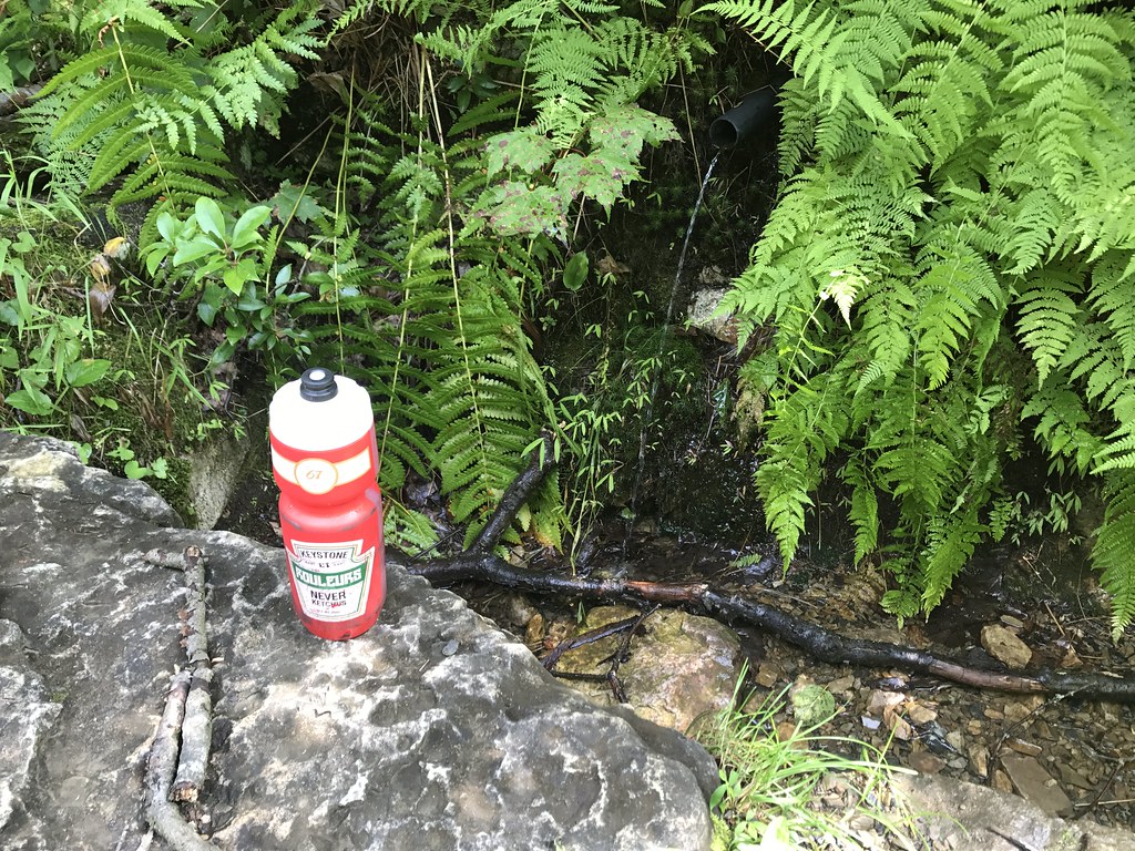 Little Shingletown TrailHiking · ~3 min drivePhoto: alex_cuse, CC BY 2.0 (via Flickr)
 Ironstone TrailHiking · ~5 min drivePhoto: cogdogblog, CC BY 2.0 (via Flickr)
- Up and Over TrailHiking · ~1 min drive
- Mid-State TrailHiking · ~2 min drive
 Sand Spring TrailHiking · ~5 min drivePhoto: Jim Stuby, Public domain (via Wikimedia Commons)
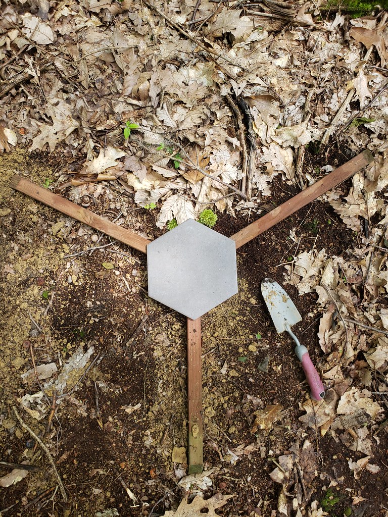 Mongo TrailHiking · ~5 min drivePhoto: Frost Museum, CC BY 2.0 (via Flickr)
- Jackson TrailHiking · ~5 min drive
- Musser Gap TrailHiking · Next door
- Frog Hollow TrailHiking · Next door
- Musser Gap TrailHiking · Next door
Best time to visit Musser Trail
Best months: June–October. Best months have typical highs of 55–85 °F, lows of 30 °F or warmer (32 °F where the station doesn't record snow), at most one snowy day and no more than 12 wet days.
Jan
34° / 21°
13 wet
Feb
37° / 22°
11 wet
Mar
46° / 28°
12 wet
Apr
59° / 39°
13 wet
May
69° / 50°
14 wet
Jun
77° / 59°
12 wet
Jul
81° / 63°
12 wet
Aug
79° / 62°
12 wet
Sep
72° / 54°
11 wet
Oct
61° / 43°
11 wet
Nov
49° / 34°
11 wet
Dec
38° / 26°
13 wet
Typical high / low (°F) and days with rain or snow, 1991–2020. Measured at State College, PA, 4.1 mi away at 1,170 ft. The station sits about 900 ft lower than this place, so expect it a little cooler here. This station doesn't record snowfall. Source: NOAA NCEI U.S. Climate Normals 1991–2020.
Map and trail data © OpenStreetMap contributors
