Mid-State Trail
- 1.2 mi
- round trip
- 457 ft
- climb
- 1,690 ft
- high point
- Out and back
- route
- Aug–Sep
- best months
The Mid-State Trail is an easy, out-and-back hike of about 2.3 miles that starts and ends at roughly 1,690 feet. The trail rises to a high point of about 1,690 feet and descends back to the same level, with a total gain and loss of about 457 feet over the round trip. The steepest stretch comes at about the 1-mile mark, where the grade reaches 16%. The trail sits in north-central Pennsylvania, about 1.6 miles from the town of Hammond. The trip takes about an hour to complete. For comfortable weather, aim for late spring or early fall. Typical averages from a nearby weather station at Tioga Hammond Dam show May highs around 69°F and September highs around 73°F. That station sits about 460 feet lower than the trail, so temperatures on the trail run a little cooler. Ives Run campground is about 2 miles away, and the C. Lynn Keller Trail is about 2.9 miles off. South Shore Recreation Area and Lawrence Recreation Area, both campgrounds, are each about 5 miles from the trail.
Local outfitters
- Wild Asaph Outfitters12 mi away
- Pine Creek Outfitters16 mi away
Not on Roamze yet. Their page has how to reach them.
 Ives RunCampingPhoto: Recreation.gov (RIDB) / public domain2 mi
- C. Lynn Keller TrailHiking2.9 mi
- South Shore Recreation AreaCamping5 mi
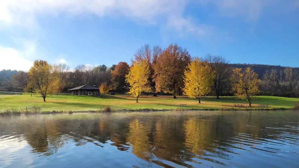 Lawrence Recreation AreaCampingPhoto: Recreation.gov (RIDB) / public domain5.6 mi
 TompkinsCampingPhoto: Recreation.gov (RIDB) / public domain5.6 mi
- Niles Valley TrailHiking6.3 mi
- Roe TrailHiking6.5 mi
- Root Hollow TrailHiking7 mi
Source: Roamze catalog (indexable pages within 10 miles, PostGIS distance)
- Mid-State TrailHiking · ~2 min drive
- Mid-State TrailHiking · ~4 min drive
- C. Lynn Keller TrailHiking · ~5 min drive
- Niles Valley TrailHiking · ~11 min drive
- C. Lynn Keller TrailHiking · ~7 min drive
- Bee Tree Ski TrailHiking · ~28 min drive
- Mid-State TrailHiking · ~9 min drive
- Mid-State TrailHiking · ~26 min drive
- Mid-State TrailHiking · ~9 min drive
- Deer TrailHiking · ~20 min drive
Best time to visit Mid-State Trail
Best months: August–September. Best months have typical highs of 55–85 °F, lows of 30 °F or warmer (32 °F where the station doesn't record snow), at most one snowy day and no more than 12 wet days.
Jan
32° / 15°
14 wet · 6 snow
Feb
35° / 15°
12 wet · 6 snow
Mar
43° / 22°
13 wet · 4 snow
Apr
57° / 33°
14 wet · 1 snow
May
69° / 44°
14 wet
Jun
77° / 53°
13 wet
Jul
82° / 58°
13 wet
Aug
80° / 57°
12 wet
Sep
73° / 50°
11 wet
Oct
60° / 39°
13 wet
Nov
47° / 30°
13 wet · 2 snow
Dec
37° / 22°
14 wet · 5 snow
Typical high / low (°F) and days with rain or snow, 1991–2020. Measured at Tioga Hammond Dam, PA, 3.6 mi away at 1,230 ft. Source: NOAA NCEI U.S. Climate Normals 1991–2020.
Map and trail data © OpenStreetMap contributors
