Lehigh and New England Trail
- 2.7 mi
- round trip
- 998 ft
- climb
- 851 ft
- high point
- Out and back
- route
- Apr, Jun–Oct
- best months
The Lehigh and New England Trail is a 5.4-mile out-and-back hike in Pennsylvania, about 1.2 miles from the town of Tamaqua. The route rises from a low point of 748 feet to a high of 851 feet, with a total elevation gain of 998 feet over the round trip. The steepest stretch comes at about 1.5 miles in, where the grade reaches 10 percent. Late spring and early fall are the most comfortable times to go. Typical averages from a nearby weather station in Lehighton show May highs around 70°F and September highs around 73°F, while winter brings highs in the 30s and a few snowy days each month from December through February. The hike takes about 2.5 hours. The Tenderfoot Trail lies about 1.6 miles away, and the Mary D Walking Trail is about 5 miles off. Paddlers can reach the Little Schuylkill River Water Trail at about 6.7 miles, and New Tripoli Campsite is about 10 miles away.
- Tenderfoot TrailHiking1.6 mi
- Mary D Walking TrailHiking5 mi
- Switchback TrailHiking6.6 mi
- Little Schuylkill River Water TrailCanoeing6.7 mi
- Twin Peaks DHHiking7.1 mi
- Cabin RidgeHiking8.1 mi
- Summit Hill SingletrackHiking8.1 mi
- New Tripoli CampsiteCamping10 mi
Source: Roamze catalog (indexable pages within 10 miles, PostGIS distance)
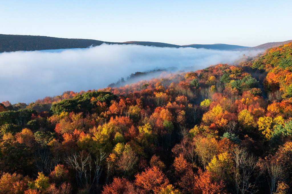 Shoreline TrailHiking · ~15 min drivePhoto: Anthony Quintano, CC BY 2.0 (via Flickr)
 Glen Onoko TrailHiking · ~22 min drivePhoto: Thekohser, CC BY-SA 4.0 (via Wikimedia Commons)
 Lookout TrailHiking · ~17 min drivePhoto: Discover Lehigh Valley, PA, CC BY 2.0 (via Flickr)
- Switchback TrailHiking · ~11 min drive
- Tenderfoot TrailHiking · ~3 min drive
- Shoreline TrailHiking · ~17 min drive
- Mary D Walking TrailHiking · ~9 min drive
- River of Rocks TrailHiking · ~17 min drive
- Twin Peaks DHHiking · ~12 min drive
- Pinnacle Trail (Yellow Trail)Hiking · ~21 min drive
Best time to visit Lehigh and New England Trail
Best months: April and June–October. Best months have typical highs of 55–85 °F, lows of 30 °F or warmer (32 °F where the station doesn't record snow), at most one snowy day and no more than 12 wet days.
Jan
36° / 19°
10 wet · 4 snow
Feb
38° / 21°
9 wet · 3 snow
Mar
47° / 28°
10 wet · 2 snow
Apr
61° / 38°
11 wet
May
70° / 48°
14 wet
Jun
78° / 57°
12 wet
Jul
82° / 62°
12 wet
Aug
80° / 60°
11 wet
Sep
73° / 53°
10 wet
Oct
62° / 41°
11 wet
Nov
50° / 32°
10 wet
Dec
40° / 24°
11 wet · 2 snow
Typical high / low (°F) and days with rain or snow, 1991–2020. Measured at Lehighton 1ssw, PA, 14.1 mi away at 455 ft. Source: NOAA NCEI U.S. Climate Normals 1991–2020.
Map and trail data © OpenStreetMap contributors
