Laurel Run Trail
- 1.9 mi
- round trip
- 626 ft
- climb
- 3,106 ft
- high point
- Out and back
- route
- Aug–Oct
- best months
Laurel Run Trail is an easy out-and-back hike in Forbes State Forest in Pennsylvania, managed by the State Department of Natural Resources. The trail is about 3.8 miles long, with a total elevation gain of 626 feet, and it starts at roughly 3,100 feet, reaching a high point of about 3,106 feet before returning to the starting level. The route is rated easy, and the climb is spread out along the way. The steepest stretch comes at about 1.2 miles in, with a grade of about 12 percent. The trail is a short drive from the town of Meyersdale, and the nearest neighbor is the Livengood Trail, about 0.4 miles away. Summer and early fall are the most comfortable times to go. Typical averages from a nearby weather station in Meyersdale show July highs around 80°F and September highs around 73°F, with the station sitting well below the trail's elevation, so temperatures on the trail run cooler. The trip takes about 1.5 hours. Other nearby options include the Tub Mill Trail, about 1.7 miles away, and the Casselman River, about 5.4 miles away across the state line in Maryland.
Local outfitters
- Paddler's Lane Retreat11 mi away
Not on Roamze yet. Their page has how to reach them.
- Livengood TrailHiking0.4 mi
 Tub Mill TrailHikingPhoto: chris.peplin, CC BY 2.0 (via Flickr)1.7 mi
- Casselman RiverRiver fishing5.4 mi
 Asa Durst TrailHikingPhoto: NicoleSharp, CC BY-SA 2.0 (via Flickr)8.9 mi
- Meadow Mountain TrailHikingPhoto: NicoleSharp, CC BY-SA 2.0 (via Flickr)9.6 mi
- Outflow CampingPier fishing9.8 mi
Source: Roamze catalog (indexable pages within 10 miles, PostGIS distance)
- Tub Mill TrailHiking · ~3 min drivePhoto: chris.peplin, CC BY 2.0 (via Flickr)
- Asa Durst TrailHiking · ~15 min drivePhoto: NicoleSharp, CC BY-SA 2.0 (via Flickr)
- Laurel Highlands Hiking TrailHiking · ~23 min drive
- Meadow Mountain TrailHiking · ~23 min drive
 Poplar Lick TrailHiking · ~18 min drivePhoto: DMSDMS215, CC BY-SA 4.0 (via Wikimedia Commons)
- Meadow Mountain TrailHiking · ~16 min drivePhoto: NicoleSharp, CC BY-SA 2.0 (via Flickr)
- Big Savage Mountain TrailHiking · ~23 min drive
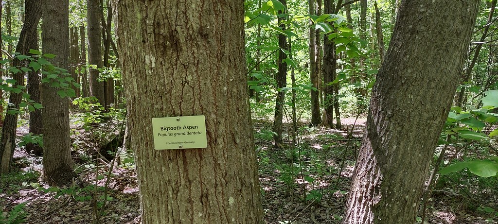 The Dorothy TrailHiking · ~19 min drivePhoto: NicoleSharp, CC BY-SA 2.0 (via Flickr)
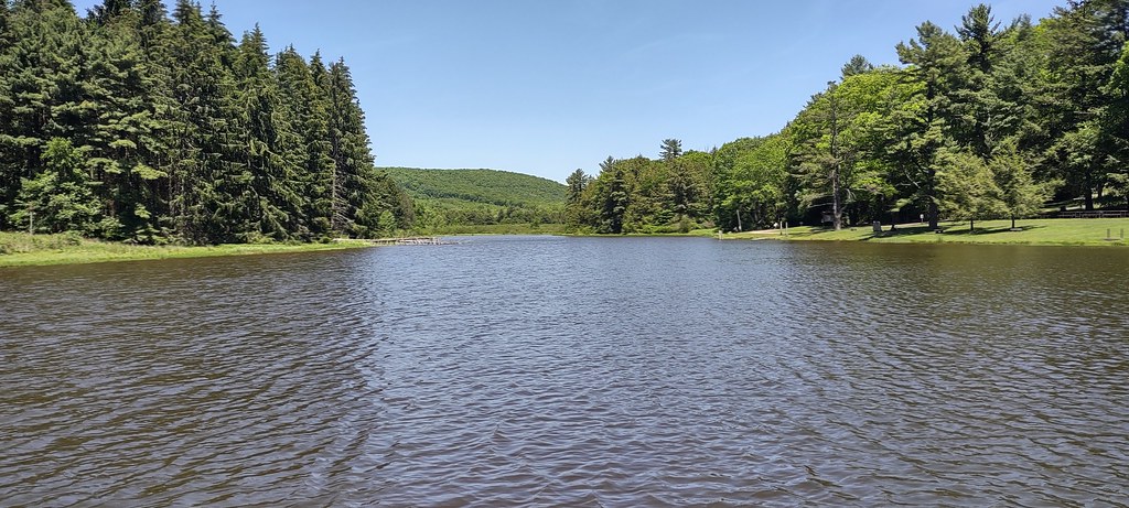 Turnpike TrailHiking · ~17 min drivePhoto: NicoleSharp, CC BY-SA 2.0 (via Flickr)
- McCune TrailHiking · ~24 min drive
Best time to visit Laurel Run Trail
Best months: August–October. Best months have typical highs of 55–85 °F, lows of 30 °F or warmer (32 °F where the station doesn't record snow), at most one snowy day and no more than 12 wet days.
Jan
34° / 17°
16 wet
Feb
38° / 17°
14 wet
Mar
46° / 24°
14 wet
Apr
59° / 33°
14 wet
May
68° / 43°
15 wet
Jun
76° / 52°
14 wet
Jul
80° / 56°
13 wet
Aug
78° / 54°
12 wet
Sep
73° / 48°
11 wet
Oct
61° / 37°
12 wet
Nov
49° / 28°
12 wet
Dec
39° / 21°
15 wet
Typical high / low (°F) and days with rain or snow, 1991–2020. Measured at Meyersdale 2 Ssw, PA, 7.9 mi away at 2,000 ft. The station sits about 1,100 ft lower than this place, so expect it a little cooler here. This station doesn't record snowfall. Source: NOAA NCEI U.S. Climate Normals 1991–2020.

Map and trail data © OpenStreetMap contributors
