Ironton Rail Trail
- 1.3 mi
- round trip
- 191 ft
- climb
- 336 ft
- high point
- Out and back
- route
- Apr–Jun, Aug–Oct
- best months
Ironton Rail Trail is an easy out-and-back hike of about 2.6 miles in Pennsylvania, set within a short walk of the small town of Stiles, about 0.3 miles away. The route is flat overall, with a high point of about 336 feet and a low of about 301 feet. The trail is short and gentle, and a round trip will see you gain and lose about 191 feet. Spring and fall are the most comfortable seasons. Typical averages from a nearby weather station in Allentown run to highs around 73°F in May and 77°F in September, while July averages about 86°F and January highs sit near 38°F. The hike takes about an hour to complete, so it works well as a short stop close to town. The D&L Trail lies about 1.4 miles away, and Luby Loops is about 2.4 miles off. Climbers can find The Brain and Bauer Rock painted rocks about 7.5 miles away.
- D&L TrailHiking1.4 mi
- Luby LoopsHiking2.4 mi
- Ponds Loop (inner)Hiking2.4 mi
- Bauer Rock painted rocksRock climbing7.5 mi
- The BrainRock climbing7.5 mi
- Bauer Rock (South Mountain)Rock climbing7.6 mi
- Behind BauerRock climbing7.6 mi
- Creekside PathMountain biking8.1 mi
Source: Roamze catalog (indexable pages within 10 miles, PostGIS distance)
 Back LoopHiking · ~8 min drivePhoto: Serendipedd, CC BY-SA 3.0 (via Wikimedia Commons)
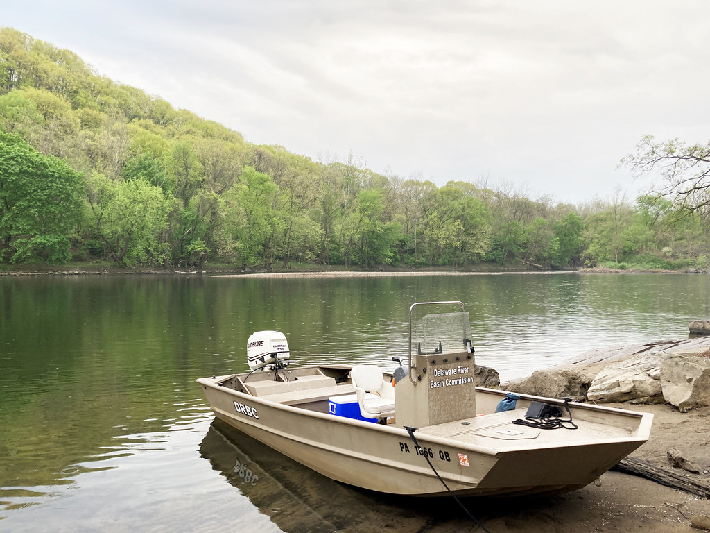 D&L TrailHiking · ~9 min drivePhoto: Delaware River Basin Commission (DRBC), CC BY 2.0 (via Flickr)
- Upper Trexler LoopHiking · ~8 min drivePhoto: Serendipedd, CC BY-SA 3.0 (via Wikimedia Commons)
- Ironton Rail TrailHiking · ~2 min drive
- Cedar Creek PathHiking · ~9 min drivePhoto: Serendipedd, CC BY-SA 3.0 (via Wikimedia Commons)
- Trexler Border TrailHiking · ~10 min drive
 Trexler Nature TrailHiking · ~10 min drivePhoto: Hoyabird8, CC BY-SA 3.0 (via Wikimedia Commons)
- Lenni TrailHiking · ~10 min drive
- Observation TrailHiking · ~10 min drivePhoto: Hoyabird8, CC BY-SA 3.0 (via Wikimedia Commons)
- Trexler Border TrailHiking · ~10 min drive
Best time to visit Ironton Rail Trail
Best months: April–June and August–October. Best months have typical highs of 55–85 °F, lows of 30 °F or warmer (32 °F where the station doesn't record snow), at most one snowy day and no more than 12 wet days.
Jan
38° / 22°
11 wet · 5 snow
Feb
42° / 23°
10 wet · 4 snow
Mar
51° / 31°
11 wet · 3 snow
Apr
63° / 40°
12 wet
May
73° / 51°
12 wet
Jun
82° / 60°
11 wet
Jul
86° / 65°
11 wet
Aug
84° / 63°
10 wet
Sep
77° / 55°
9 wet
Oct
65° / 44°
10 wet
Nov
54° / 34°
9 wet · 1 snow
Dec
43° / 27°
11 wet · 3 snow
Typical high / low (°F) and days with rain or snow, 1991–2020. Measured at Allentown Intl Ap, PA, 3.1 mi away at 390 ft. Source: NOAA NCEI U.S. Climate Normals 1991–2020.
Map and trail data © OpenStreetMap contributors
