Flat Ridge Trail
- 1.1 mi
- round trip
- 220 ft
- climb
- 1,801 ft
- high point
- Out and back
- route
- Apr, Jun–Oct
- best months
Flat Ridge Trail is an easy hike in Sproul State Forest in Pennsylvania, managed by the State Department of Natural Resources. The trail is about 1.1 miles long and has a total elevation gain of 220 feet, making it a short, low-effort outing. The route is an out-and-back that starts and ends at about 1,801 feet. The climb is gentle overall, with the steepest stretch at about 0.98 miles in, where the grade reaches 15%. The trail's high point is 1,801 feet, and the low point is 1,598 feet. For comfortable weather, late spring and early fall are the best bets. Typical averages from a nearby weather station show May highs around 73°F and September highs around 76°F. That station sits well below the trail, so temperatures on the ridge run cooler. Several other trails lie within a couple of miles, including Twin Springs Trail, Boyer Trail, Long Hollow Trail and Park Line Trail.
Local outfitters
- Pine Creek Outfitters34 mi away
- Wild Asaph Outfitters36 mi away
Not on Roamze yet. Their page has how to reach them.
- Twin Springs TrailHiking1.2 mi
- Boyer TrailHiking1.3 mi
- Long Hollow TrailHiking1.5 mi
- Park Line TrailHiking1.6 mi
- Oak Ridge TrailHiking1.7 mi
- Goldenrod TrailHiking2.2 mi
- Ferney Run TrailHiking2.7 mi
- Donut Hole TrailHiking3.2 mi
Source: Roamze catalog (indexable pages within 10 miles, PostGIS distance)
 Ritchie Run TrailHiking · ~8 min drivePhoto: Nicholas_T, CC BY 2.0 (via Flickr)
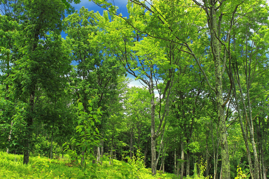 Pipeline TrailHiking · ~10 min drivePhoto: Nicholas_T, CC BY 2.0 (via Flickr)
- Bear Pen TrailHiking · ~10 min drive
- Old Wagon TrailHiking · ~15 min drive
- Johnson Run TrailHiking · ~11 min drivePhoto: Nicholas_T, CC BY 2.0 (via Flickr)
- Twin Springs TrailHiking · ~2 min drive
- Eiger TrailHiking · ~14 min drive
 Middle Hill TrailHiking · ~13 min drivePhoto: Gerry Dincher, CC BY-SA 2.0 (via Flickr)
- Boyer TrailHiking · ~2 min drive
- Long Hollow TrailHiking · ~3 min drive
Best time to visit Flat Ridge Trail
Best months: April and June–October. Best months have typical highs of 55–85 °F, lows of 30 °F or warmer (32 °F where the station doesn't record snow), at most one snowy day and no more than 12 wet days.
Jan
35° / 18°
12 wet · 5 snow
Feb
38° / 19°
10 wet · 4 snow
Mar
48° / 26°
11 wet · 3 snow
Apr
62° / 36°
12 wet
May
73° / 47°
13 wet
Jun
80° / 57°
12 wet
Jul
85° / 61°
11 wet
Aug
83° / 60°
11 wet
Sep
76° / 53°
10 wet
Oct
64° / 41°
11 wet
Nov
51° / 31°
11 wet · 1 snow
Dec
40° / 24°
12 wet · 3 snow
Typical high / low (°F) and days with rain or snow, 1991–2020. Measured at Lock Haven Sewage Plt, PA, 9.8 mi away at 566 ft. The station sits about 1,200 ft lower than this place, so expect it a little cooler here. Source: NOAA NCEI U.S. Climate Normals 1991–2020.

Map and trail data © OpenStreetMap contributors
