Boulder Trail
- 1.2 mi
- round trip
- 1,016 ft
- climb
- 1,240 ft
- high point
- Out and back
- route
- Jun–Oct
- best months
Boulder Trail is a moderate out-and-back hike in Rothrock State Forest in Pennsylvania, managed by the State Department of Natural Resources. The trail is about 2.3 miles long, with a total elevation gain of 1,016 feet, and it starts and ends at about 897 feet, reaching a high point of 1,240 feet. The climb is steepest near the start, with a grade of about 25% at 0.17 miles in. For comfortable weather, aim for late spring or early fall. Typical averages from a nearby weather station at Raystown Lake show May highs around 72°F and September highs around 76°F, with July the warmest month at about 85°F. The hike takes about 1.5 hours. Laurel Run Trail and Copperas Rock Trail both lie within half a mile, and Raystown Lake is about 1.3 miles away. Nancy's Boat to Shore Campground is about 1.6 miles off.
- Laurel Run TrailHiking0.3 mi
- Copperas Rock TrailHiking0.4 mi
- Terrace Mountain TrailHiking0.5 mi
- Raystown LakeLake fishing1.3 mi
- Nancy's Boat to Shore Campground (pa)Camping1.6 mi
- Tatman Run Picnic ShelterCamping2.7 mi
- Aitch Picnic ShelterCamping4 mi
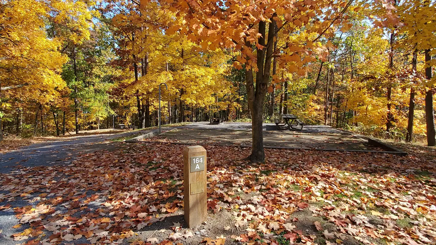 Seven PointsLake fishing4.6 mi
Source: Roamze catalog (indexable pages within 10 miles, PostGIS distance)
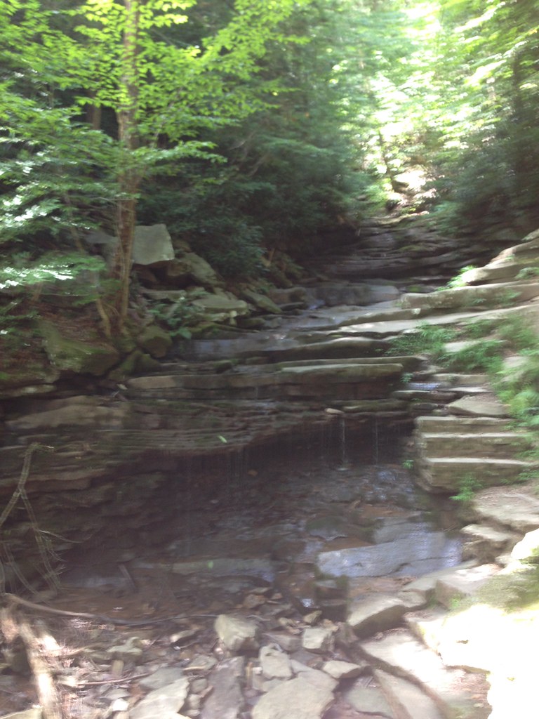 Raven Rock TrailHiking · Next doorPhoto: alex_cuse, CC BY 2.0 (via Flickr)
 Brumbaugh TrailHiking · ~1 min drivePhoto: alex_cuse, CC BY 2.0 (via Flickr)
- Terrace Mountain TrailHiking · Next door
- Old Logger's TrailHiking · ~9 min drive
 Down Under TrailHiking · ~5 min drivePhoto: alex_cuse, CC BY 2.0 (via Flickr)
- Laurel Run TrailHiking · Next door
- Mid-State TrailHiking · ~10 min drive
 Doe TrailHiking · ~11 min drivePhoto: alex_cuse, CC BY 2.0 (via Flickr)
- Ledges TrailHiking · Next door
- Fawn TrailHiking · ~11 min drivePhoto: alex_cuse, CC BY 2.0 (via Flickr)
Best time to visit Boulder Trail
Best months: June–October. Best months have typical highs of 55–85 °F, lows of 30 °F or warmer (32 °F where the station doesn't record snow), at most one snowy day and no more than 12 wet days.
Jan
37° / 21°
11 wet
Feb
40° / 22°
9 wet
Mar
49° / 29°
11 wet
Apr
61° / 40°
13 wet
May
72° / 50°
14 wet
Jun
80° / 58°
12 wet
Jul
85° / 63°
12 wet
Aug
84° / 62°
12 wet
Sep
76° / 55°
11 wet
Oct
64° / 44°
11 wet
Nov
52° / 34°
10 wet
Dec
41° / 27°
11 wet
Typical high / low (°F) and days with rain or snow, 1991–2020. Measured at Raystown Lake 2, PA, 4.6 mi away at 1,000 ft. This station doesn't record snowfall. Source: NOAA NCEI U.S. Climate Normals 1991–2020.
Map and trail data © OpenStreetMap contributors
