Baker Trail
- 6.2 mi
- round trip
- 1,699 ft
- climb
- 1,712 ft
- high point
- Out and back
- route
- May–Oct
- best months
Baker Trail is a 12.3-mile out-and-back hike on State Game Land 024 in Pennsylvania, managed by State Fish and Wildlife. The route starts and ends at about 1,472 feet, with a high point of 1,712 feet, and the climb is steady, with the steepest stretch at about 3 miles in, where the grade reaches 16%. The total elevation gain is 1,699 feet, and the trail is rated expert. Summer is the most comfortable time to go. Typical averages from a nearby weather station at Cooksburg run to highs around 80°F in July, with lows near 55°F. That station sits a few hundred feet lower than the trail's high point, so temperatures up top run a little cooler. The hike takes about five hours. The Baker Trail / North Country Trail / Browns Run Trail lies about 2.8 miles away, and the North Country National Scenic Trail is about 4 miles off. Climbers can head to The Northwest, about 3.6 miles away, and Kellettville Recreation Area offers fishing and camping about 7.6 miles from the trail.
- Baker Trail / North Country Trail / Browns Run TrailHiking2.8 mi
- The NorthwestRock climbing3.6 mi
- North Country National ScenicHiking4 mi
- Hefren Run TrailHiking5.4 mi
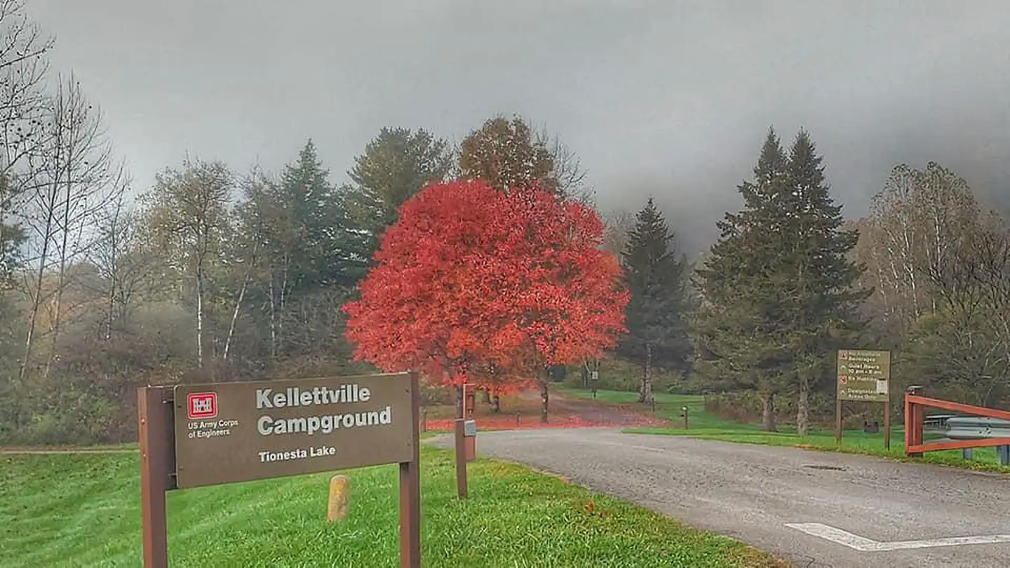 Kellettville Recreation AreaLake fishing7.6 mi
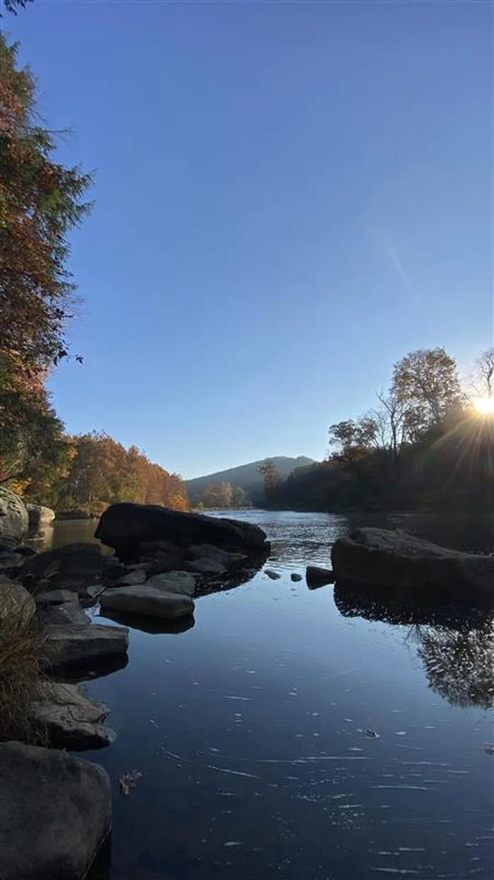 Kellettville Recreation Area (pa)CampingPhoto: Recreation.gov (RIDB) / public domain7.6 mi
- Loleta Rec AreaCamping7.7 mi
- Flying W RanchCamping8.3 mi
Source: Roamze catalog (indexable pages within 10 miles, PostGIS distance)
 Bridle TrailHiking · ~9 min drivePhoto: daveynin, CC BY 2.0 (via Flickr)
 North Country Trail / Baker Trail / Hemlock TrailHiking · ~12 min drivePhoto: Ron Shawley, CC BY 3.0 (via Wikimedia Commons)
- North Country National ScenicHiking · ~7 min drive
- Deer Meadow TrailHiking · ~10 min drivePhoto: daveynin, CC BY 2.0 (via Flickr)
 North Country Trail / Baker Trail / Deer Park TrailHiking · ~12 min drivePhoto: Ron Shawley, CC BY 3.0 (via Wikimedia Commons)
- Black Bear TrailHiking · ~10 min drivePhoto: daveynin, CC BY 2.0 (via Flickr)
 Muddy Fork LoopHiking · ~12 min drivePhoto: andyarthur, CC BY 2.0 (via Flickr)
- Ancient Forest TrailHiking · ~11 min drivePhoto: daveynin, CC BY 2.0 (via Flickr)
 Indian TrailHiking · ~12 min drivePhoto: Ron Shawley, CC BY 3.0 (via Wikimedia Commons)
- Ridge TrailHiking · ~11 min drivePhoto: daveynin, CC BY 2.0 (via Flickr)
Best time to visit Baker Trail
Best months: May–October. Best months have typical highs of 55–85 °F, lows of 30 °F or warmer (32 °F where the station doesn't record snow), at most one snowy day and no more than 12 wet days.
Jan
31° / 13°
Feb
35° / 14°
Mar
44° / 21°
Apr
59° / 31°
May
69° / 42°
Jun
76° / 52°
Jul
80° / 55°
Aug
79° / 54°
Sep
72° / 47°
Oct
60° / 37°
Nov
48° / 28°
Dec
37° / 20°
Typical high / low (°F) and days with rain or snow, 1991–2020. Measured at Cooksburg 2 Nw, PA, 5.7 mi away at 1,450 ft. This station doesn't record snowfall. Source: NOAA NCEI U.S. Climate Normals 1991–2020.
Map and trail data © OpenStreetMap contributors
