6 to 10 Trail (Hiking Only)
- 3.2 mi
- round trip
- 2,110 ft
- climb
- 2,242 ft
- high point
- Out and back
- route
- Jul–Sep
- best months
Is 6 to 10 Trail (Hiking Only) open right now?
Closure in the area
There's a closure order in Allegheny Portage Railroad National Historic Site. It doesn't name 6 to 10 Trail (Hiking Only), so check the source for the area it covers.
Staple Bend Tunnel Closure
Park closure covering Allegheny Portage Railroad National Historic Site · NPS · Allegheny Portage Railroad National Historic Site
As of · Source: NPS · Allegheny Portage Railroad National Historic Site. Agencies don't list every closure — check before you go.
The 6 to 10 Trail (Hiking Only) is a 3.15-mile moderate hike on the Allegheny Portage Railroad National Historic Site in western Pennsylvania, managed by the National Park Service. It is an out-and-back route that rises from about 1,630 feet to a high point of 2,242 feet, with a total elevation gain of 2,110 feet and a round-trip distance of 6.3 miles. Late spring through early fall is the most comfortable stretch for a visit. Typical averages from a nearby weather station in Altoona show September highs around 73°F and lows near 53°F, with July and August in the low 80s by day and low 60s at night. That station sits roughly 900 feet below the trail, so expect cooler temperatures on the higher reaches. The trail starts close to the Historic Culvert 1532 Spur, and the Skew Arch Trail branch of the 6 to 10 Trail is about 2 miles away. Paddlers can reach Beaverdam Branch, about 5.5 miles off, and Clearfield Creek, about 6.9 miles away.
- Historic Culvert 1532 SpurHiking0.1 mi
- 6 to 10 TrailHiking0.1 mi
 6 to 10 Trail (Skew Arch Trail)HikingPhoto: SlapTheWorld, Public Domain Dedication (CC0) (via Flickr)2 mi
- Level 6 TrailHiking2.1 mi
- Nature TrailHiking2.1 mi
- Beaverdam BranchCanoeing5.5 mi
- Clearfield CreekCanoeing6.9 mi
- Frankstown Branch Juniata RiverCanoeing8.5 mi
Source: Roamze catalog (indexable pages within 10 miles, PostGIS distance)
- 6 to 10 Trail (Skew Arch Trail)Hiking · ~3 min drivePhoto: SlapTheWorld, Public Domain Dedication (CC0) (via Flickr)
- 6 to 10 TrailHiking · Next door
- MTB TrailHiking · ~16 min drive
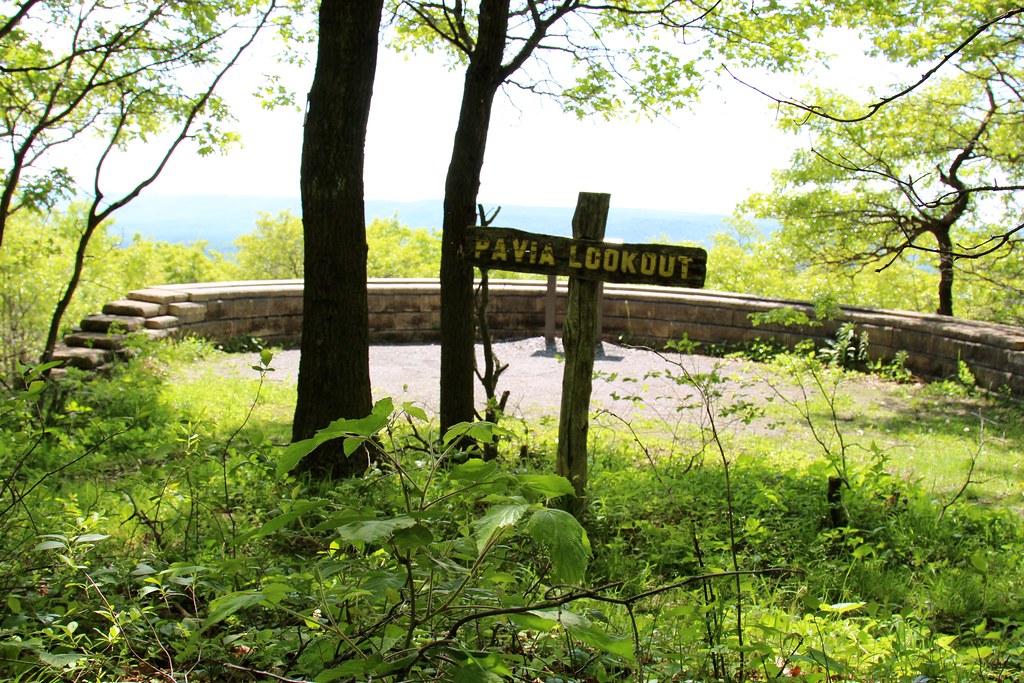 Rock-n-Ridge - MTB TrailHiking · ~18 min drivePhoto: daveynin, CC BY 2.0 (via Flickr)
- Lost Turkey TrailHiking · ~17 min drive
- Mountain View TrailHiking · ~18 min drive
 Rock-n-Ridge #1 - MTB TrailHiking · ~19 min drivePhoto: randomduck, CC BY-SA 2.0 (via Flickr)
- Sawmill TrailHiking · ~18 min drive
- Lost Turkey TrailHiking · ~22 min drive
 Fishermans TrailHiking · ~22 min drivePhoto: string_bass_dave, CC BY-SA 2.0 (via Flickr)
Best time to visit 6 to 10 Trail (Hiking Only)
Best months: July–September. Best months have typical highs of 55–85 °F, lows of 30 °F or warmer (32 °F where the station doesn't record snow), at most one snowy day and no more than 12 wet days.
Jan
34° / 19°
14 wet
Feb
37° / 20°
12 wet
Mar
46° / 28°
13 wet
Apr
60° / 39°
14 wet
May
70° / 49°
16 wet
Jun
77° / 57°
13 wet
Jul
81° / 61°
12 wet
Aug
80° / 60°
12 wet
Sep
73° / 53°
11 wet
Oct
61° / 42°
13 wet
Nov
49° / 33°
14 wet
Dec
38° / 24°
15 wet
Typical high / low (°F) and days with rain or snow, 1991–2020. Measured at Altoona 3 W, PA, 5.1 mi away at 1,320 ft. The station sits about 900 ft lower than this place, so expect it a little cooler here. This station doesn't record snowfall. Source: NOAA NCEI U.S. Climate Normals 1991–2020.
