Rothrock Campsite 6
- Jun–Oct
- best months
- At 1,430 ft
- Rothrock State Forest
Rothrock Campsite 6 is a campground in Pennsylvania at about 1,430 feet. It is managed by the state natural resources department.
- Sassafras TrailHiking0.2 mi
- Sand Hole Ridge TrailMountain biking1.1 mi
- Milligans KnobSummit1.2 mi
- Little MountainSummit2.3 mi
 Penn Roosevelt State ParkState parkPhoto: Clint, CC BY-SA 2.0 (via Wikimedia Commons)3.3 mi
- Honey CreekCanoeing6 mi
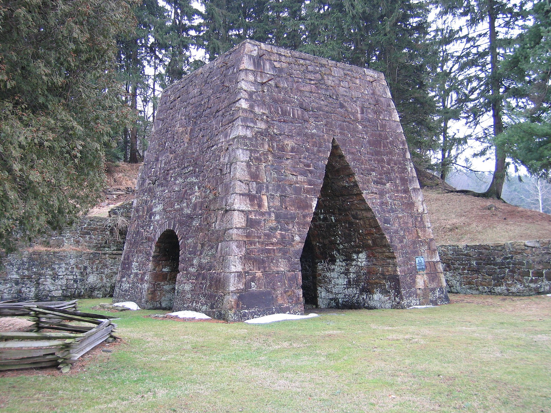 Greenwood Furnace State ParkState parkPhoto: Wherring, CC BY-SA 3.0 (via Wikimedia Commons)6.3 mi
- Greenwood Furnace CampCamping6.4 mi
Source: Roamze catalog (indexable pages within 10 miles, PostGIS distance)
- Hartman Center CampgroundCamping · ~6 min drive
- 005 Crowfield RoadCamping · ~8 min drive
- 004 Bear Meadows RoadCamping · ~9 min drive
- Seven Mountains CampgroundsCamping · ~9 min drive
- Wald SiteCamping · ~10 min drive
- Moyer SiteCamping · ~10 min drive
- Elks SiteCamping · ~10 min drive
- Leopold SiteCamping · ~10 min drive
- Marboe SiteCamping · ~10 min drive
- Seven Mountains Scout CampCamping · ~10 min drive
Best time to visit Rothrock Campsite 6
Best months: June–October. Best months have typical highs of 55–85 °F, lows of 30 °F or warmer (32 °F where the station doesn't record snow), at most one snowy day and no more than 12 wet days.
Jan
34° / 21°
13 wet
Feb
37° / 22°
11 wet
Mar
46° / 28°
12 wet
Apr
59° / 39°
13 wet
May
69° / 50°
14 wet
Jun
77° / 59°
12 wet
Jul
81° / 63°
12 wet
Aug
79° / 62°
12 wet
Sep
72° / 54°
11 wet
Oct
61° / 43°
11 wet
Nov
49° / 34°
11 wet
Dec
38° / 26°
13 wet
Typical high / low (°F) and days with rain or snow, 1991–2020. Measured at State College, PA, 13 mi away at 1,170 ft. This station doesn't record snowfall. Source: NOAA NCEI U.S. Climate Normals 1991–2020.

Map and trail data © OpenStreetMap contributors
