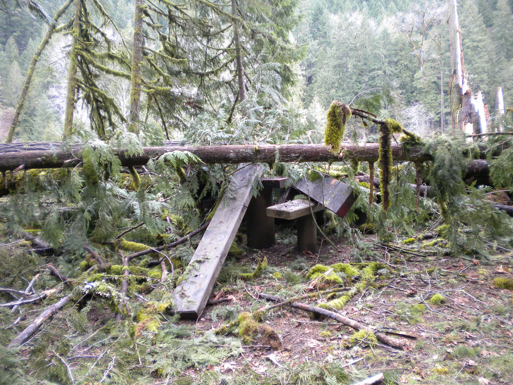
South Fork Winberry Creek
- 9.8 mi
- distance
- 3,650 ft
- high point
Caution at last check
Agency alerts are in effect for this area; weather is good · USFS, OpenWeather · checked 21 h ago
Is South Fork Winberry Creek open right now?
Closure in the area
There's a closure order in Middle Fork Ranger District. It doesn't name South Fork Winberry Creek, so check the source for the area it covers (2 listed).
Cedar Creek Area Closure
Agency closure covering Middle Fork Ranger District · Order 06-18-10-26-04 · USFS · Middle Fork Ranger District
Cedar Creek Fire Closure
Agency closure covering Willamette National Forest · Order 06-18-10-26-04 · USFS · Willamette National Forest
FIRE CLOSURES: Current wildfire closures on the Willamette National Forest
Agency alert covering Willamette National Forest · USFS · Willamette National Forest
2026 Active Wildfire
Agency alert covering Middle Fork Ranger District · USFS · Middle Fork Ranger District
As of · Source: USFS · Middle Fork Ranger District. Agencies don't list every closure — check before you go.
South Fork Winberry Creek is a 9.8-mile paddling stretch near Lowell, Oregon. It flows year-round. USGS models an average flow of about 67 cfs and a gradient of about 259.5 feet per mile. Land along it is managed by the U.S. Forest Service.
Local outfitters
- Casey's Riverside RV Resort7 mi away
- McKenzie Tackle Guide Service19 mi away
Not on Roamze yet. Their page has how to reach them.
- Joe's Peak Trail #3482Hiking0.3 mi
- JOE'S PEAKHiking0.5 mi
- North Fork Winberry CreekCanoeing3.2 mi
- Black Canyon Campground and PicnicCamping3.9 mi
- Black Canyon Campground (Willamette National Forest, OR)Camping4.4 mi
- Winberry CreekCanoeing6.1 mi
- Lookout PointRock climbing6.6 mi
- The R.I.P.Rock climbing6.6 mi
Source: Roamze catalog (indexable pages within 10 miles, PostGIS distance)
 North Fork Middle Fork Willamette RiverCanoeing · ~33 min drivePhoto: Jsayre64, CC BY-SA 3.0 (via Wikimedia Commons)
- Hampton Boat LaunchBoat launch · ~7 min drive
 Fall CreekCanoeing · ~19 min drivePhoto: Jsayre64, CC BY-SA 3.0 (via Wikimedia Commons)
- Black Canyon Boat LaunchBoat launch · ~7 min drive
- North Fork Winberry CreekCanoeing · ~6 min drive
- Larison Cove Picnic Area Boating SiteBoat launch · ~22 min drive
- Winberry CreekCanoeing · ~10 min drive
- C.T. Beach Picnic Area Boating SiteBoat launch · ~24 min drive
- Portland CreekCanoeing · ~12 min drive
- C.T. Beach Picnic Area and Boat LaunchBoat launch · ~24 min drive